
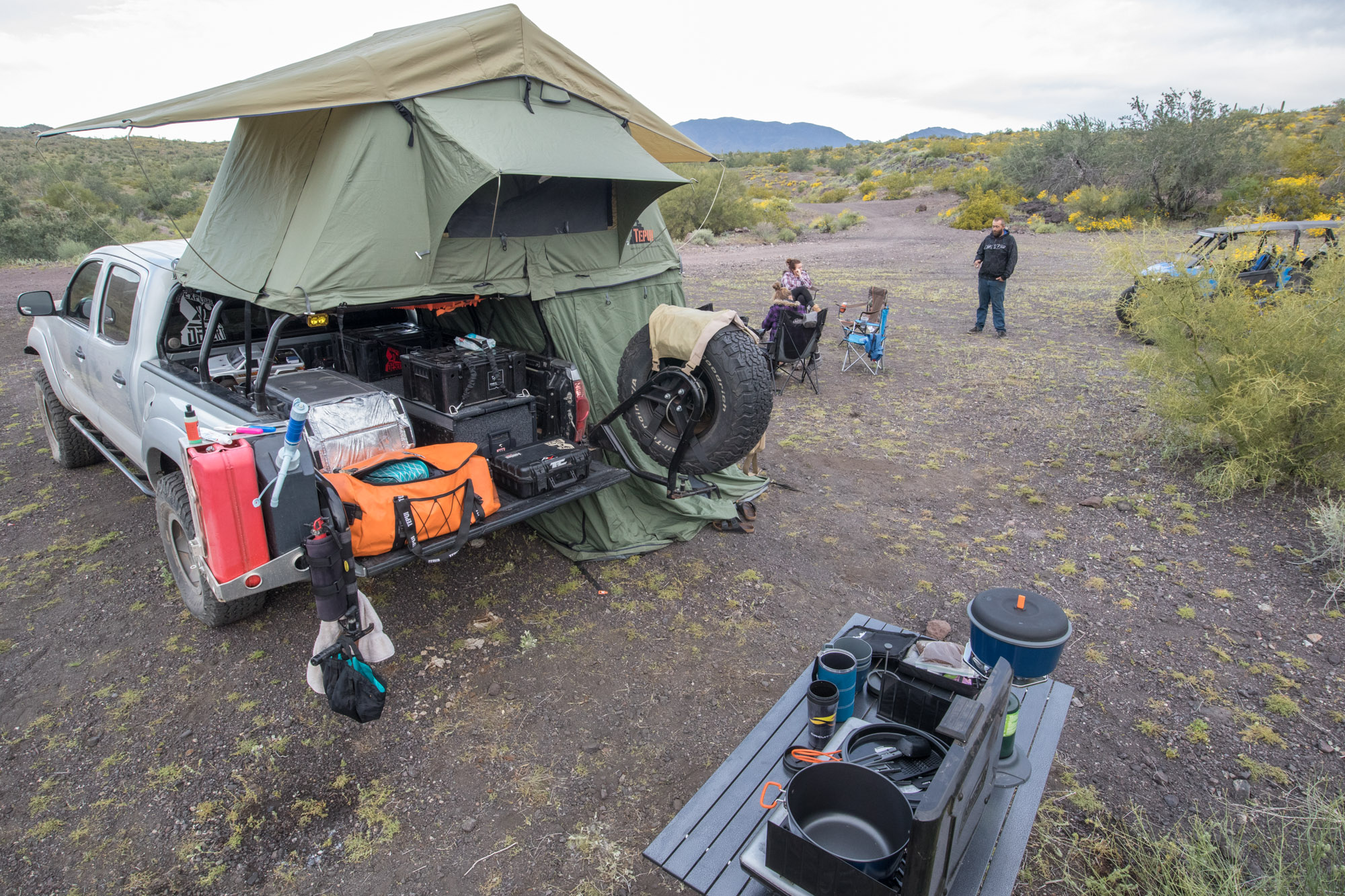
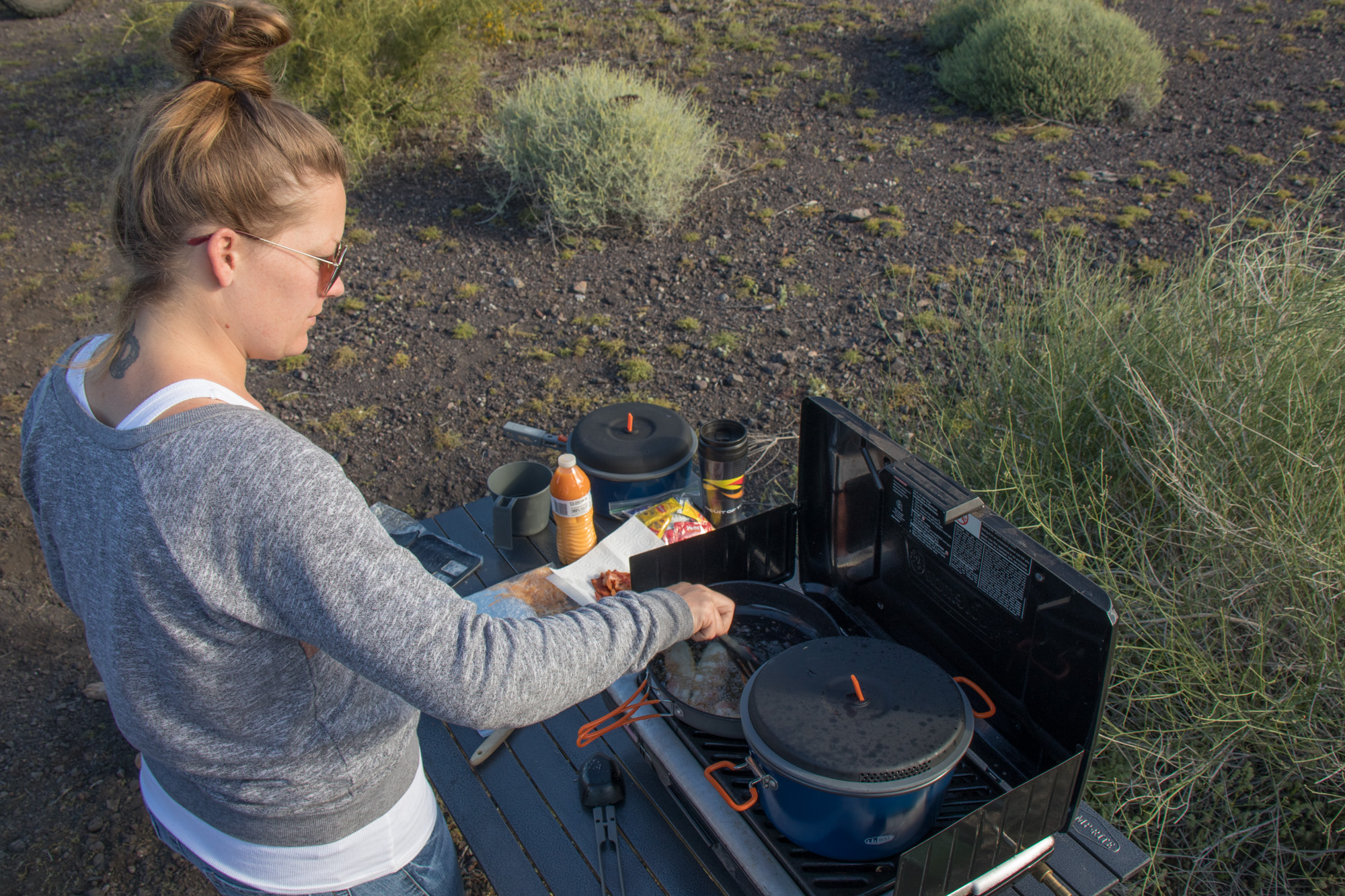
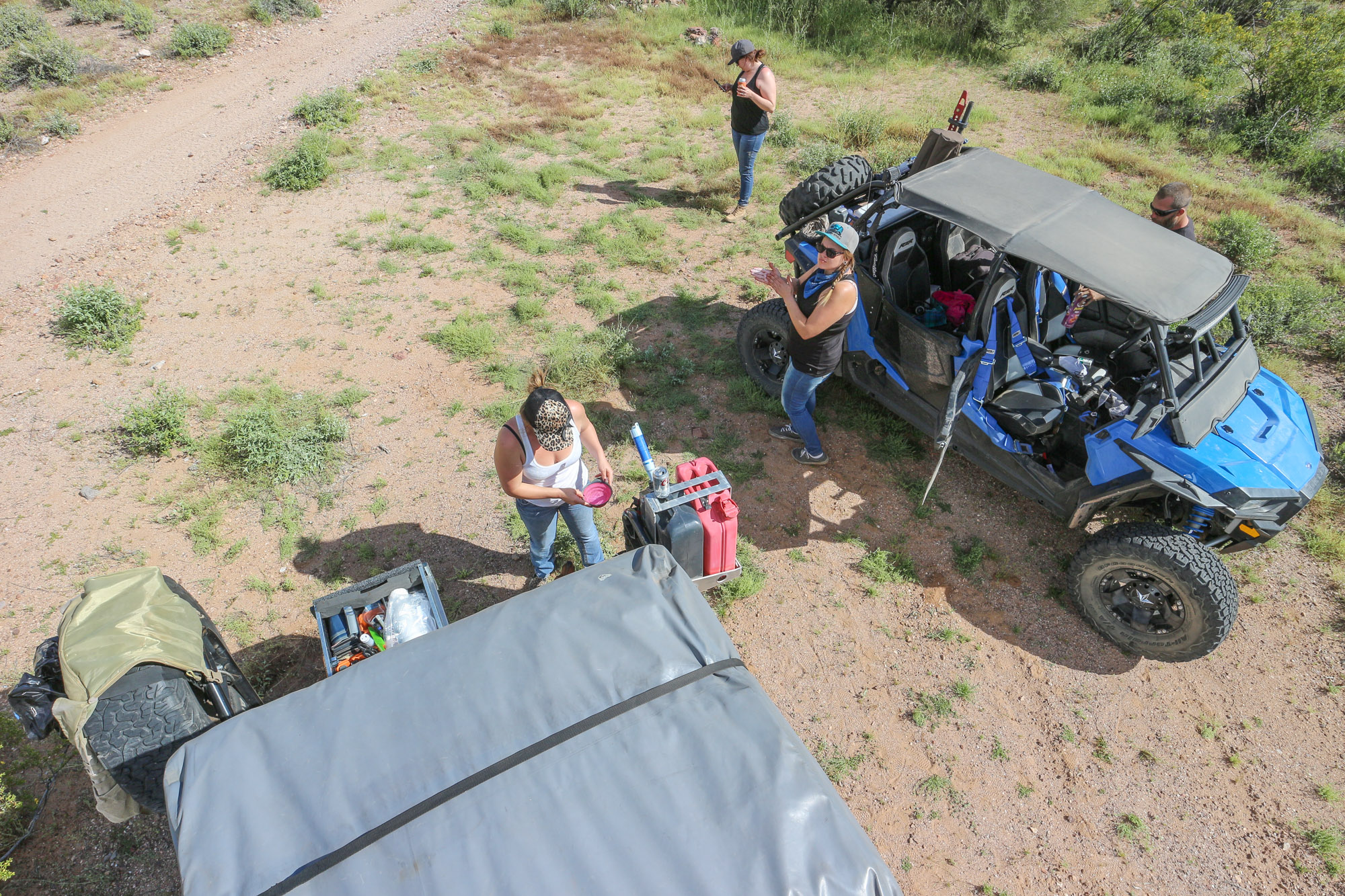
In the morning, business as usual. It can be hard to start the day no matter how eager you are about what’s to come without a solid breakfast and a bit of go juice from the french press. Candace, as usual, whipped up a solid serving of both while the rest of us started cleaning and packing up.
Before long, it was time to………..
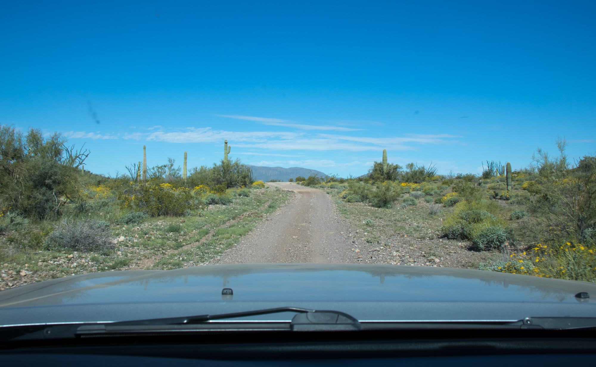
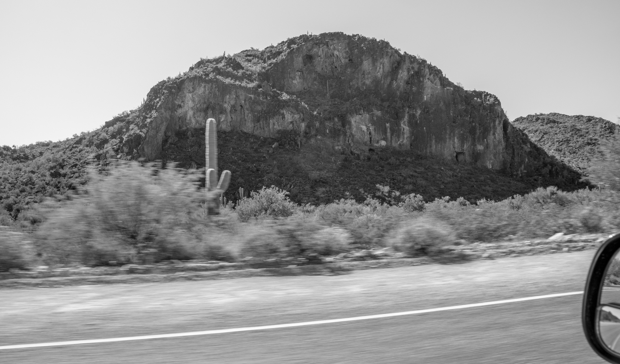
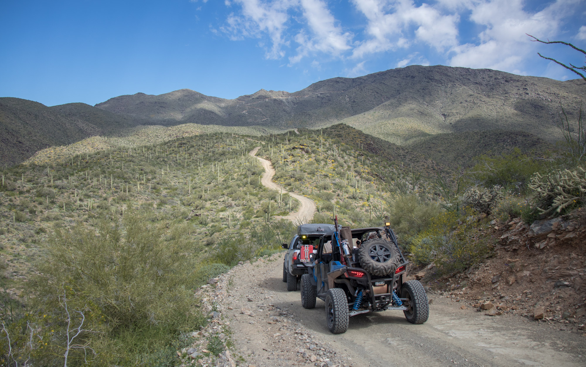
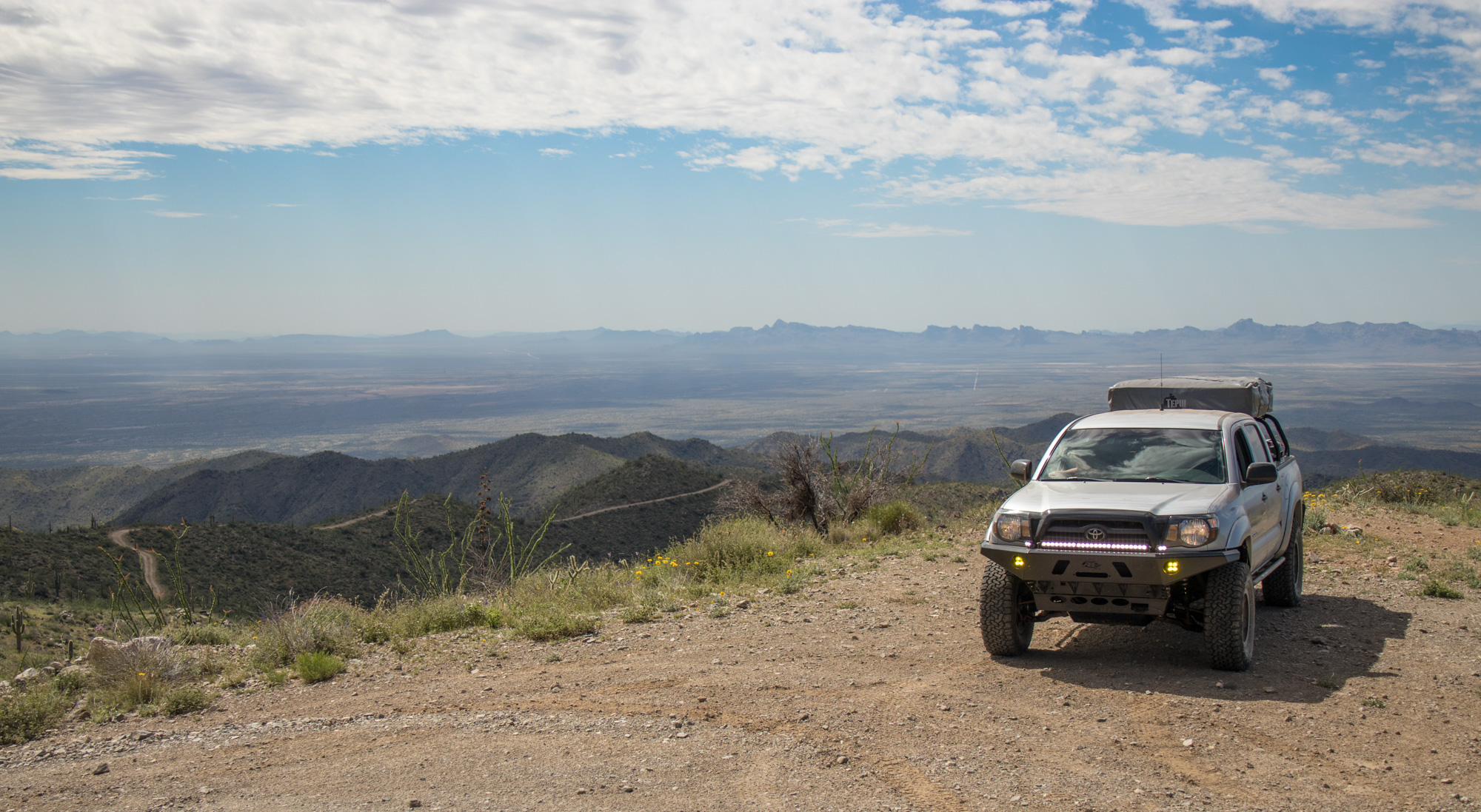
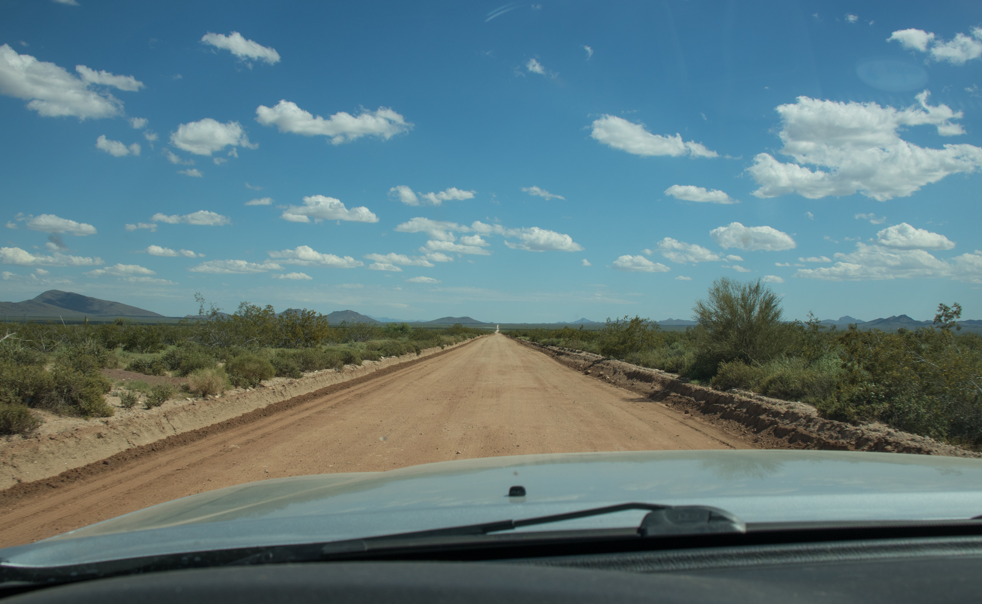
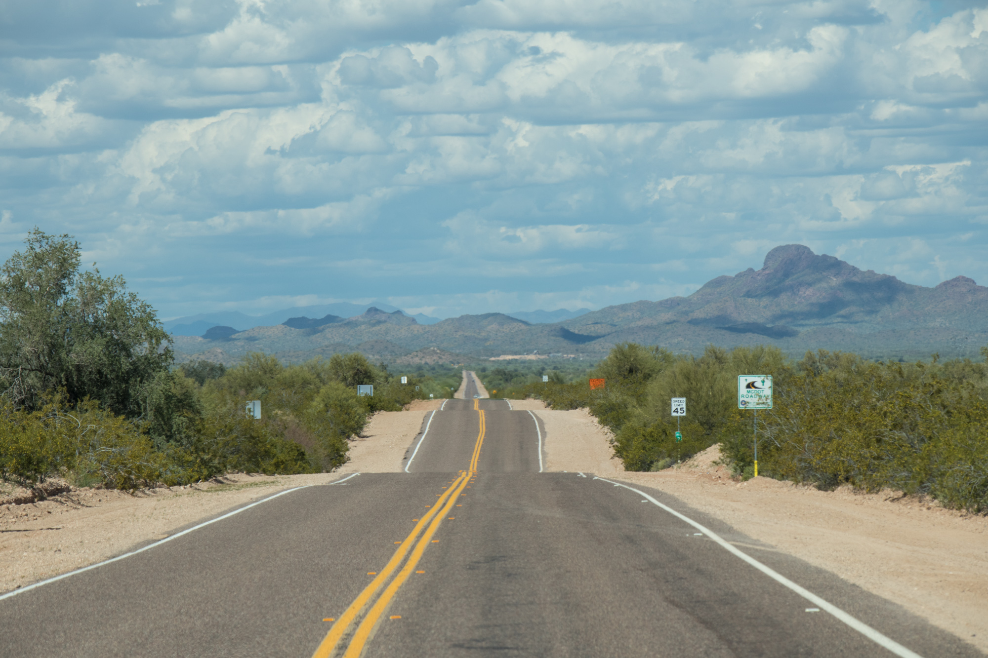
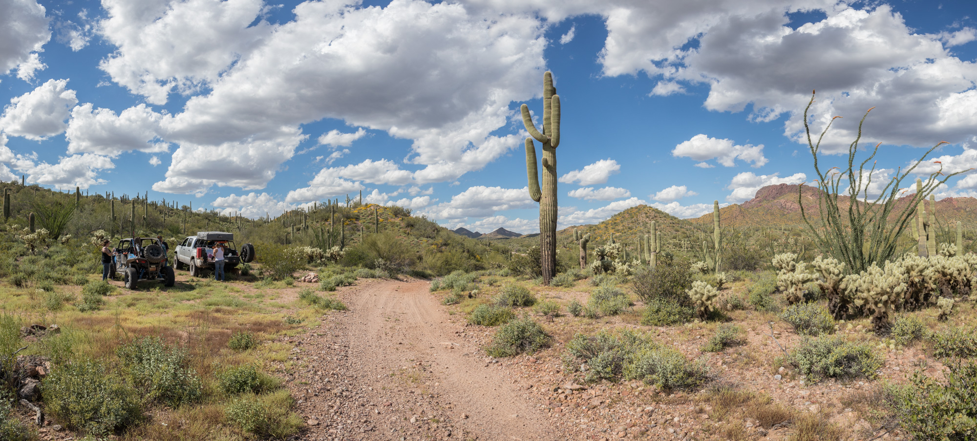
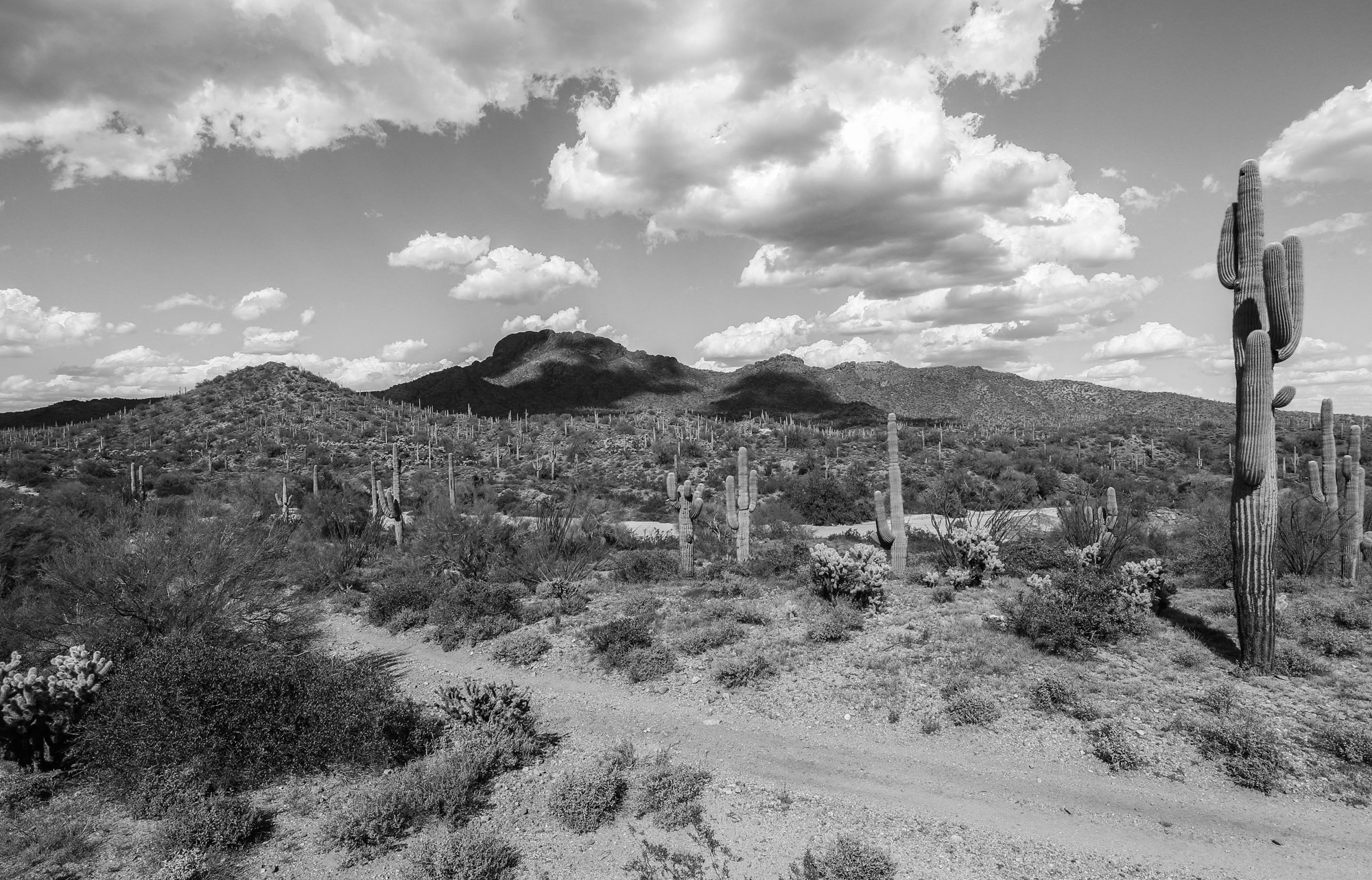
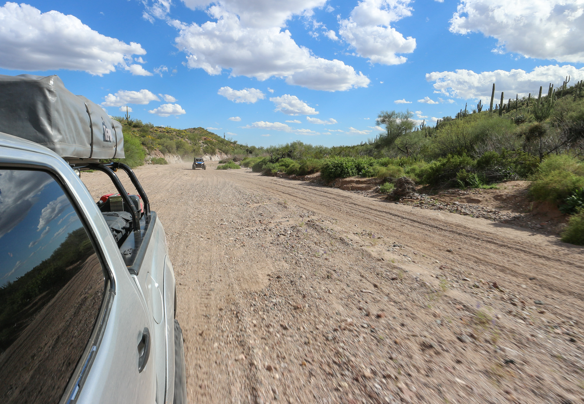
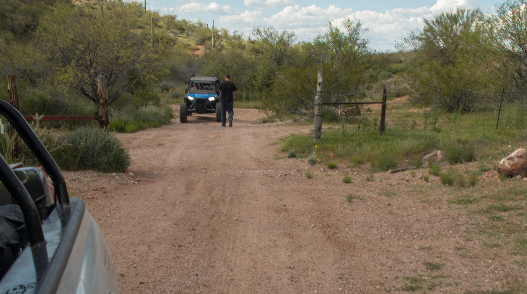
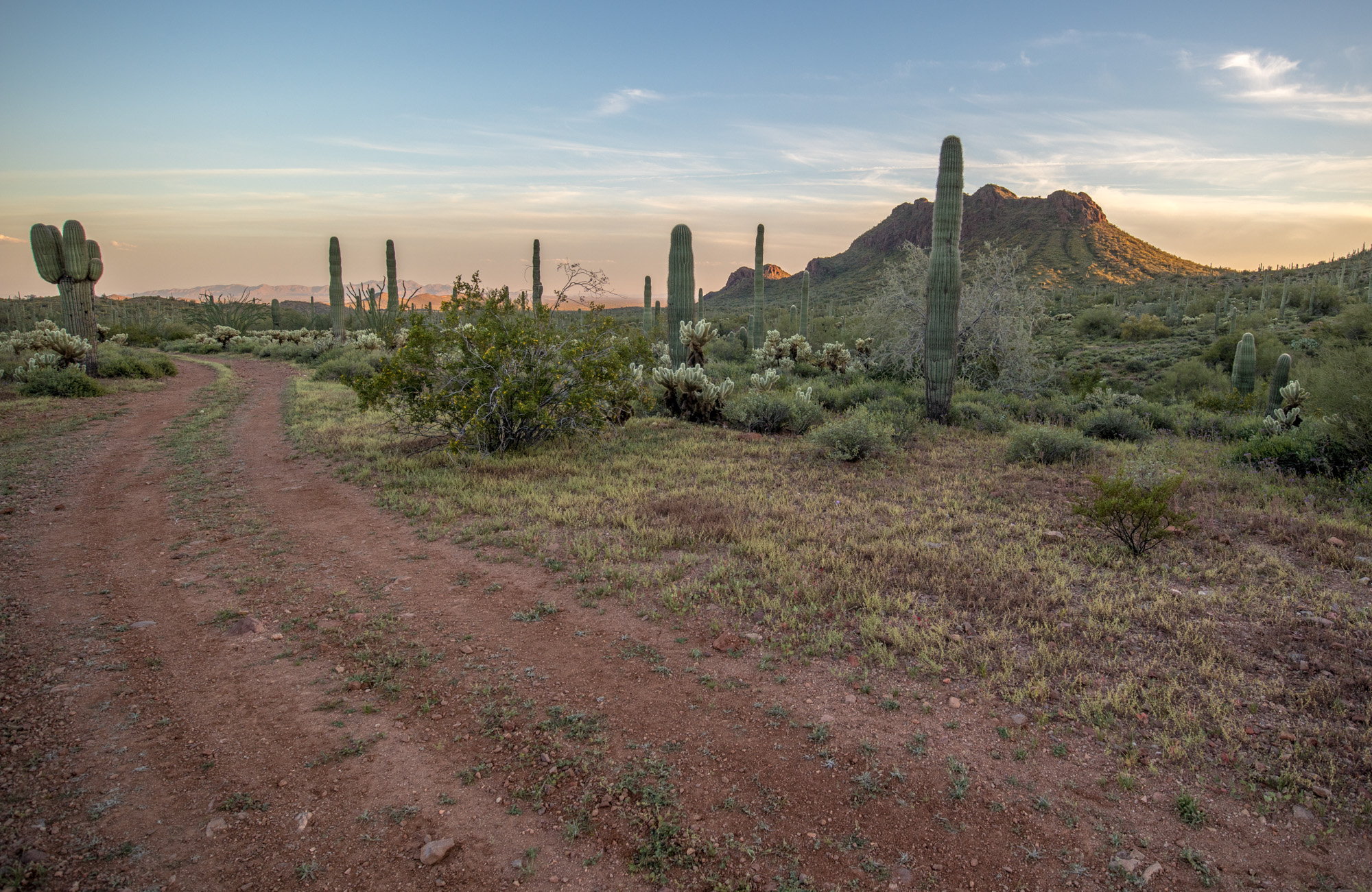
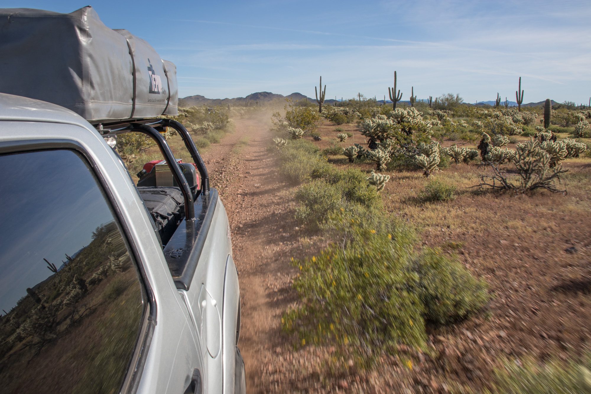
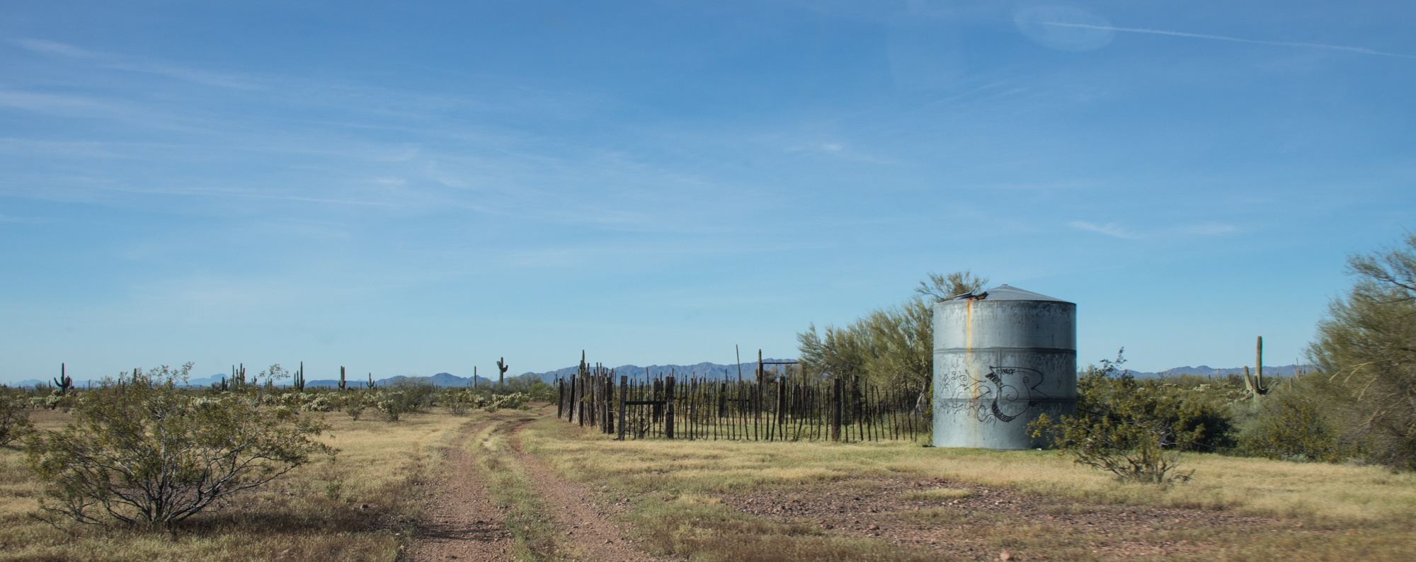
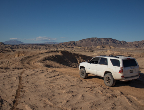
We left behind the Black Rock Mine via Little Horn Rd and made our way to Eagle Eye Rd where we’d have to take a bit of pavement to the Harquahala Back Country Byway.
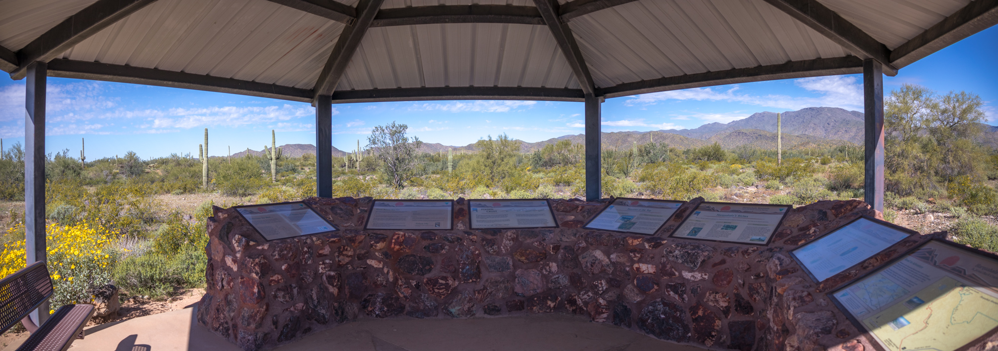
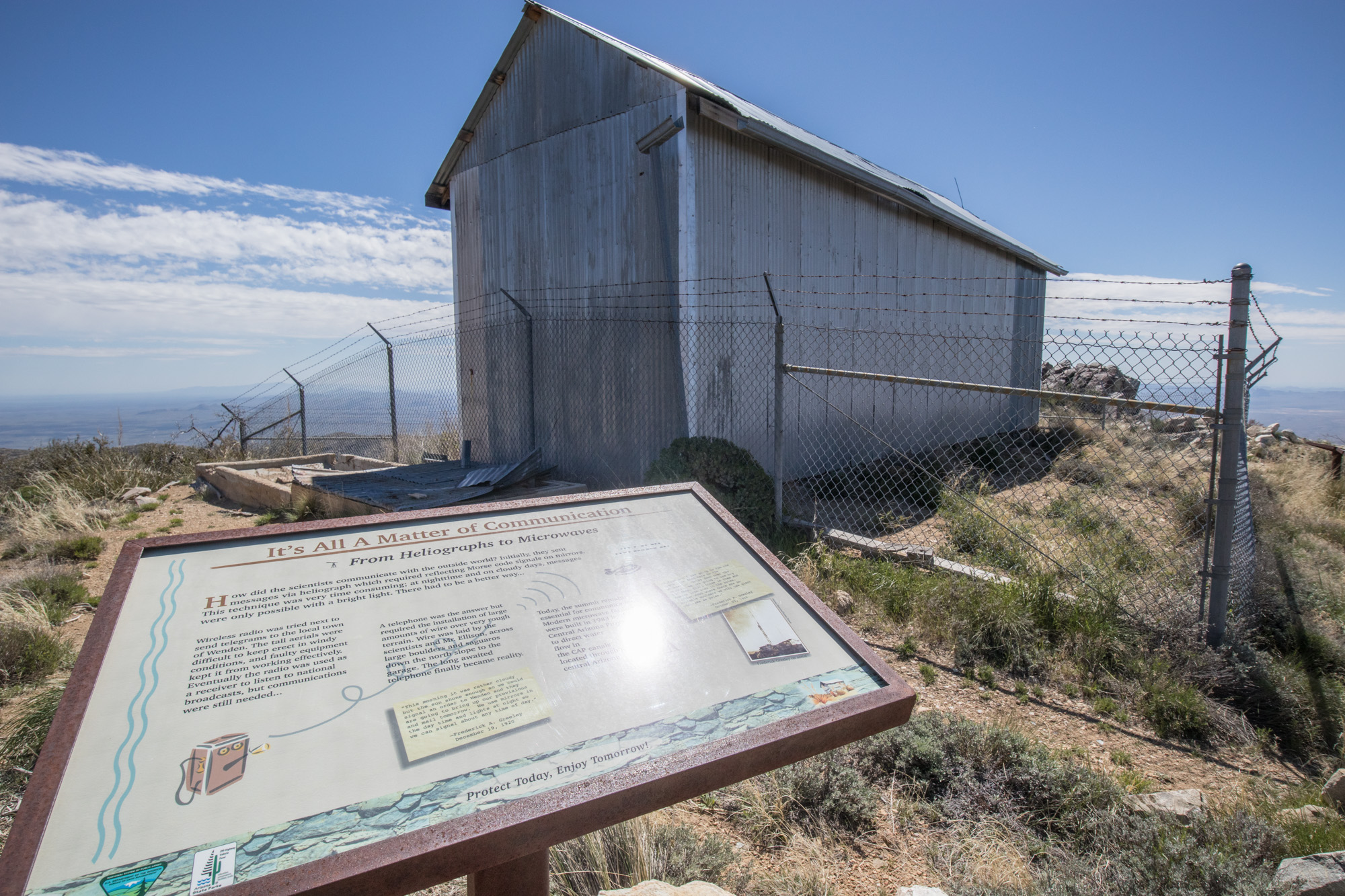
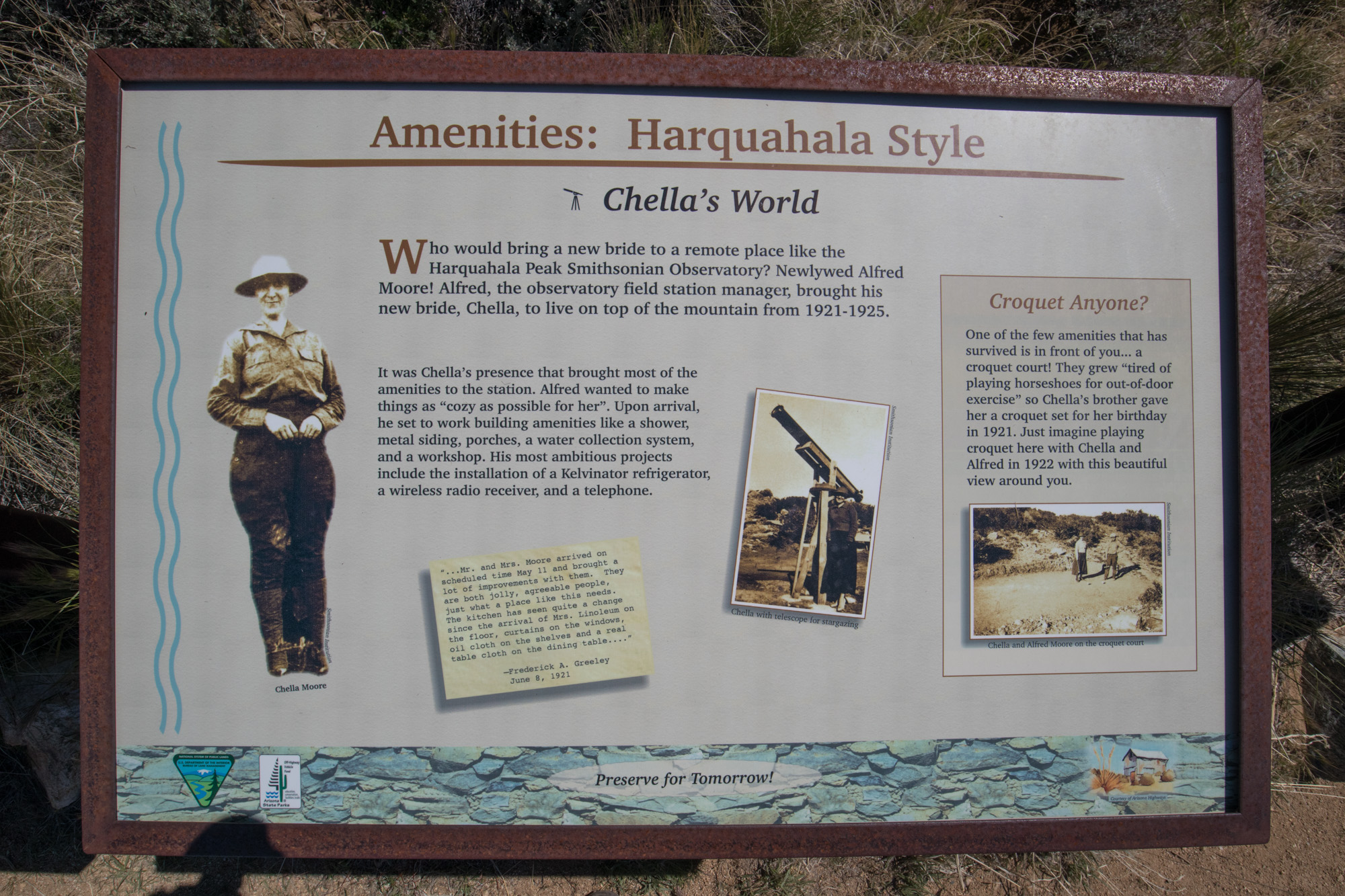
Made a quick stop at the facilities, a maintained pit toilet and fantastic informative center. I’ve always found it great when public agencies provide kiosks like this, it can really help make you have a better understanding and respect for the areas your going to be driving through and visiting.
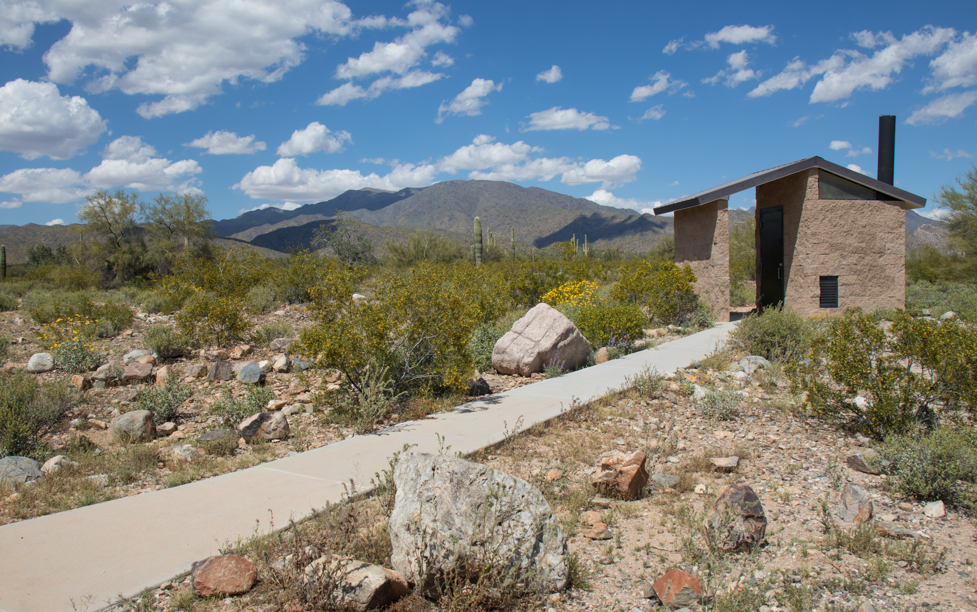
They should include a optional window so you can do your business while taking in the view…
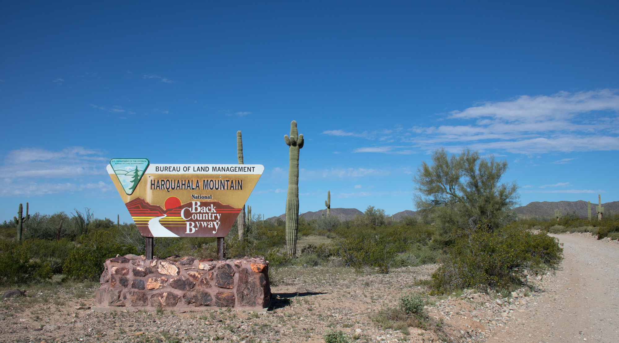
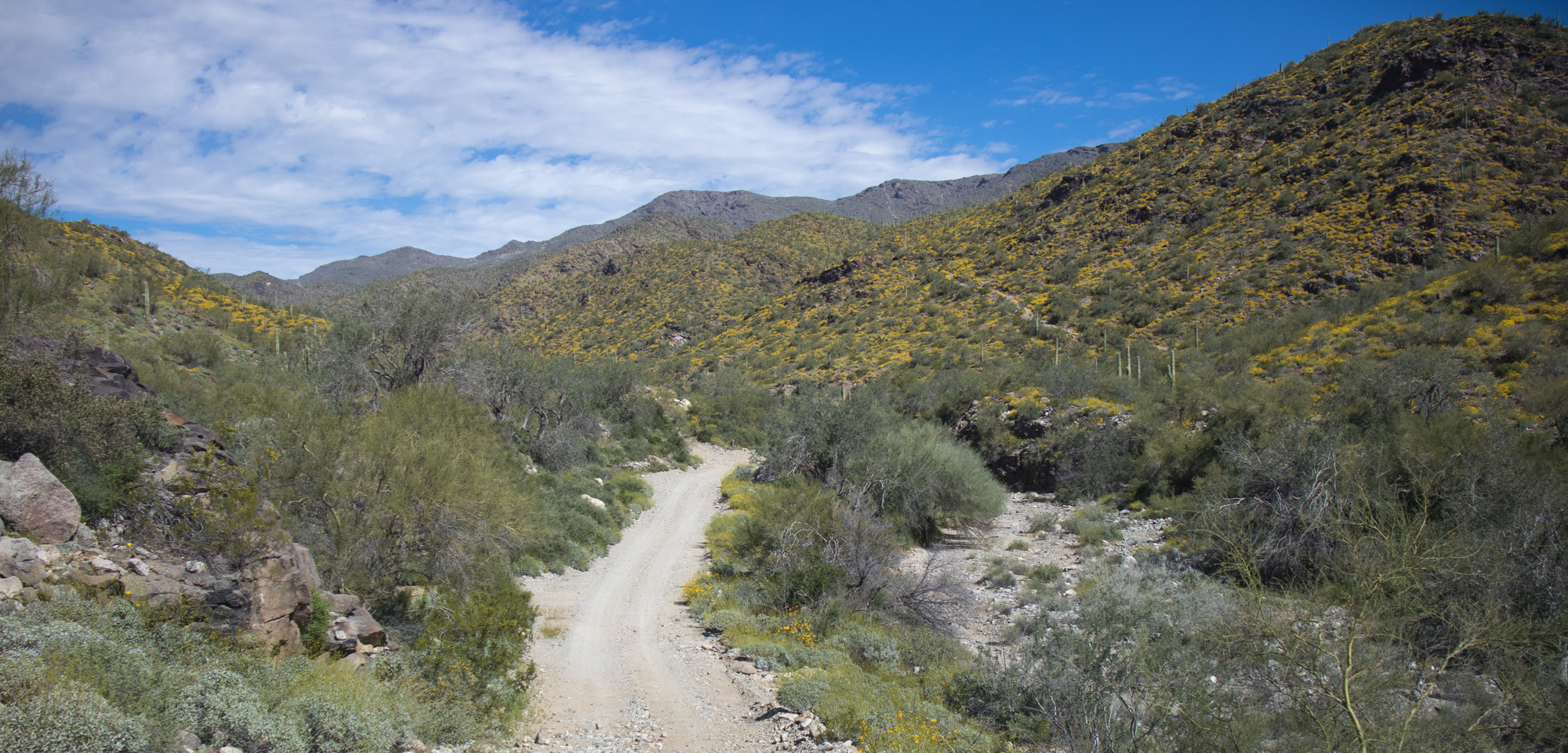
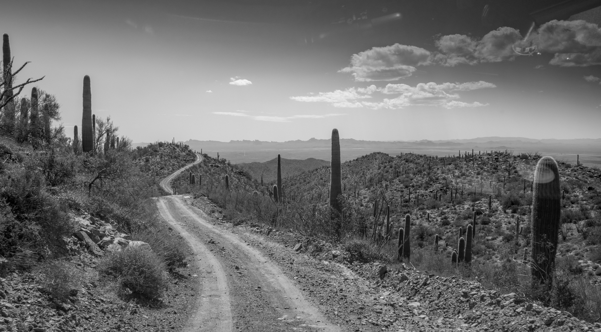
Road to Adventure
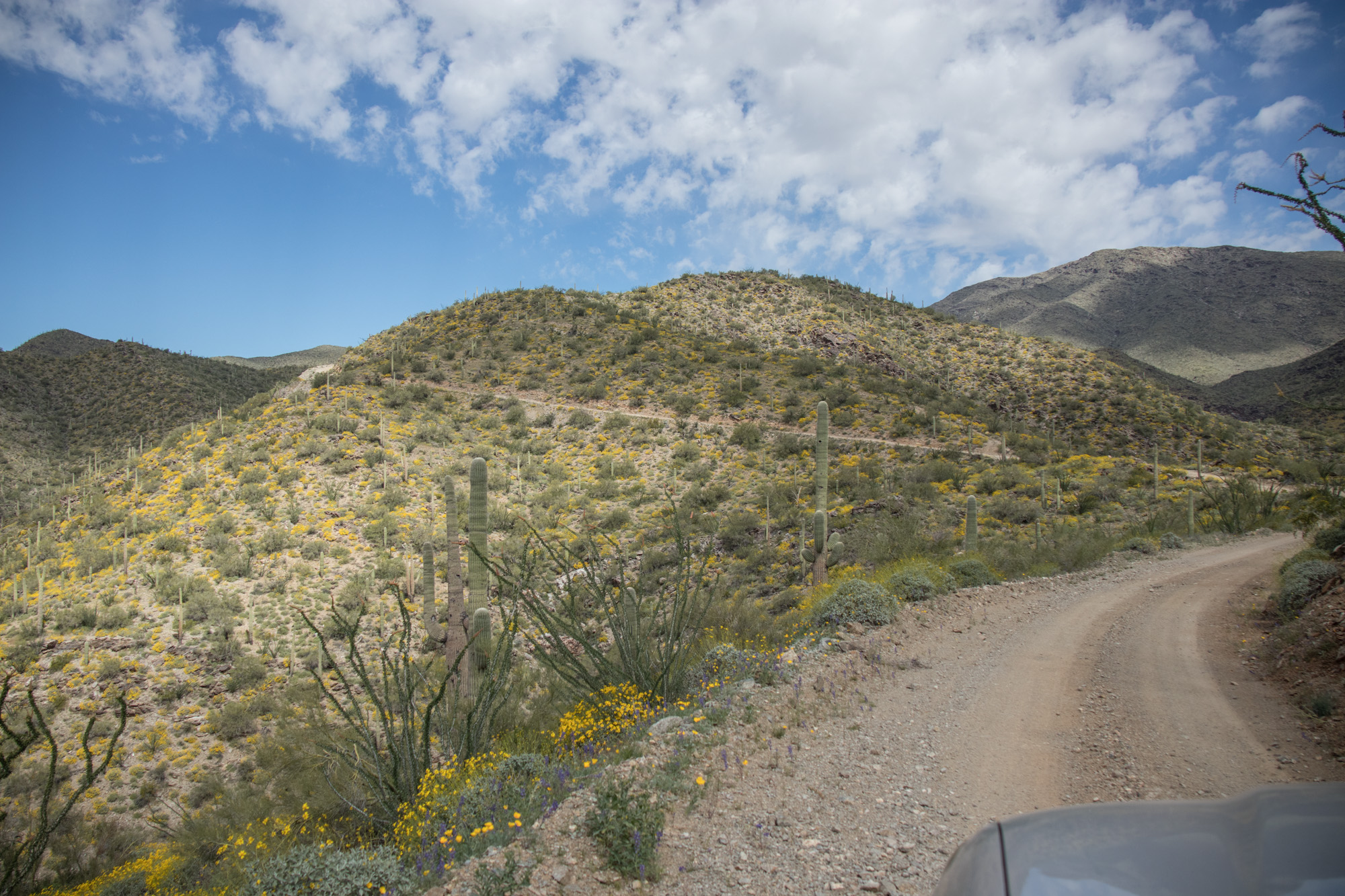
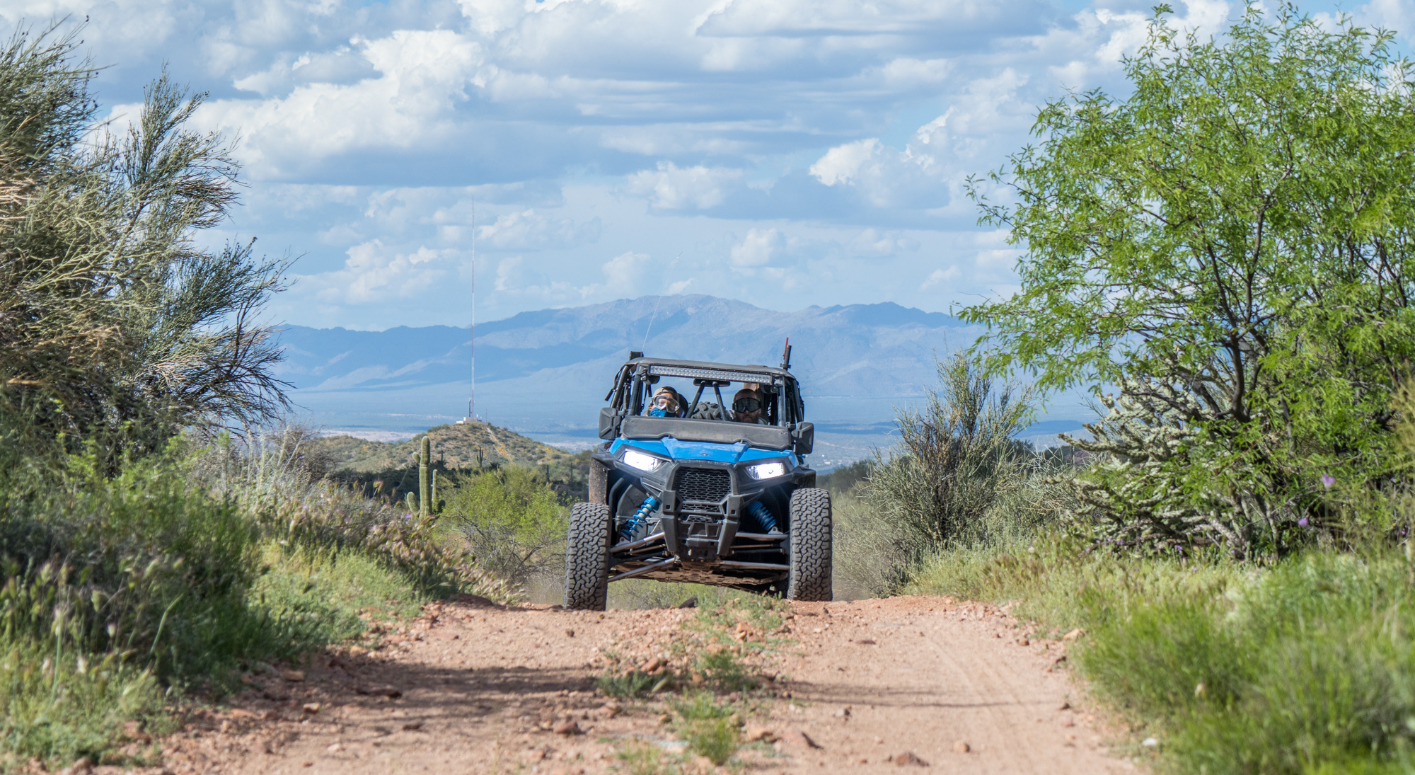
Welcome to the Harquahala Mountain Back Country Byway! Harquahala Mountain is the highest point in southwestern Arizona at 5,681 feet. This 10.5 mile byway was constructed for mining access over a span of 70 years and reached the summit in 1981.
The name Harquahala comes from the Native American words “Aha qua hala”, meaning “water there is, high up”, due to the numerous springs that were present at the higher elevations.
If you’re curious about this area and would like to read all of the information provided, I have pictures posted on the ExploreDesert Flickr account.
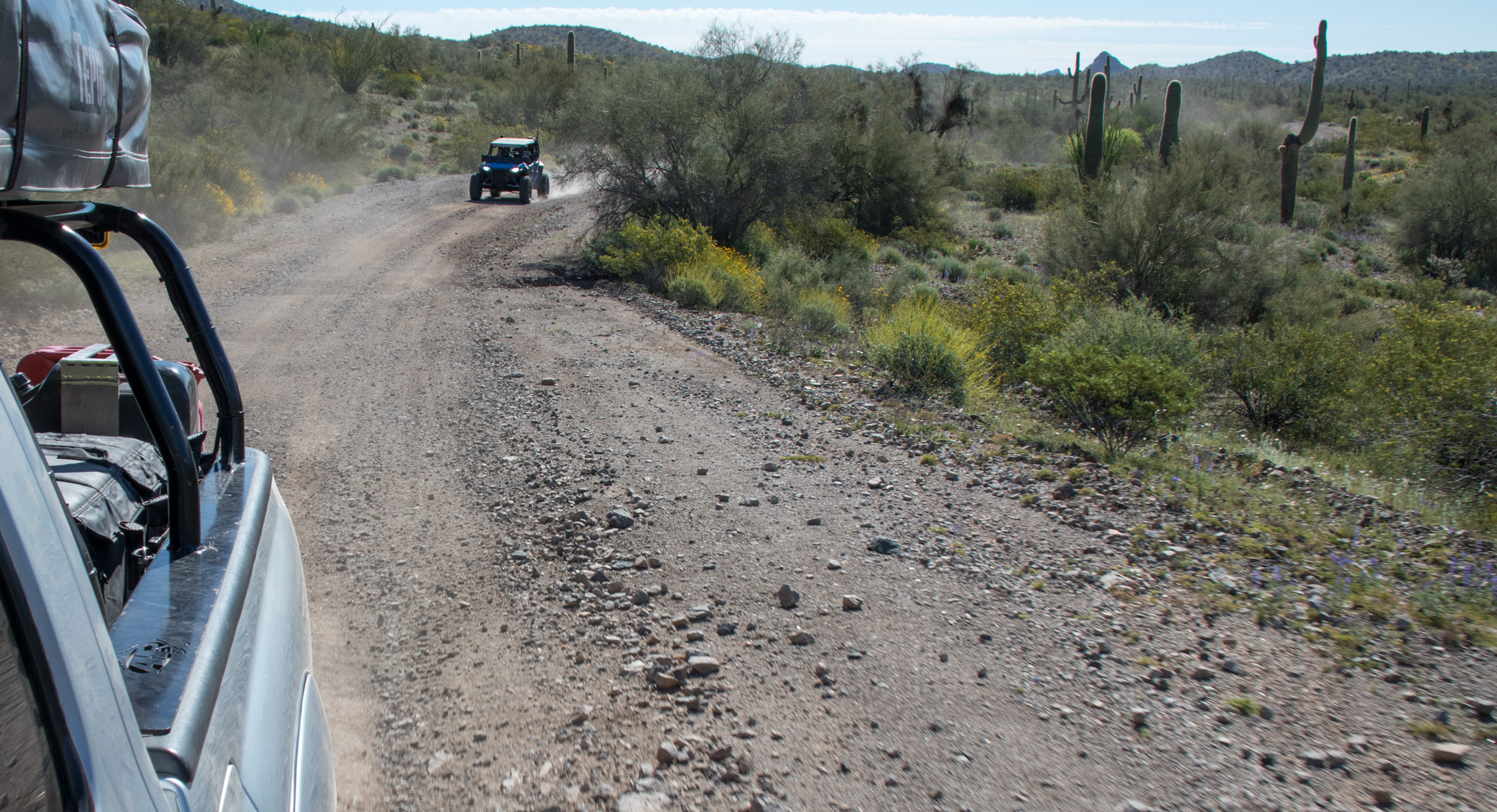
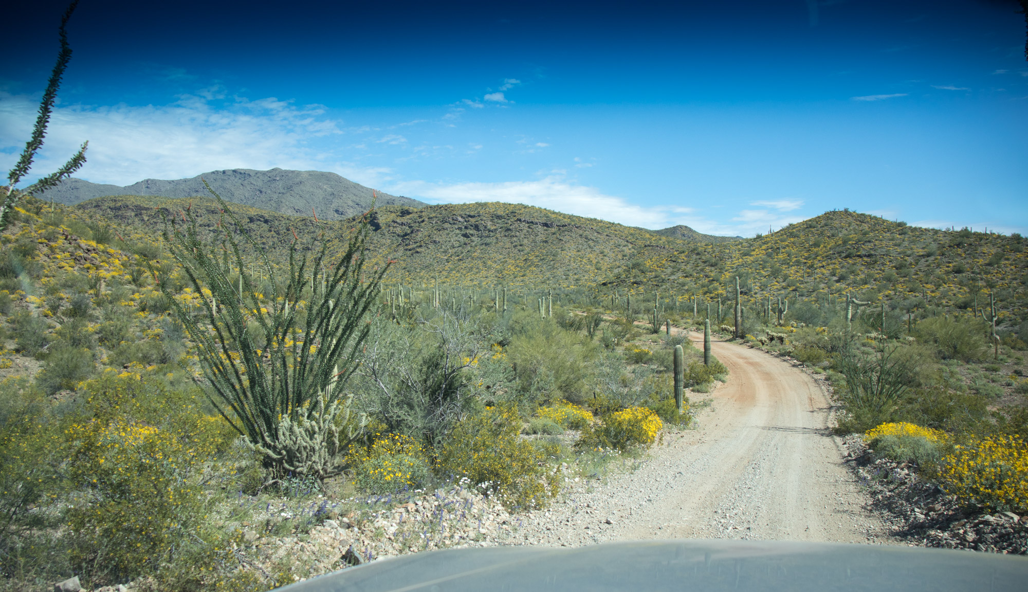
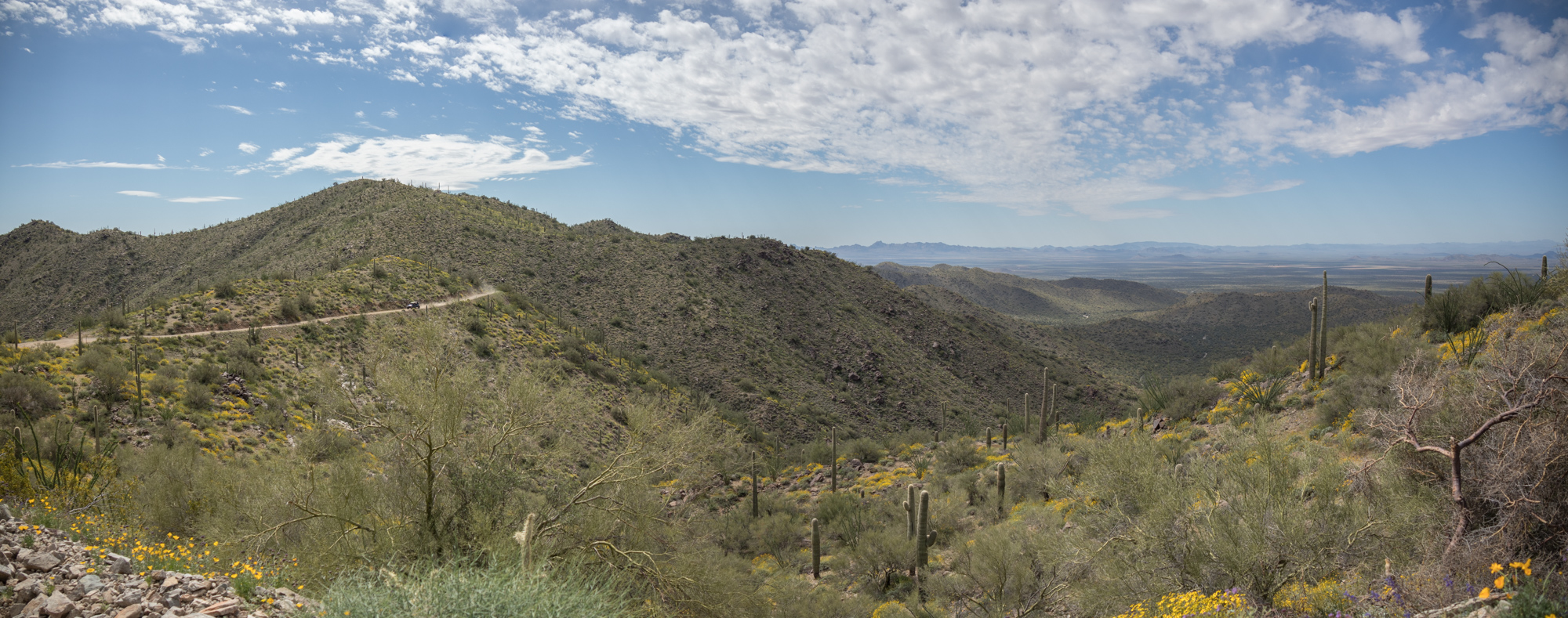
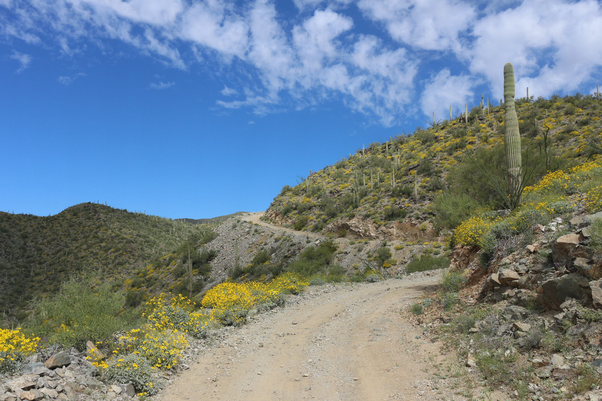
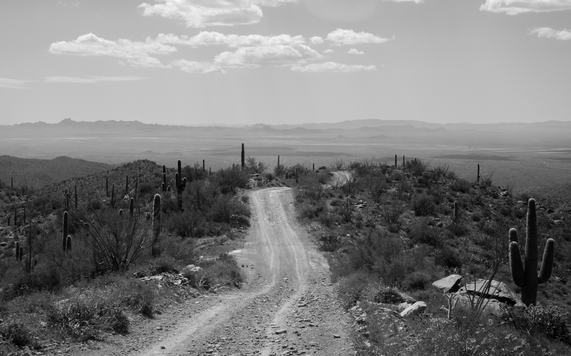
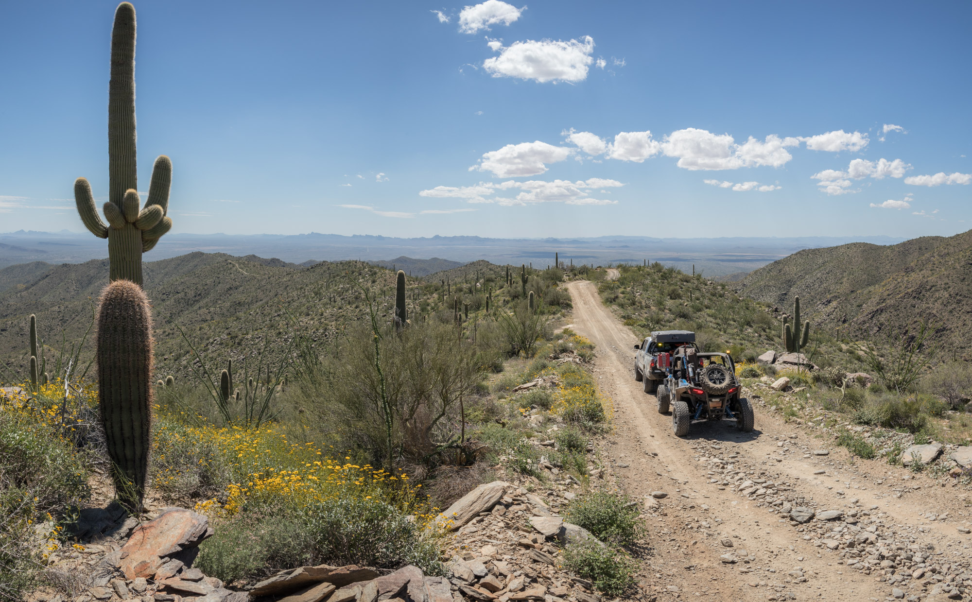
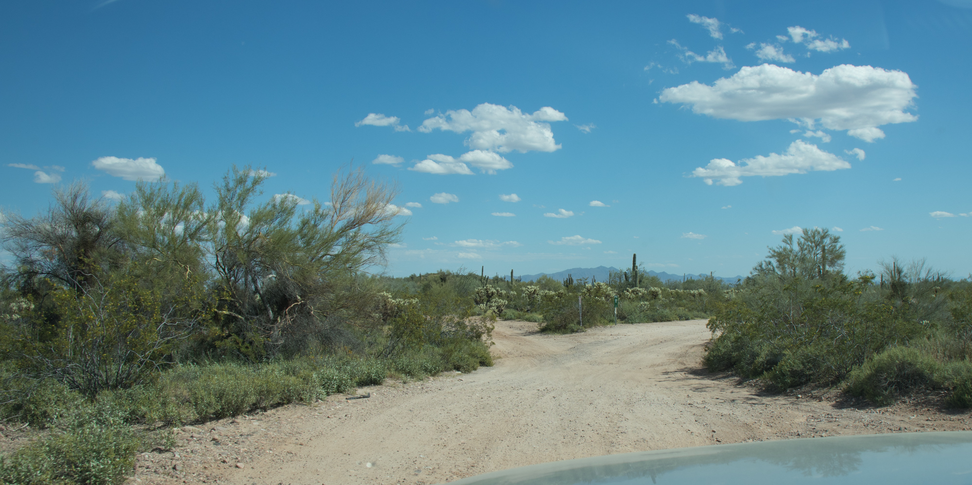
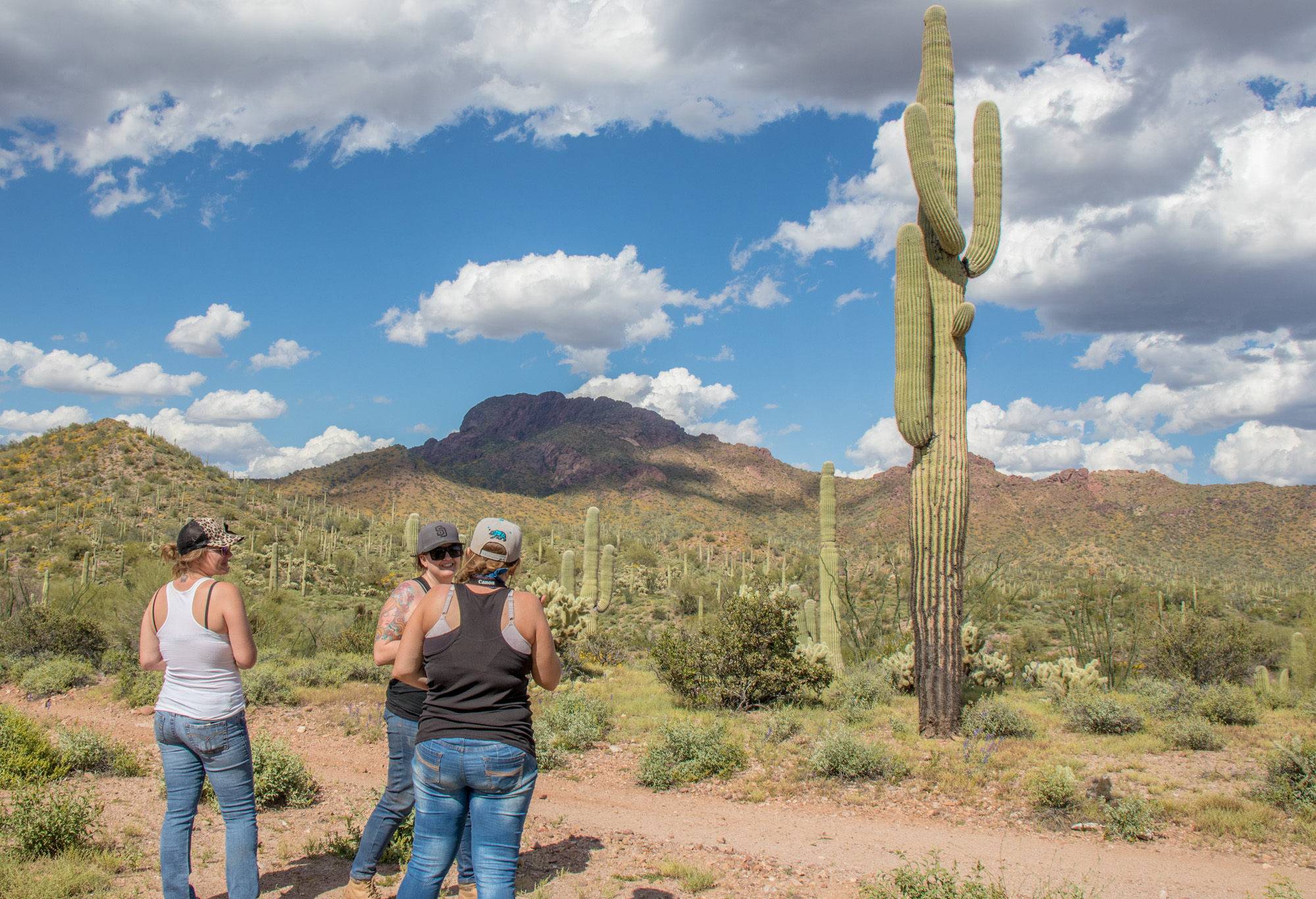
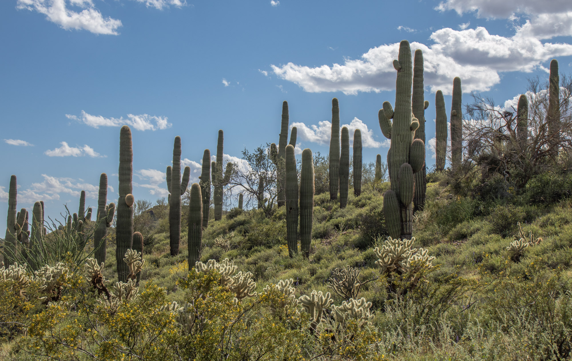
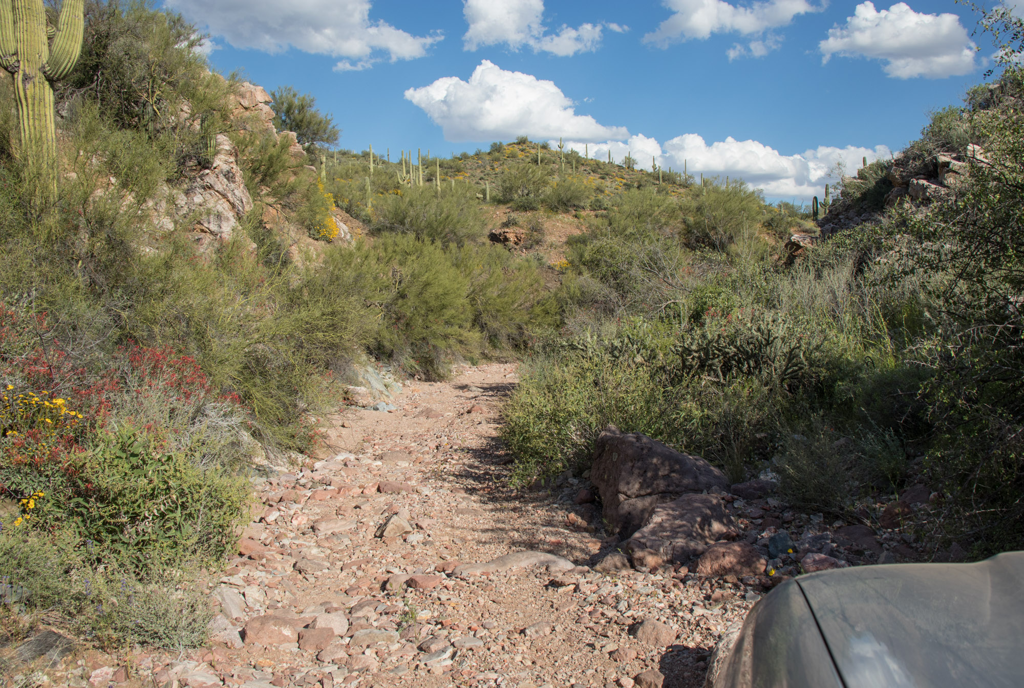
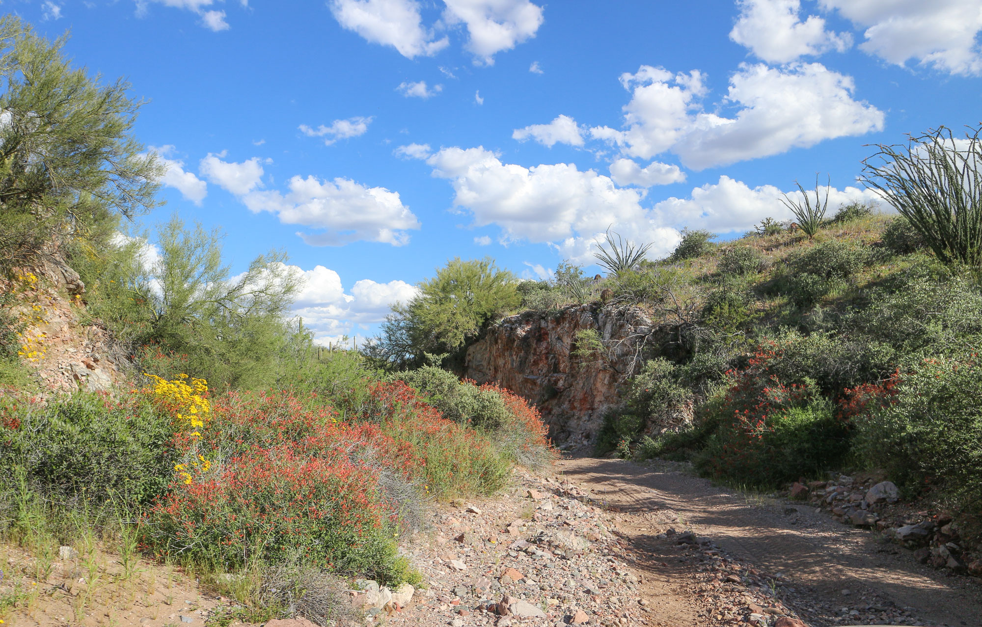
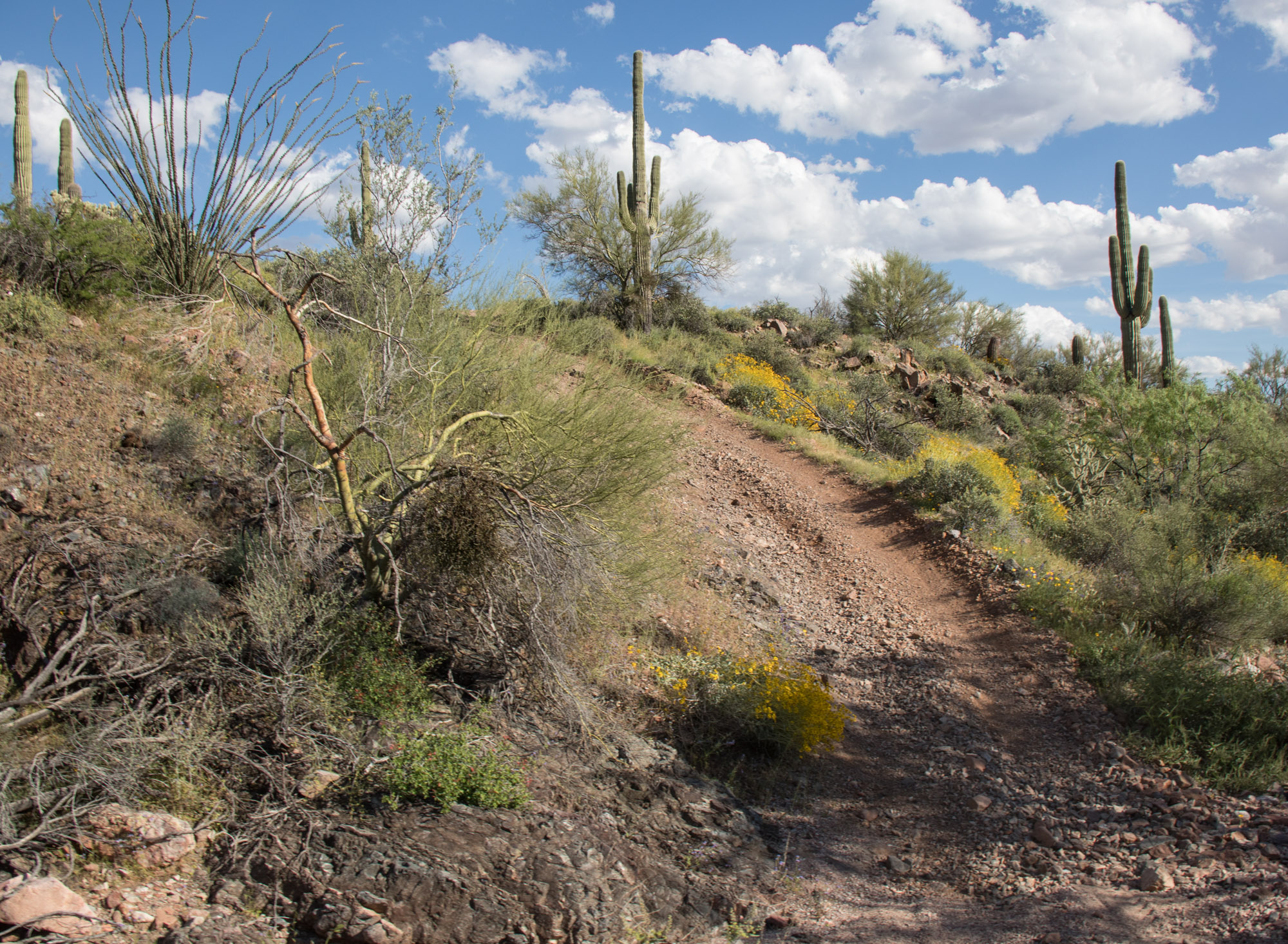
And we were off to the top. We picked the perfect weekend for this trip as springs bloom (super bloom! super bloom!! super bloom!!! Anyone else tired of hearing that this season?) made the desert vibrant in color and life.
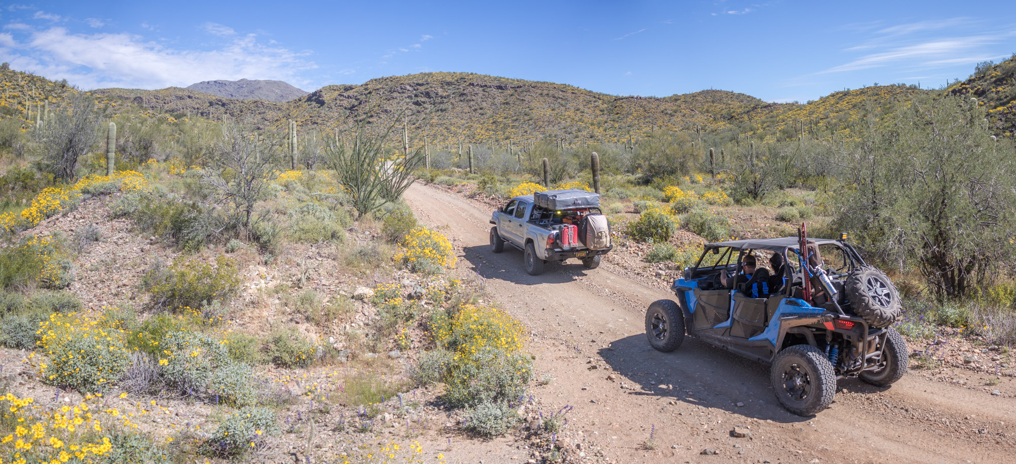
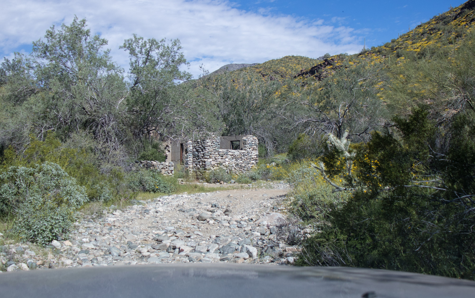
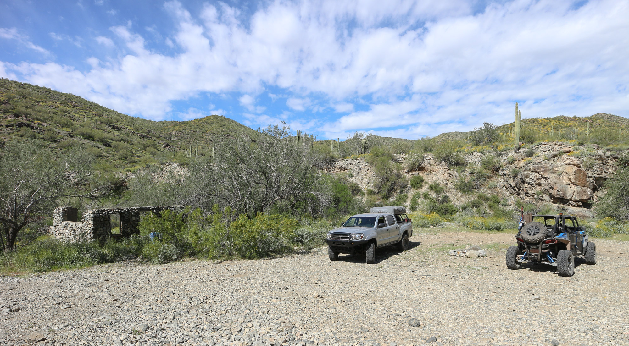
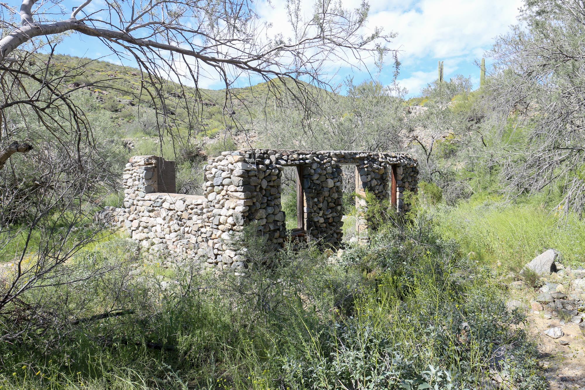
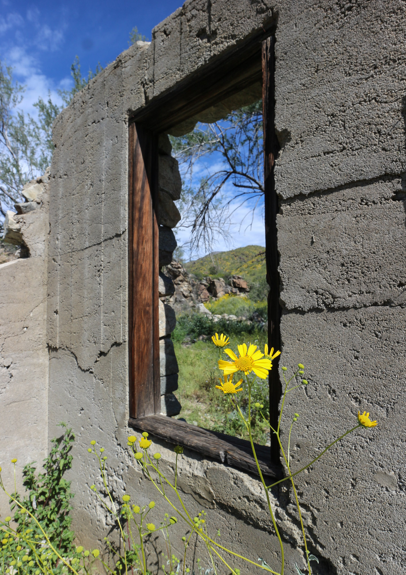
A couple miles in a fork in the road gives the option for a slight detour to the Monterey Mine and the remnants of a old rock structure. We didn’t make it to the mine workings as they were a ways back and appeared to be a narrow and rocky path to get there.
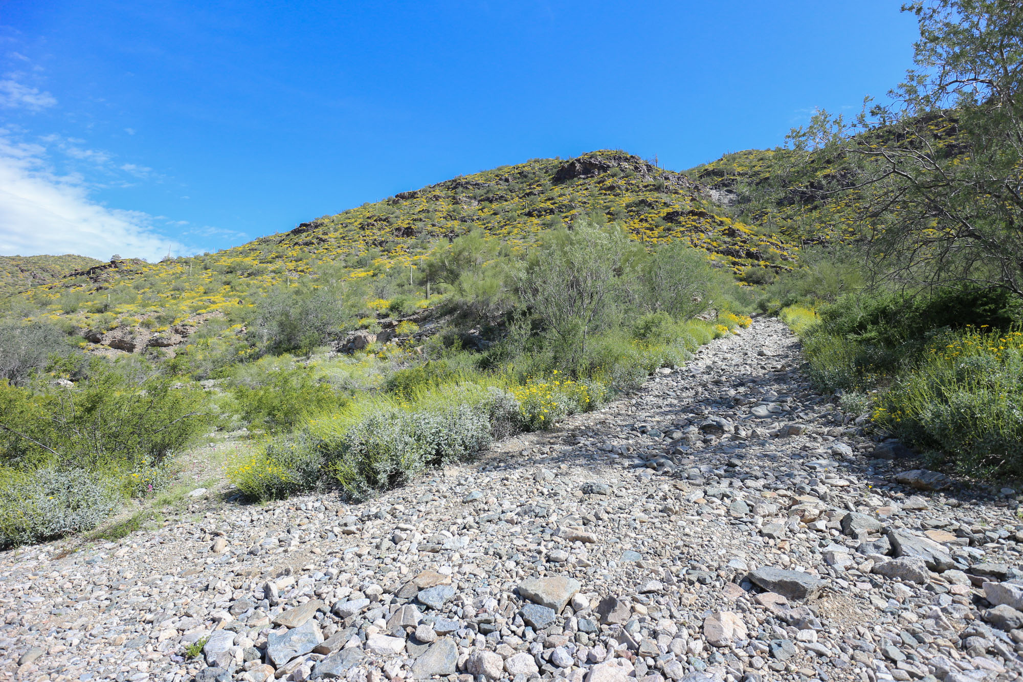
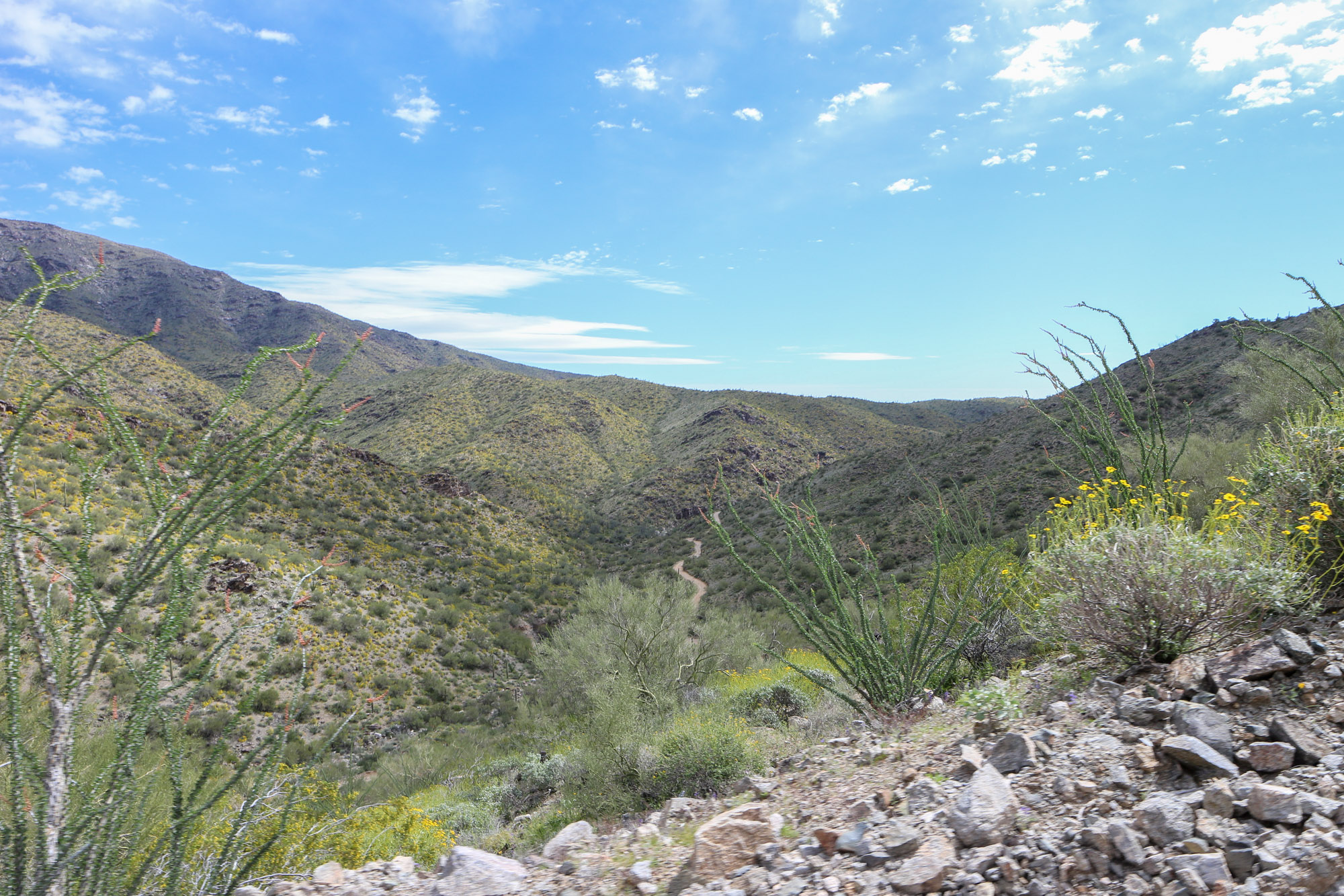
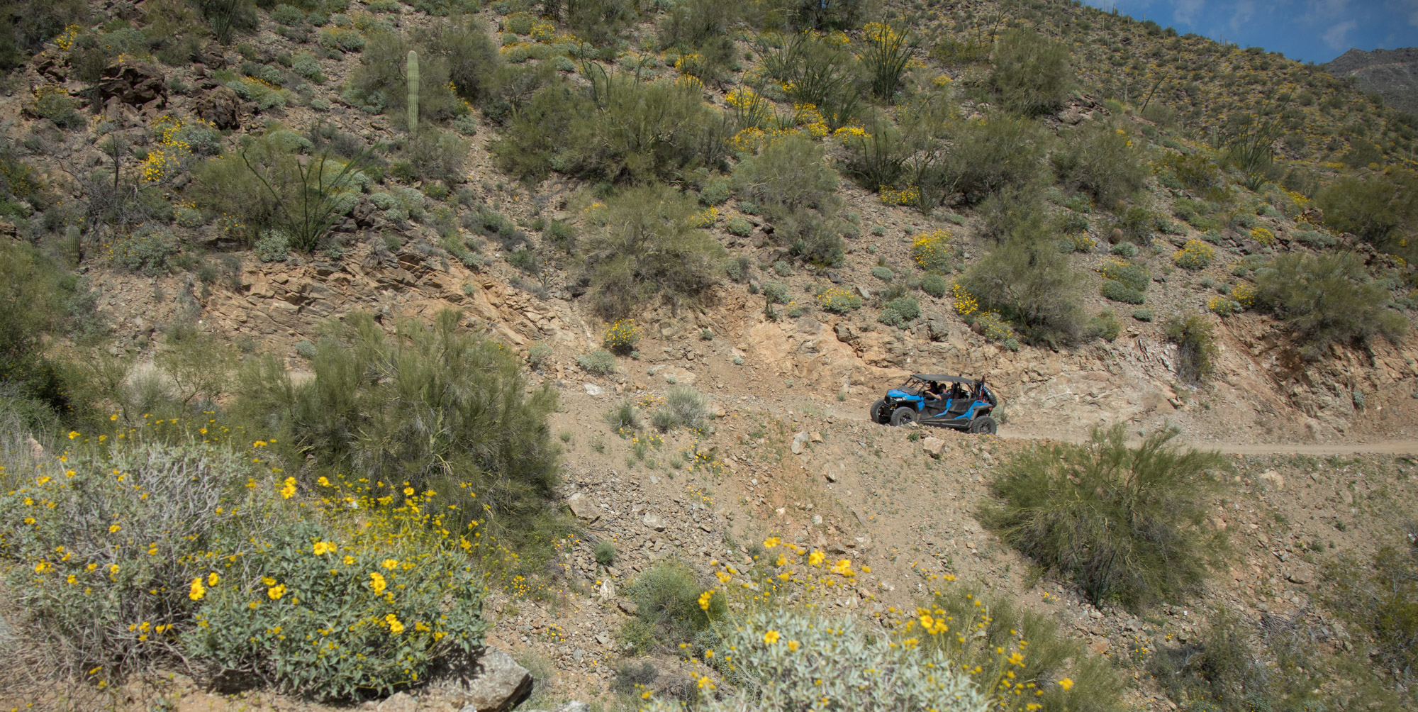
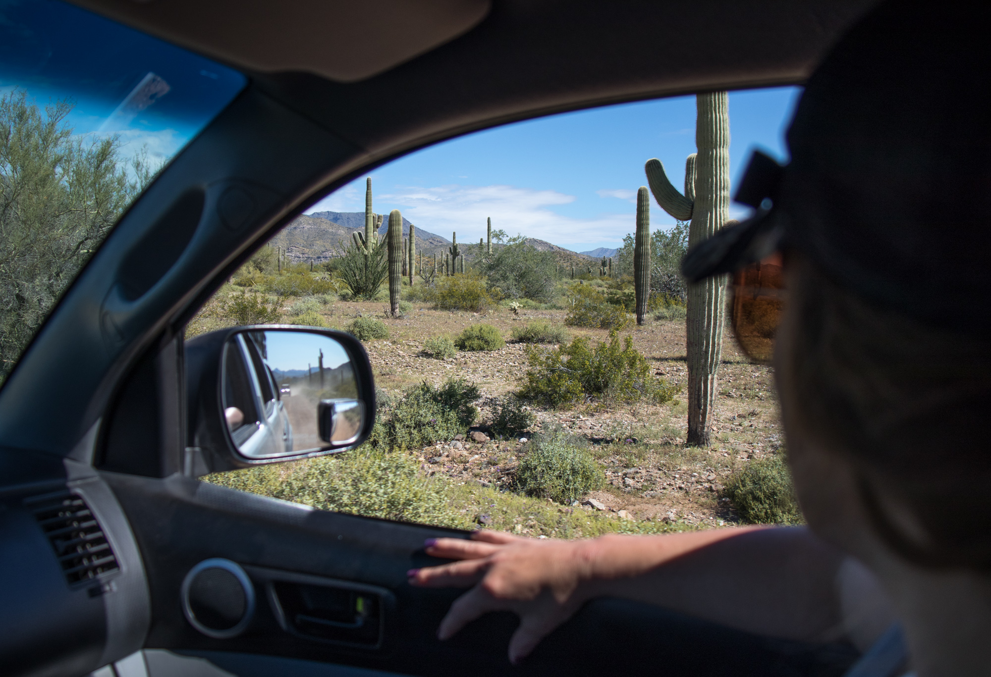
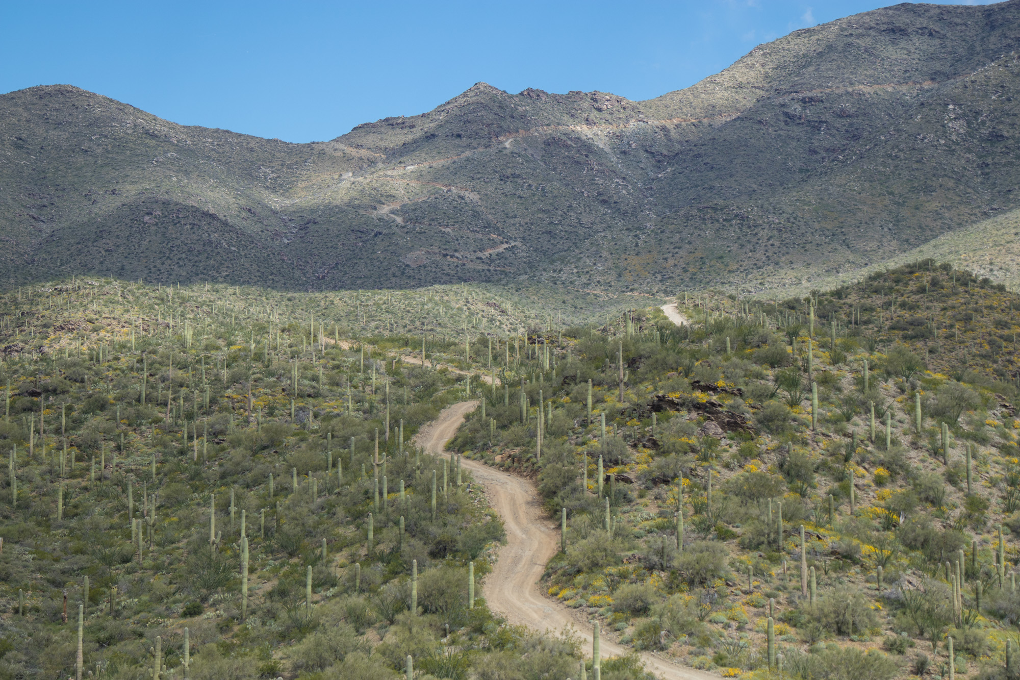
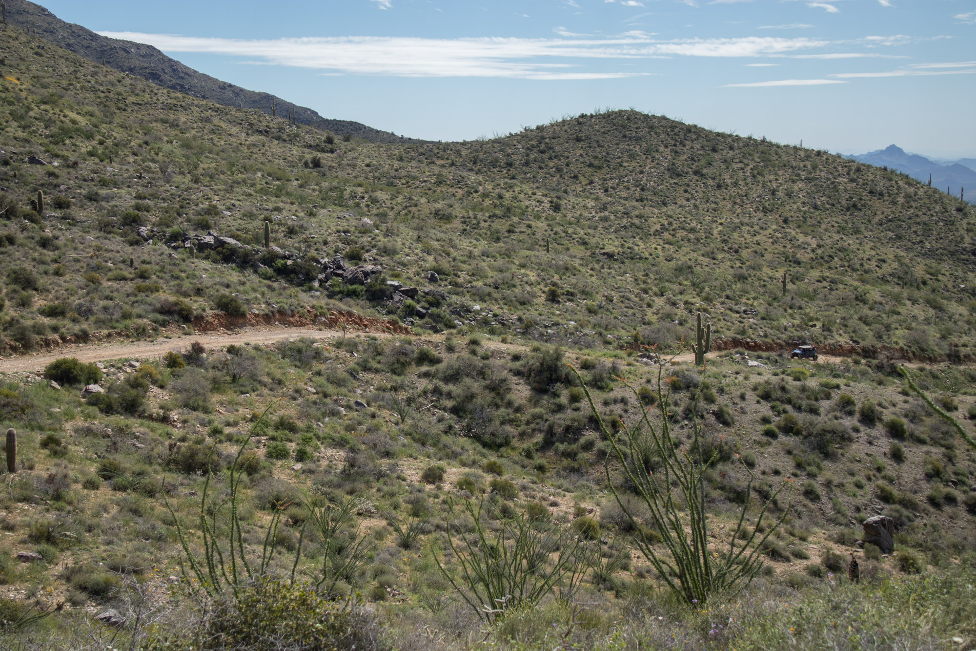
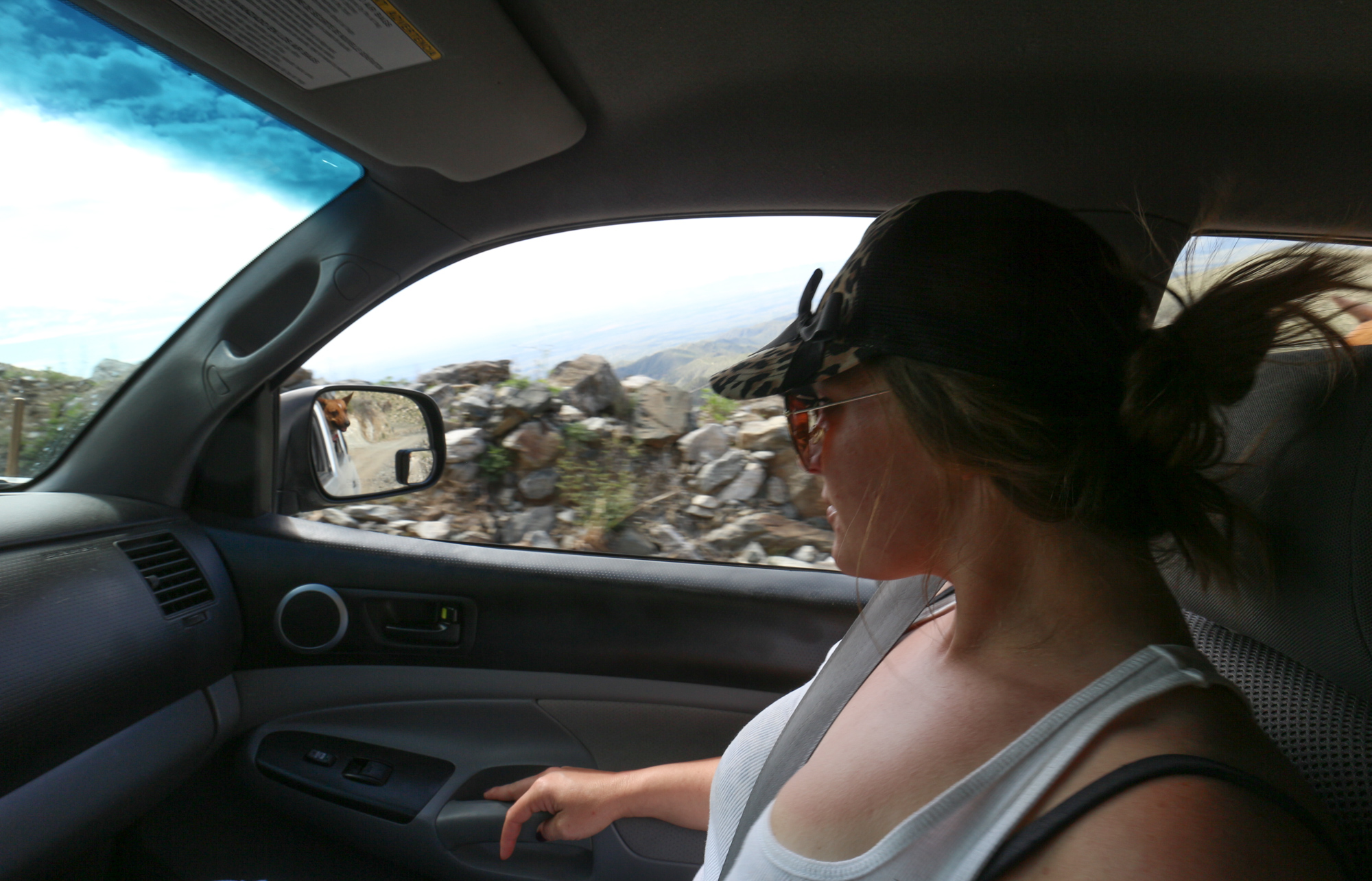
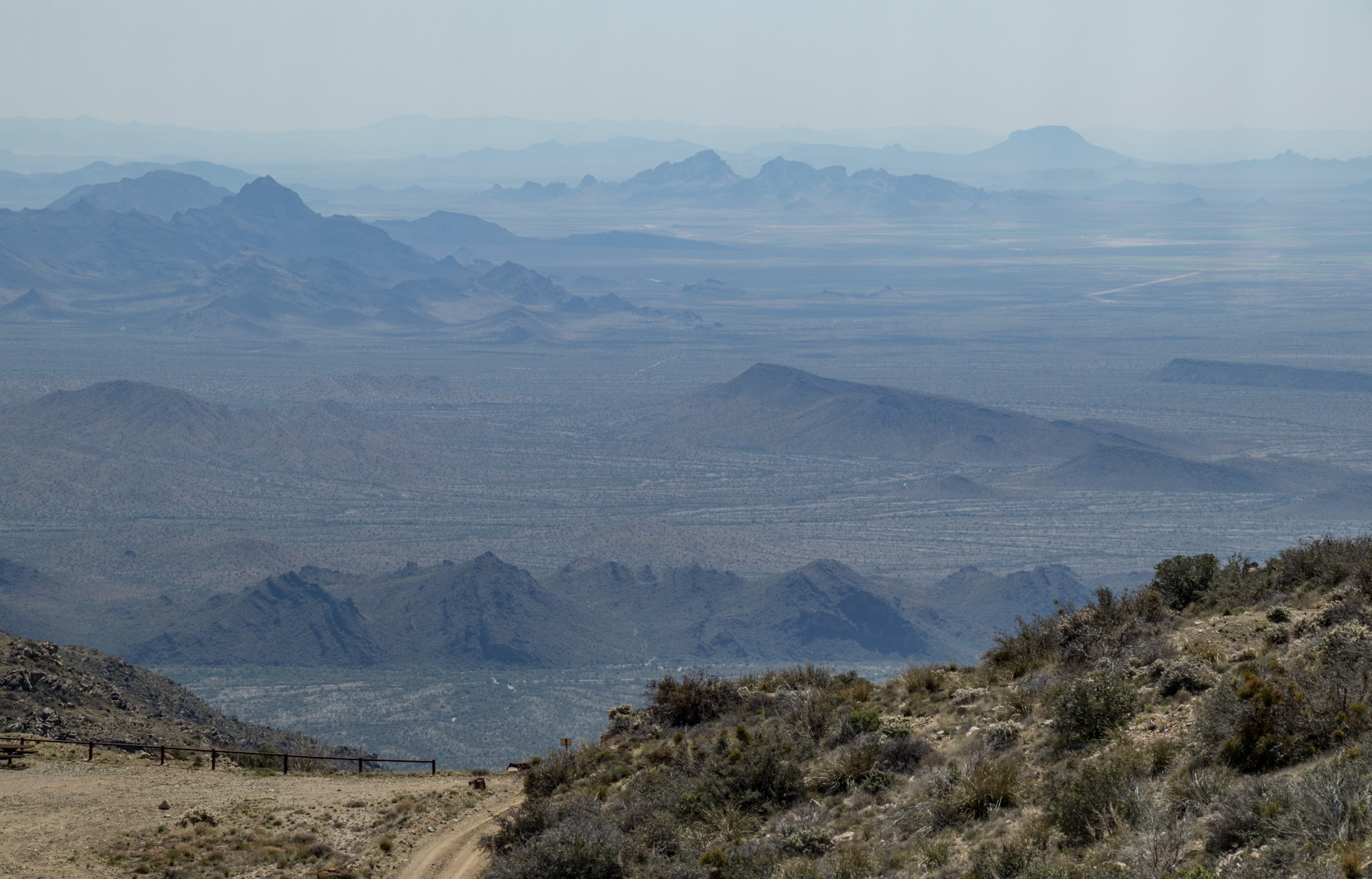
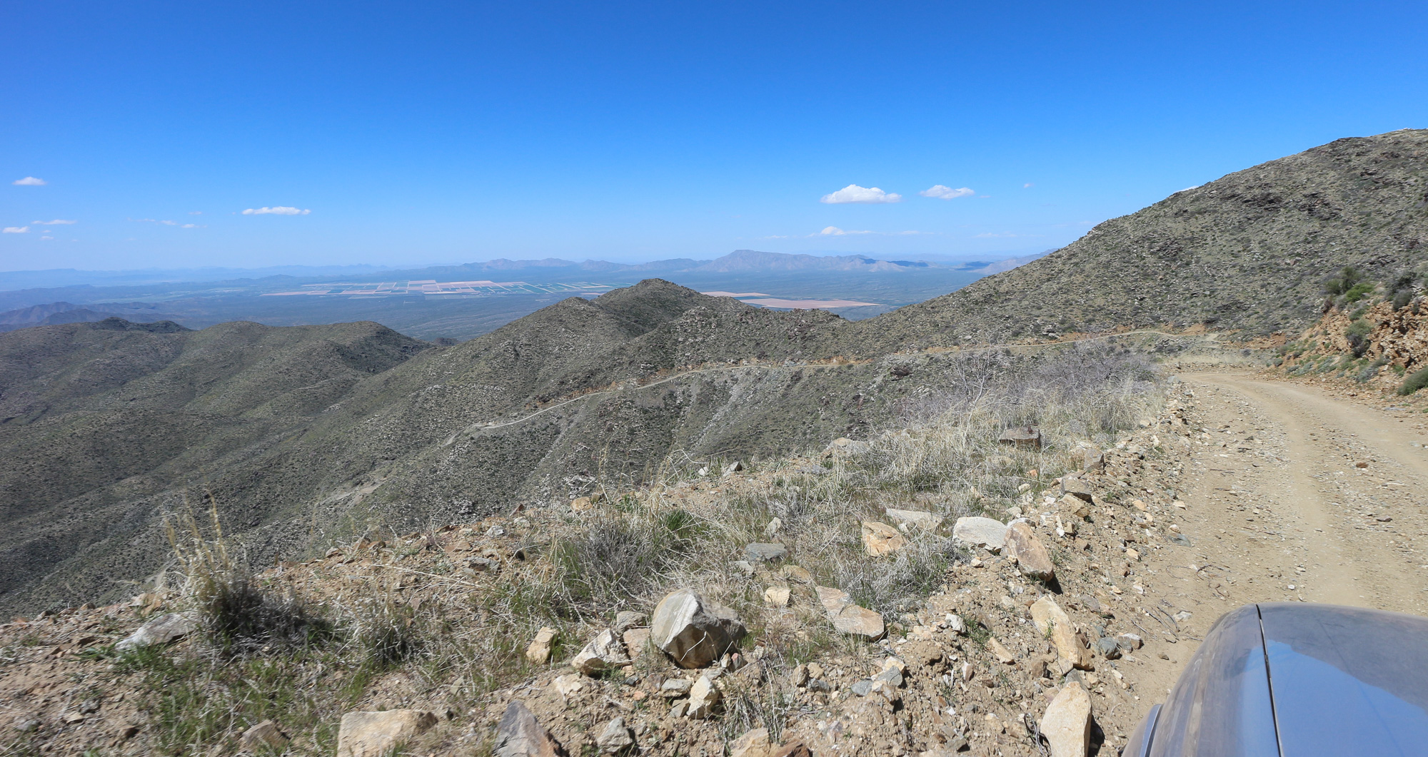
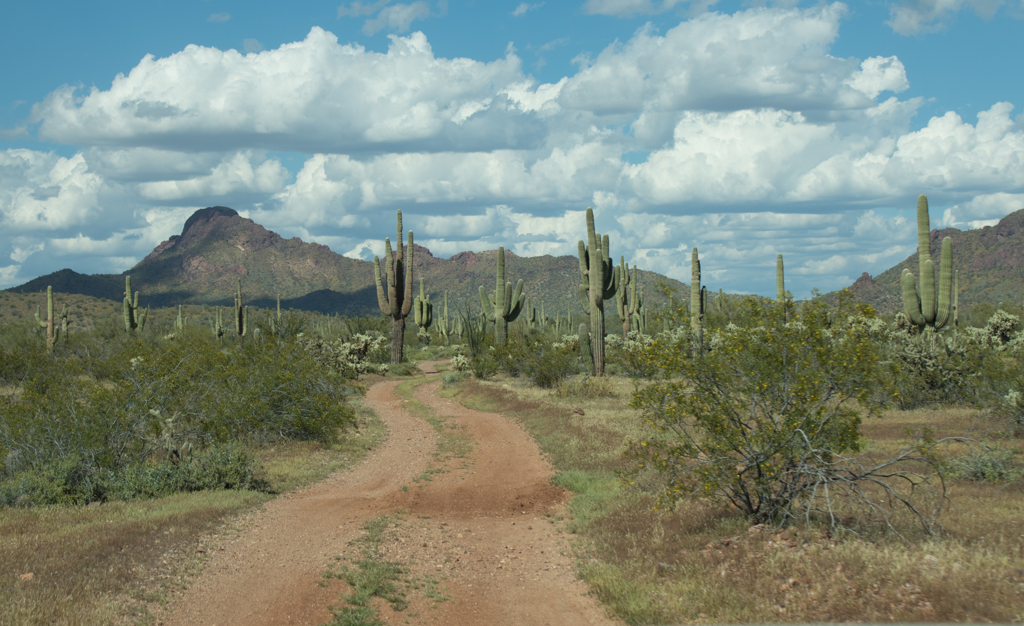
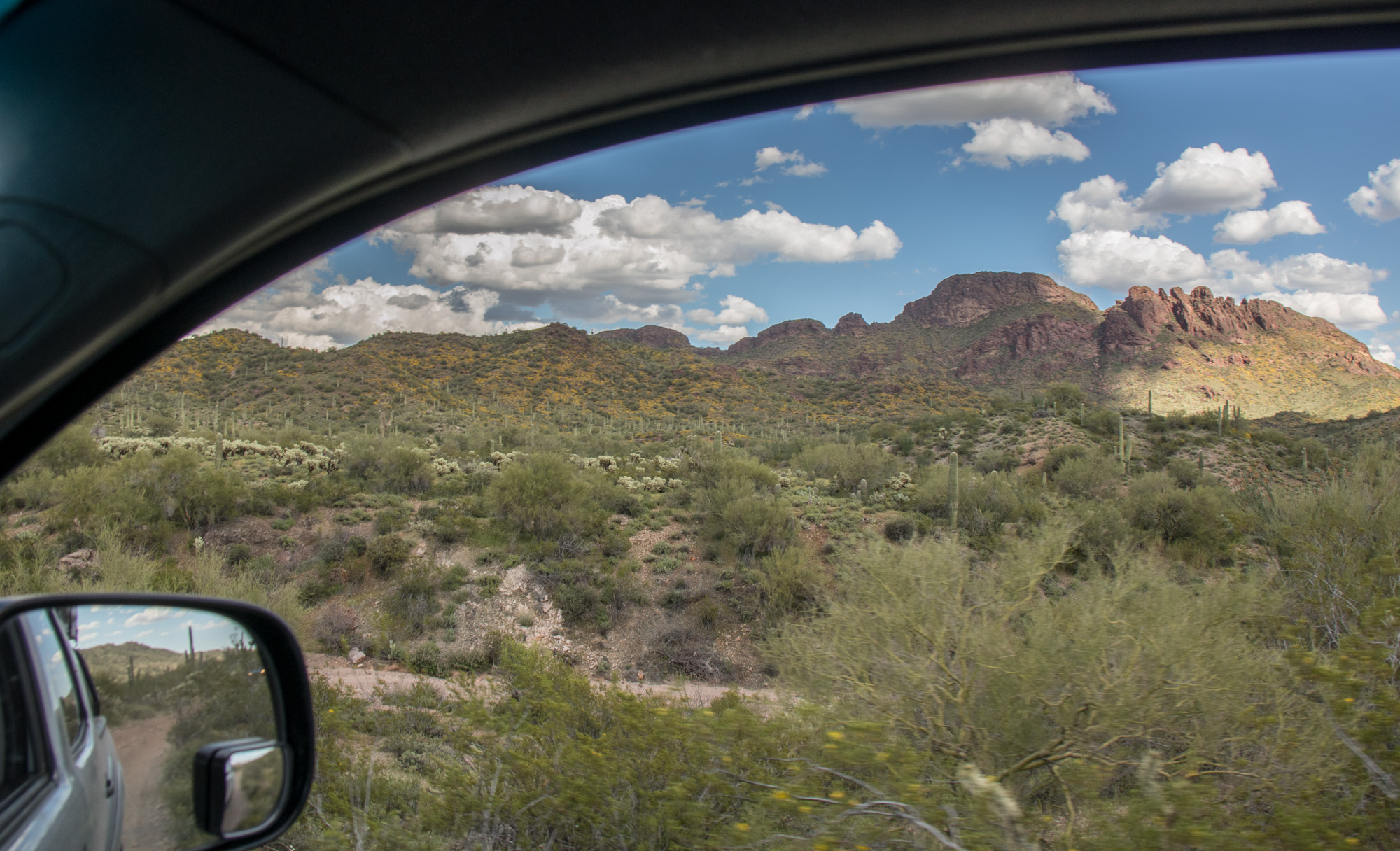
As the trail gains altitude, the views become more and more incredible. I was torn on keeping eyes on the road ahead and taking in the surroundings.
It was tempting to pull over at every opportunity and look around.
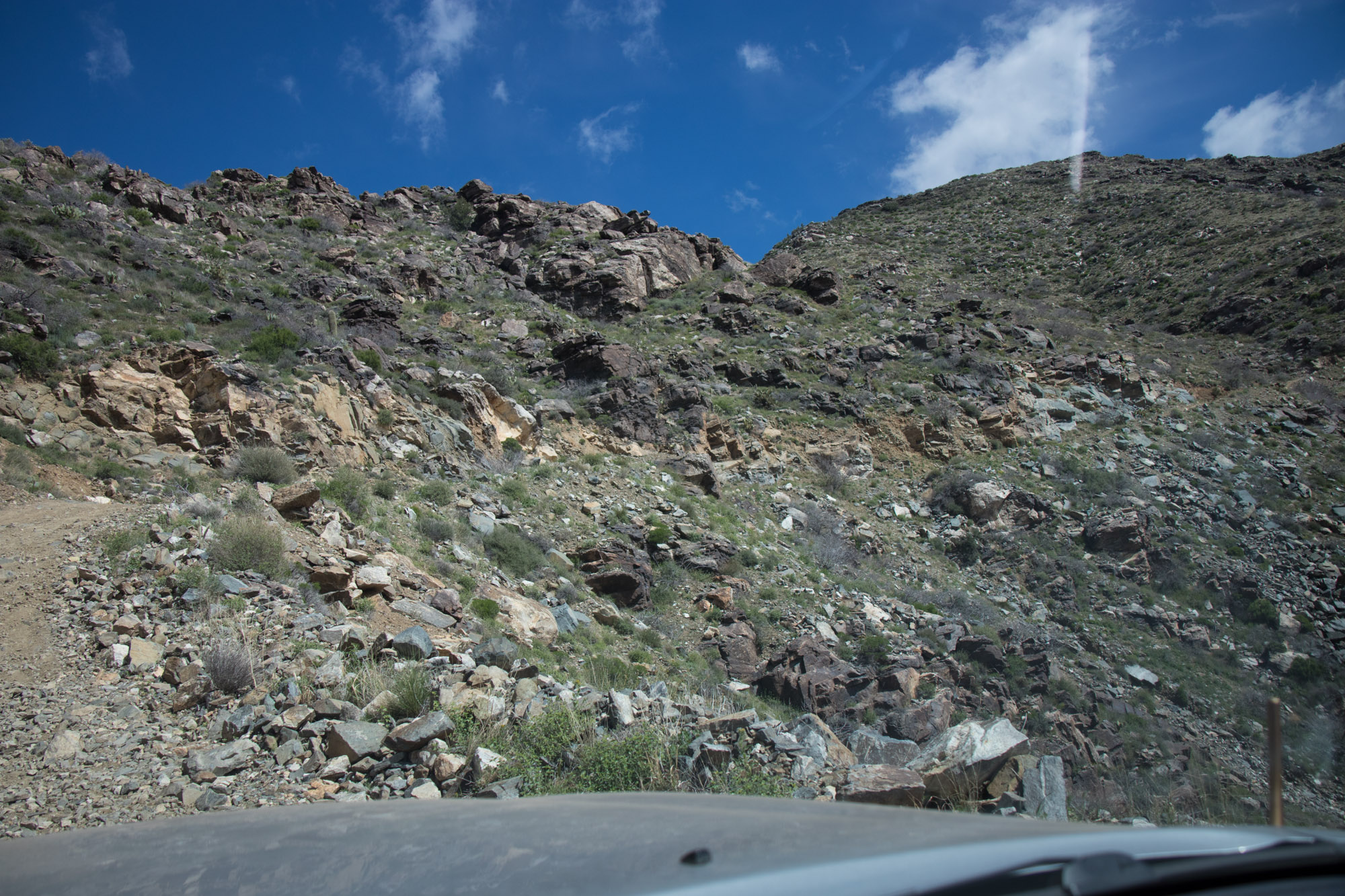
If you look closely, you can follow the trail all the way up the mountain side.
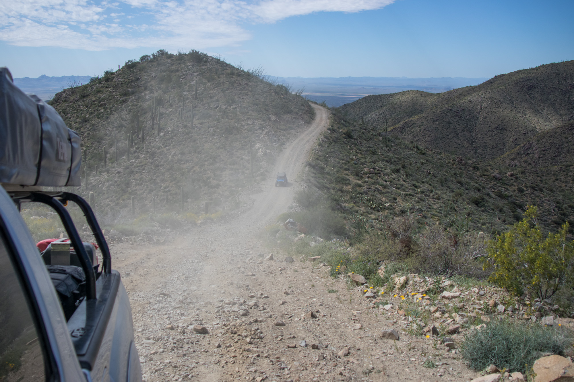
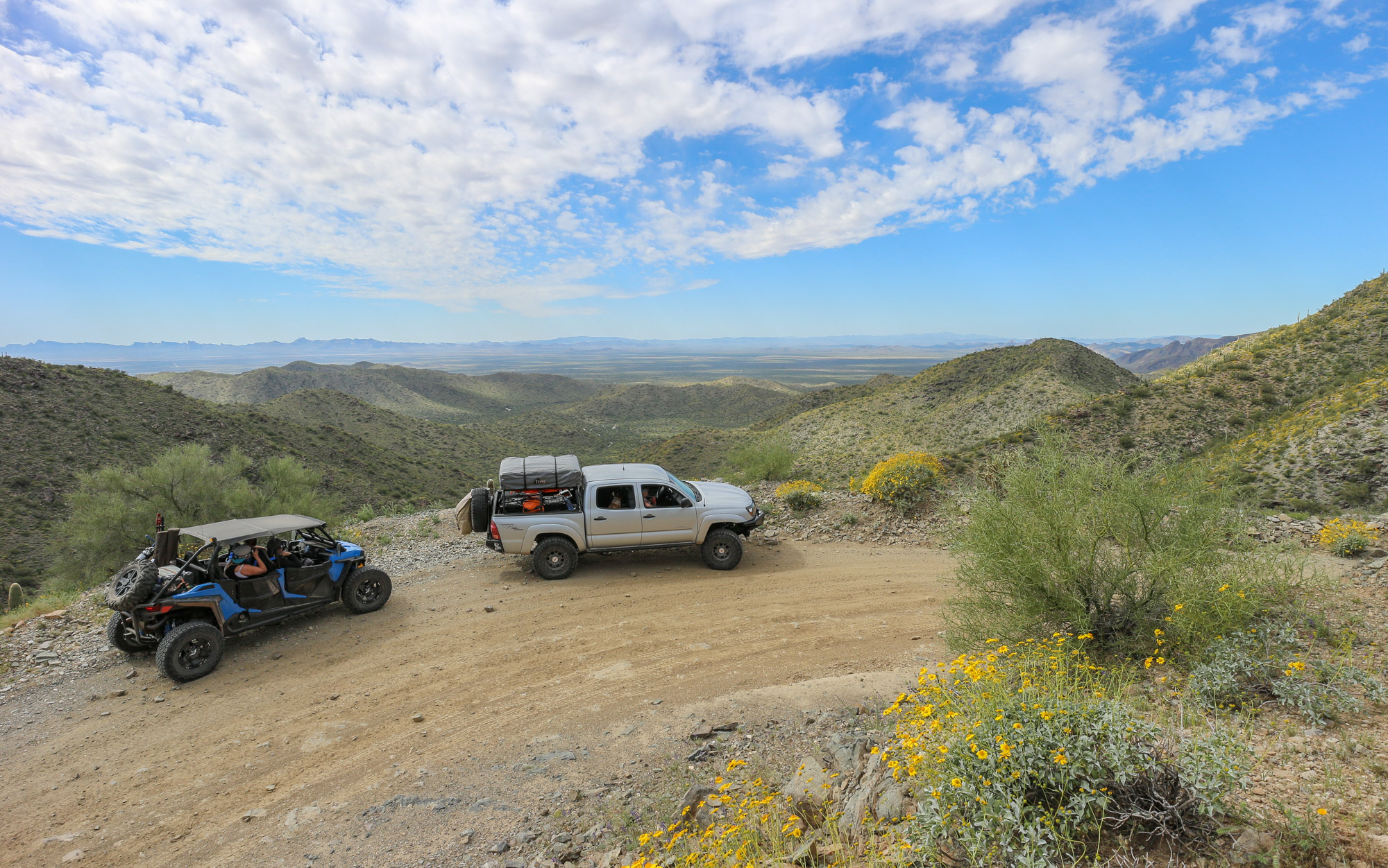
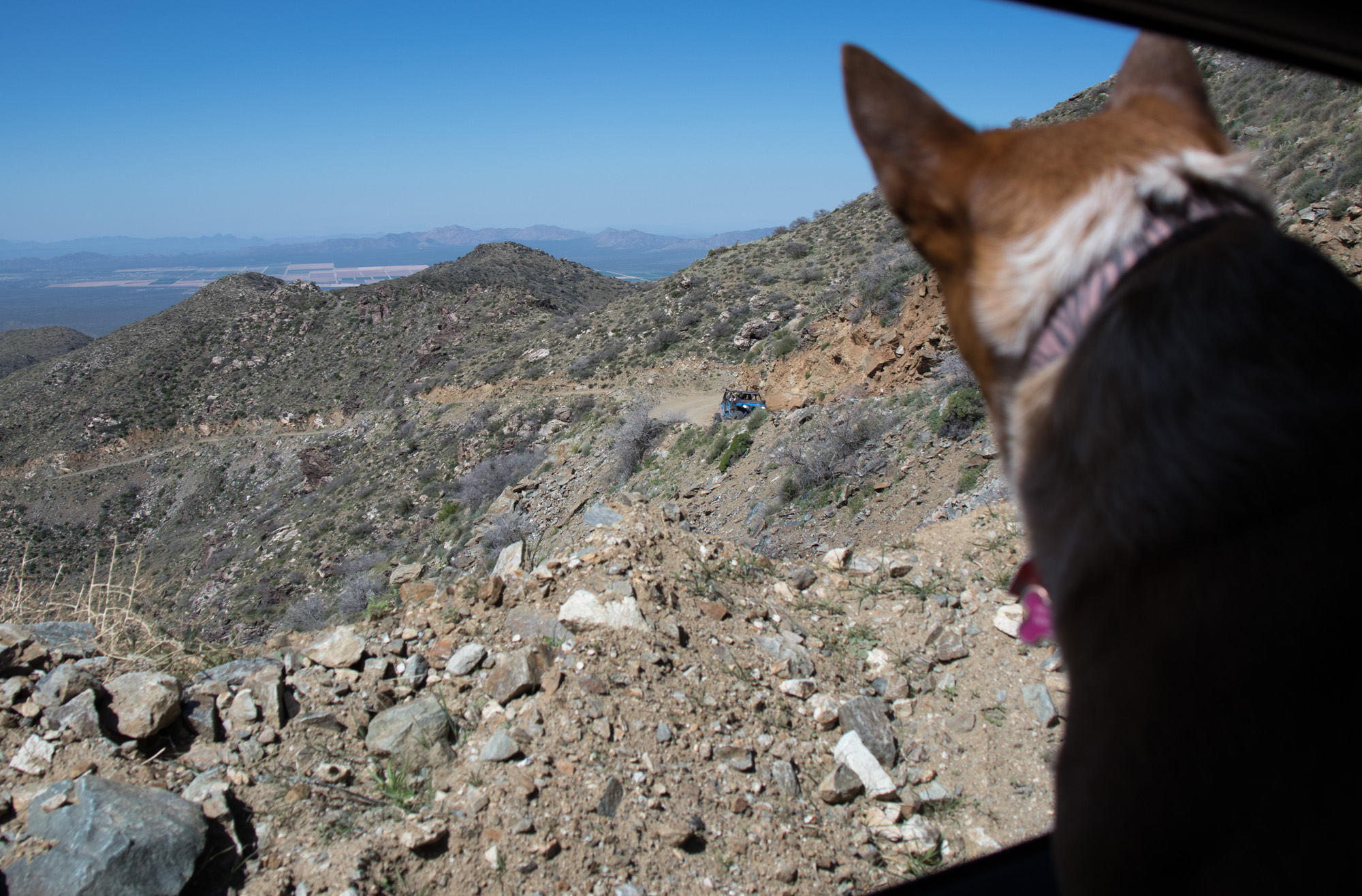
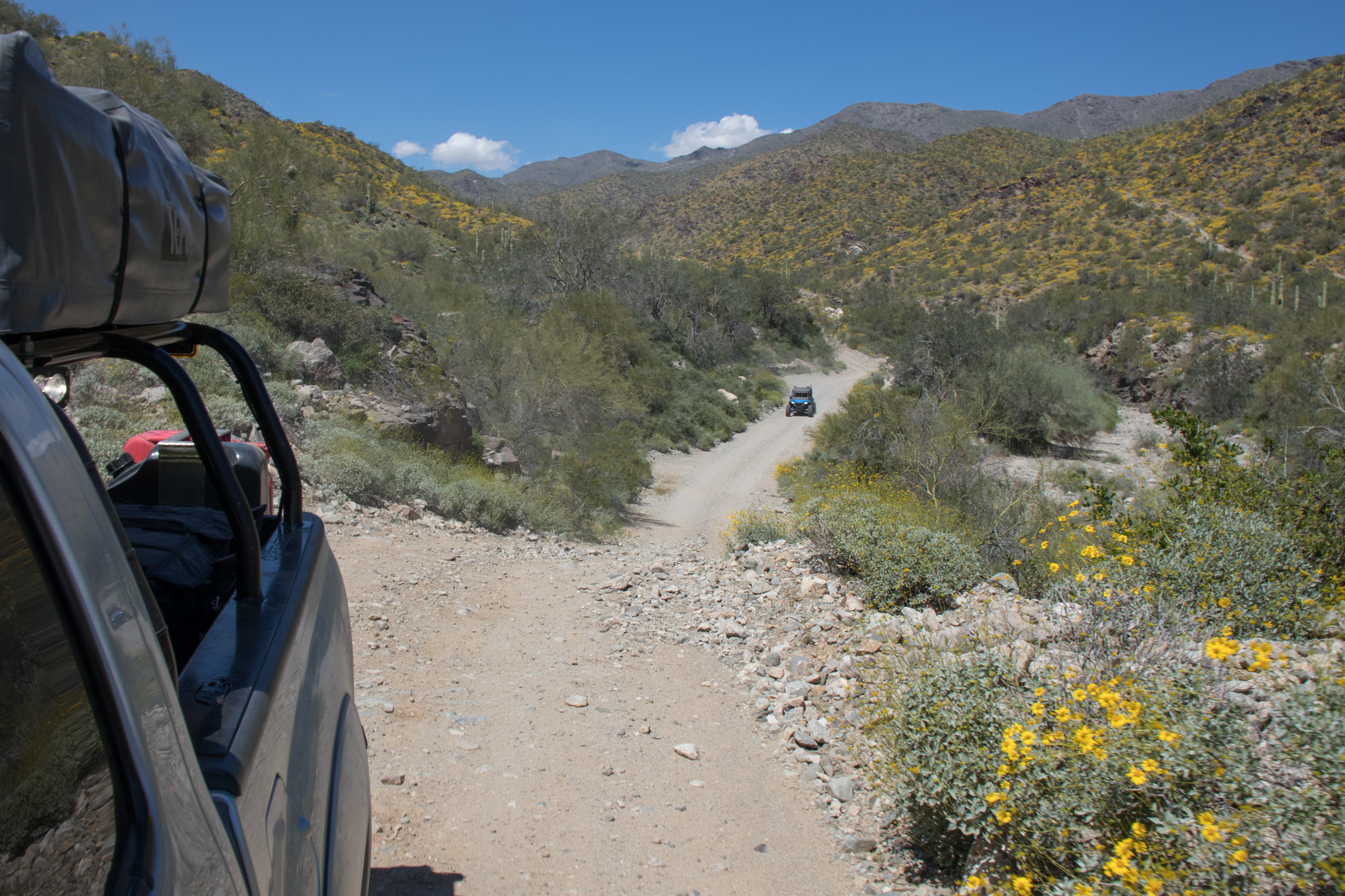
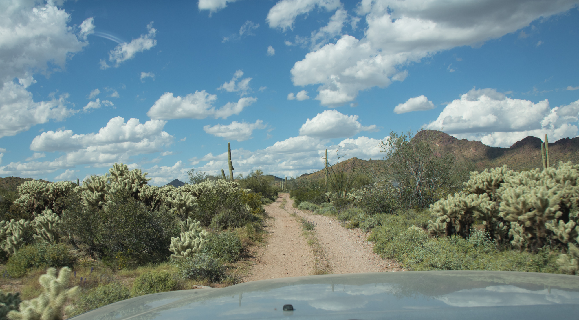
Towards the last mile or so the trail really begins to climb and has some decently steep sections. Eventually 4-low was needed so a quick stop was made to make the switch and wait for the Rzr to catch back up.
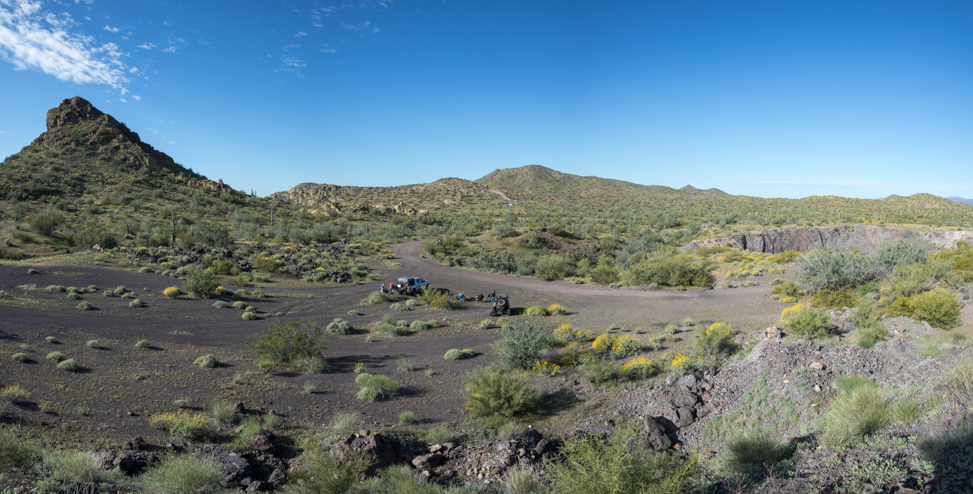
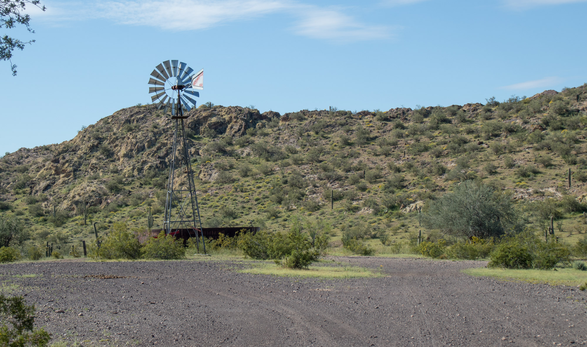
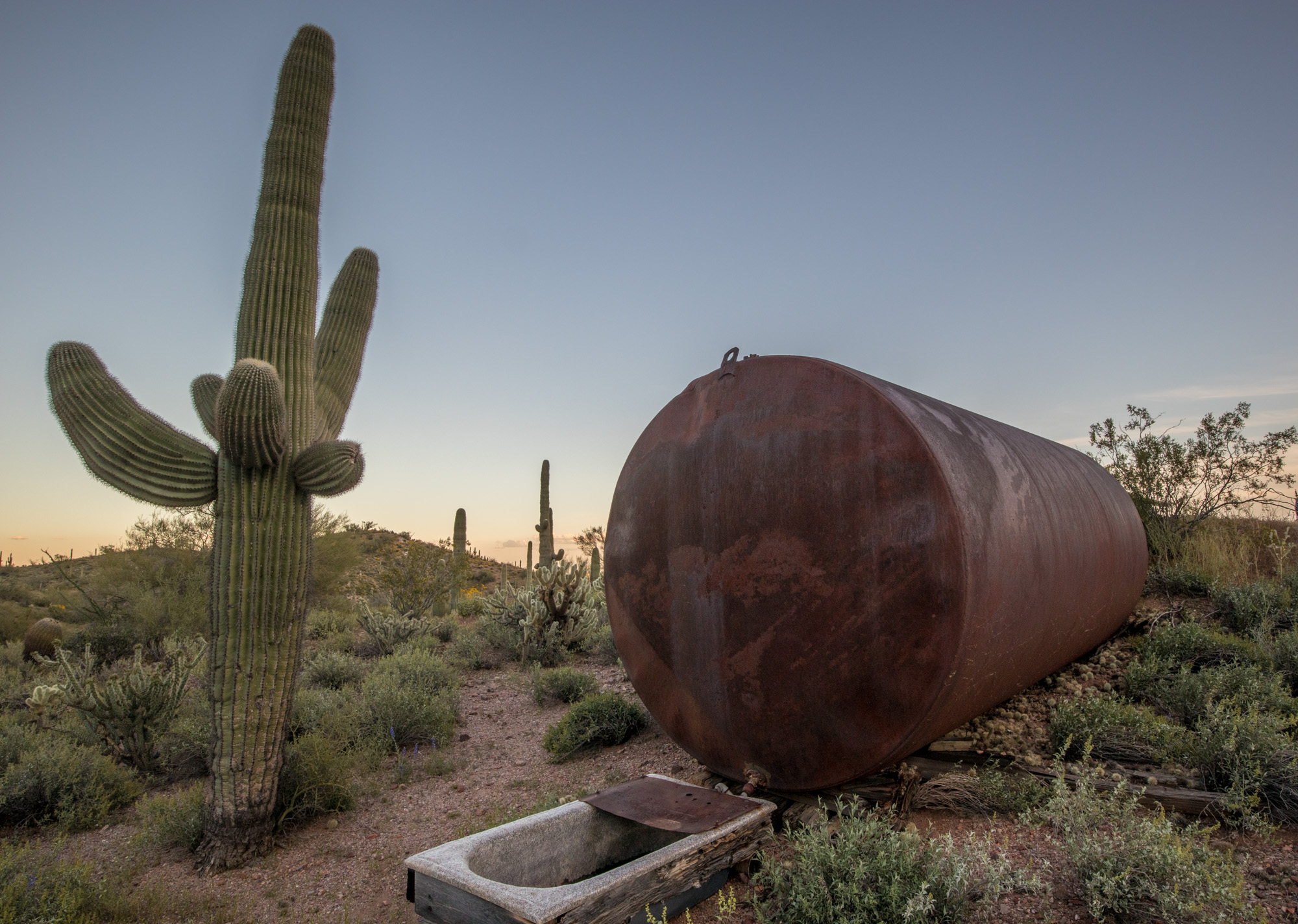
Rad camp spot. It’s worth mentioning that there are quite a few camping opportunities scattered among the trail, some even proving tables and what appear to be charcoal bbq’s.
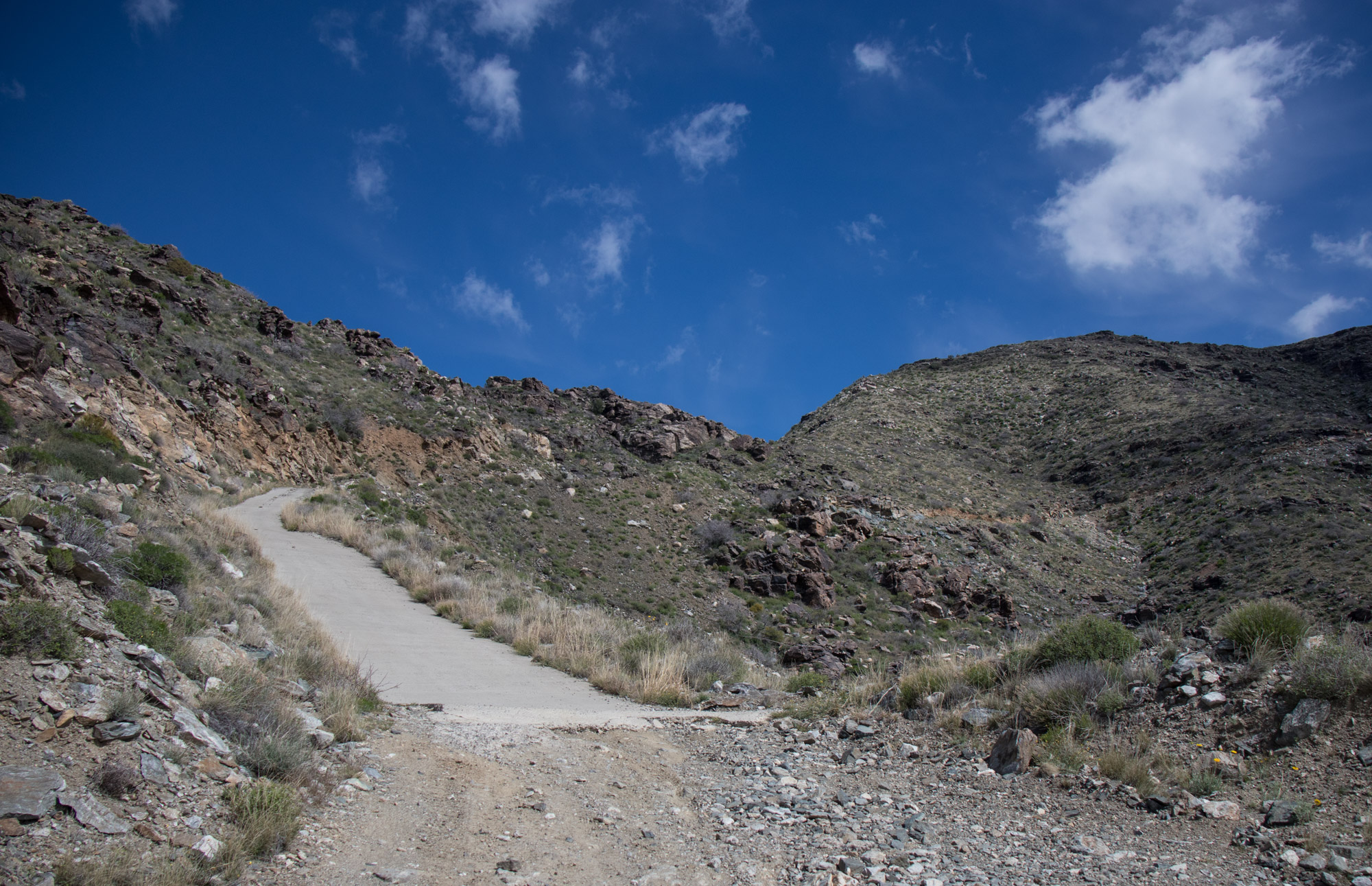
At one point there is a section of concrete where erosion has been a problem. What a job that must have been – side of a mountain and such a radical angle. Really hard to convey through pictures how steep it is! Take note of the distant horizon looking out Candace’s window, turn your head to make it level and that gives you a decent idea…
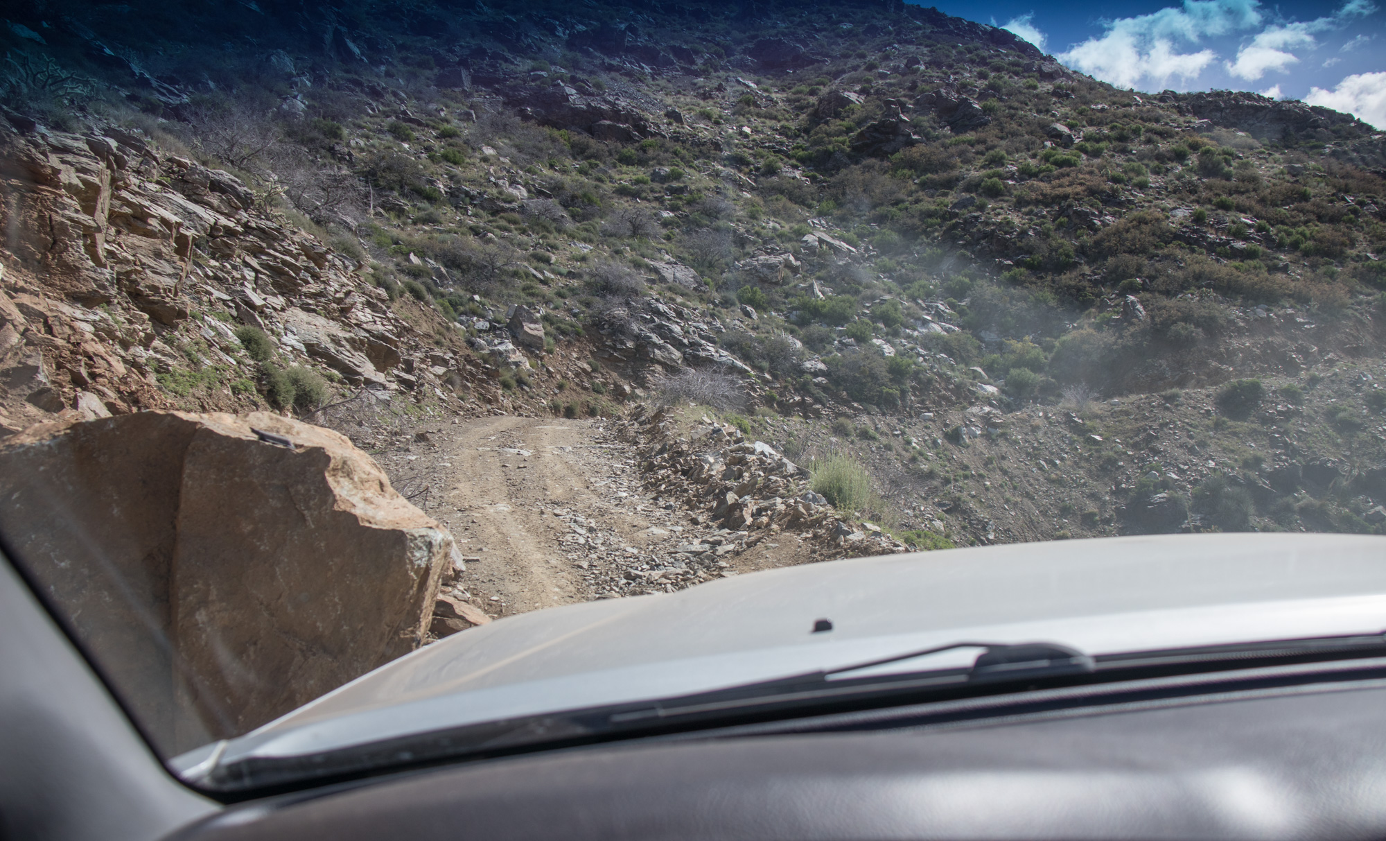
Fun squeeze towards the edge around a fallen boulder
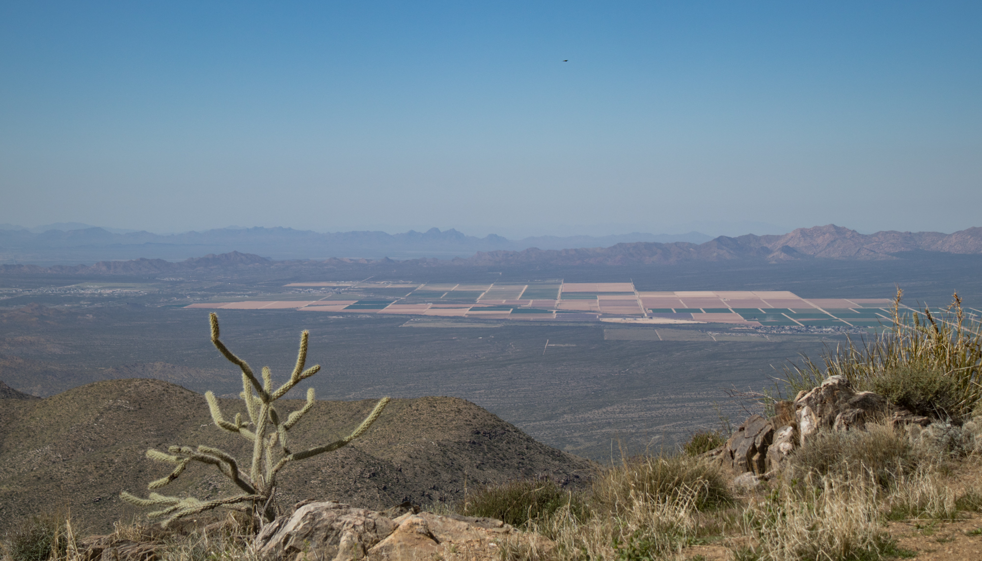
Looking back towards Salome (left of picture) and Wenden.
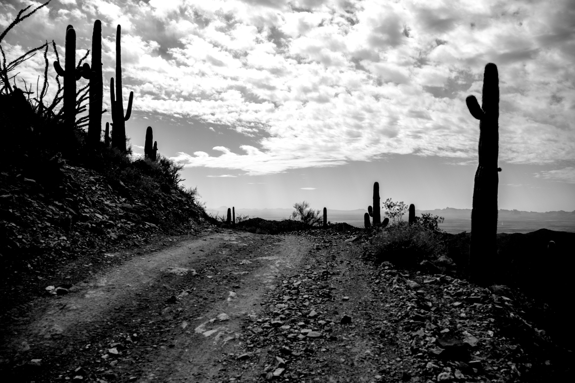
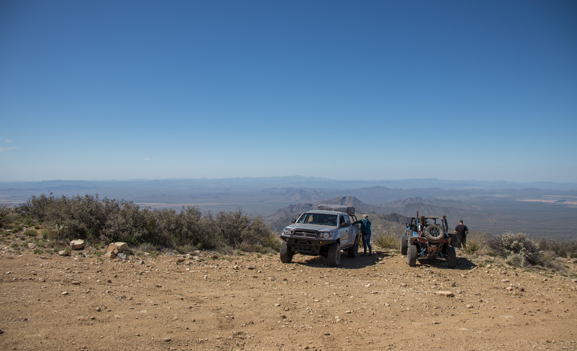
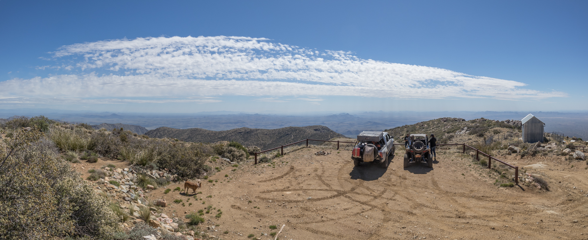
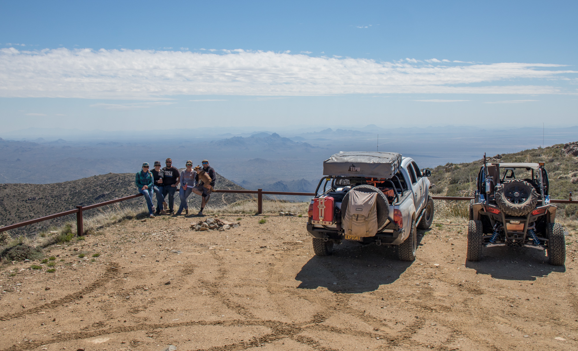
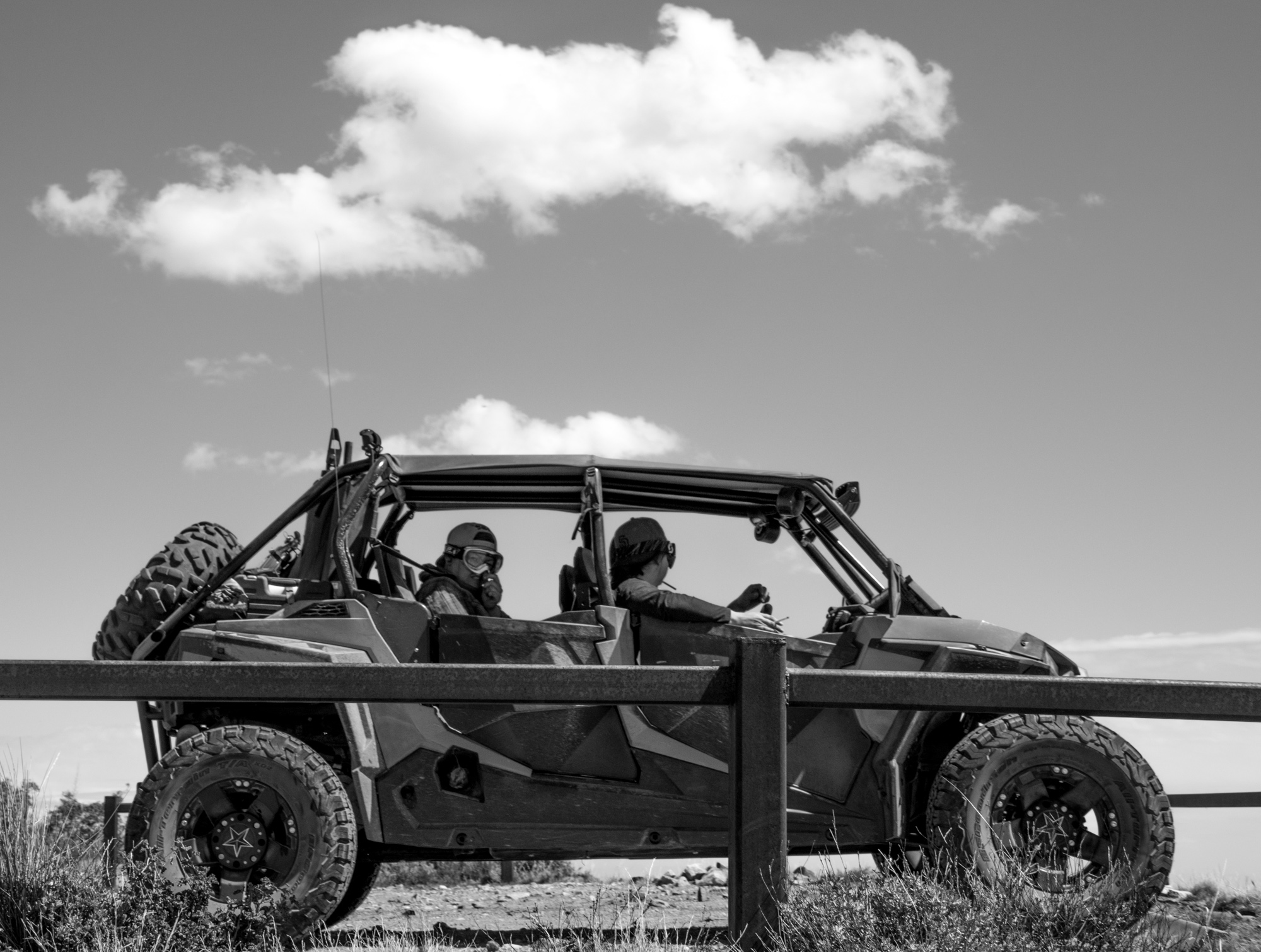
And finally at the top! There were only a couple vehicles at the top, which ended up leaving shortly after we arrived. Ended up having the whole mountain top to ourselves.
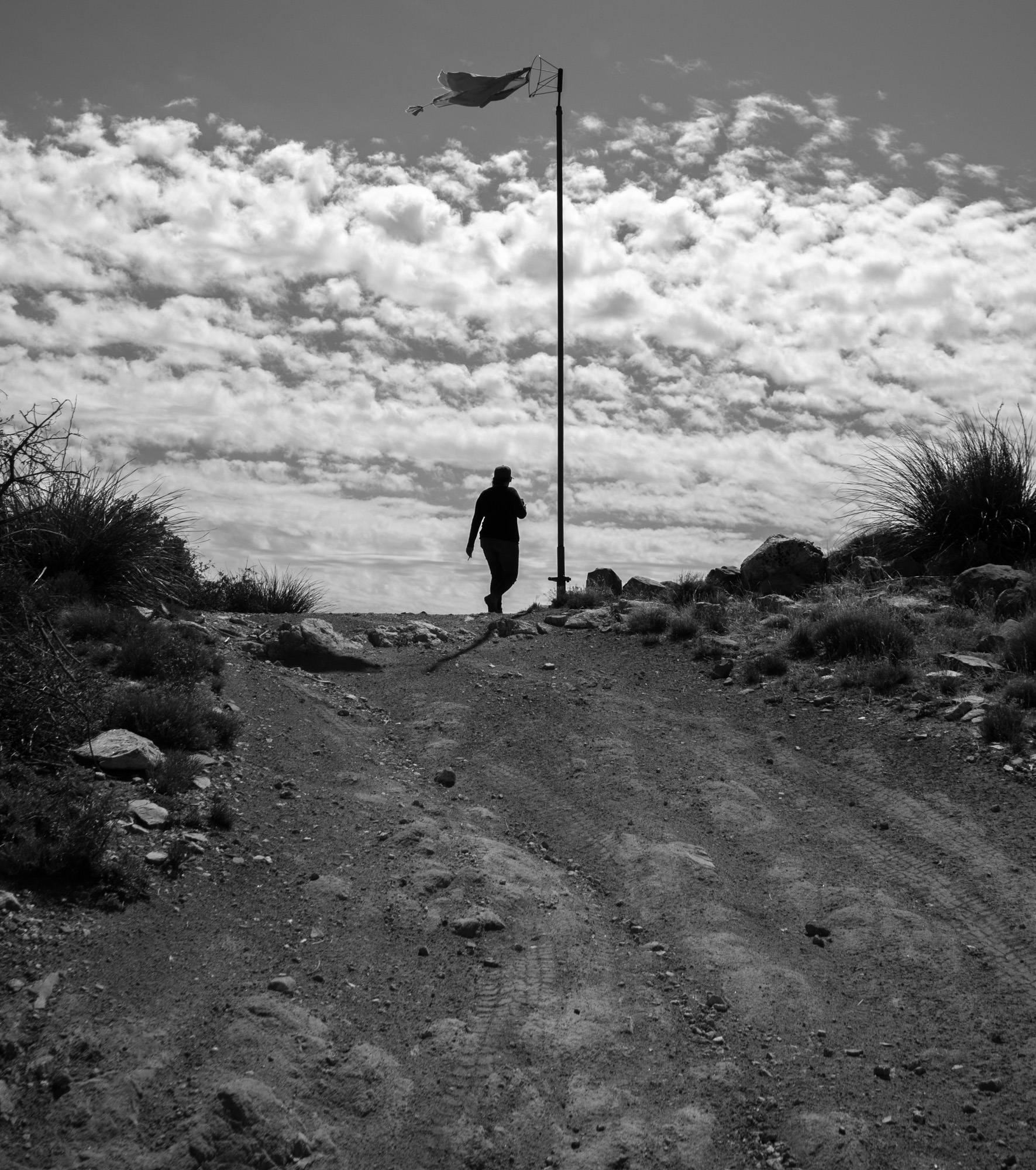
Flag marks the USGS survey marker for the peak elevation


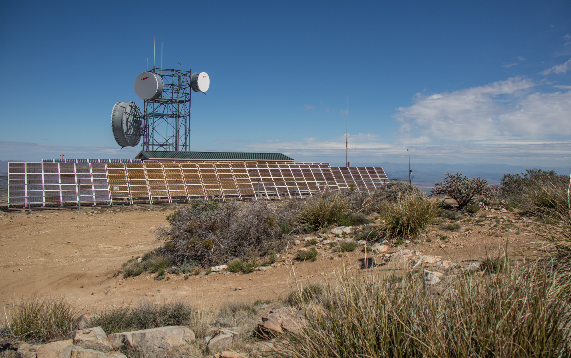
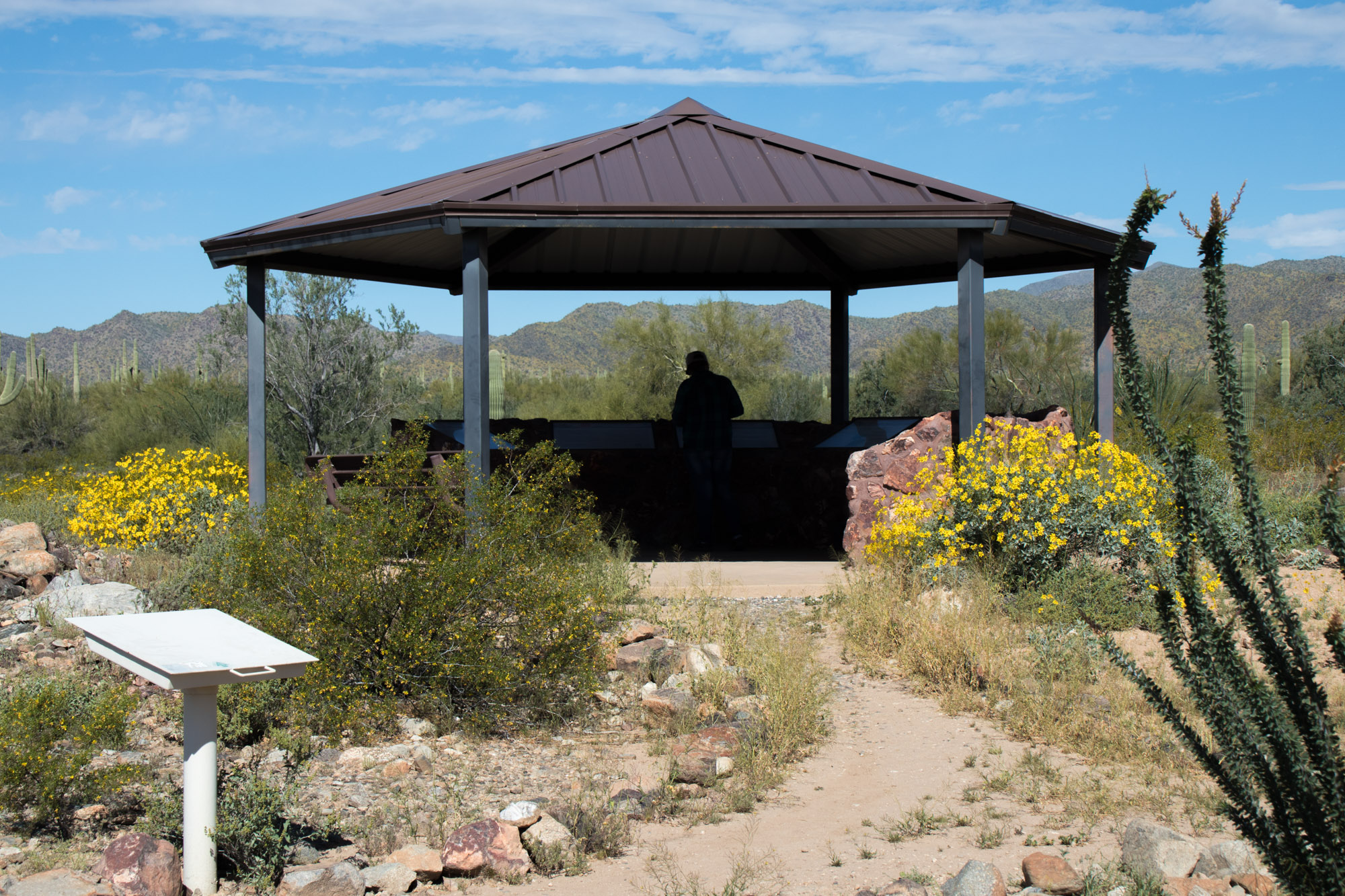
Welcome to the Harquahala Peak Smithsonian Observatory! Just imagine being sent to this mountaintop to live and work in the early 1920’s. That is what happened to eight scientists from 1920 to 1925. The Smithsonian Astrophysical Observatory (APO) program in Washington D.C. built this observatory station to collect data about the sun.
In the late 1800’s Dr. Samuel Peirpoint Langley believed the sun caused changes in the climate of the earth. He thought that by measuring these changes (dubbed the “solar constant”), scientists could predict climatic events. Dr. Charles G. Abbot, Langley’s protege, pursued his theory, Harquahala Observatory was built, and testing began.
The program founder, Dr. Charles G. Aboot, saw this mountaintop as a place with high visibility, clear weather, and a remote location required for this endeavor. Private funding was obtained from John Augustus Roebling of Bernardsville, New Jersey, and the observatory was completed in August 1920.
By 1925 it was decided that another location would be more suitable due to the severe weather conditions, increased haziness in the air, and difficult access. The station was closed and everything was moved to an APO station on Table Mountain in southern California.
Pictures of all the informative signs can be found on the ExploreDesert Flickr account.
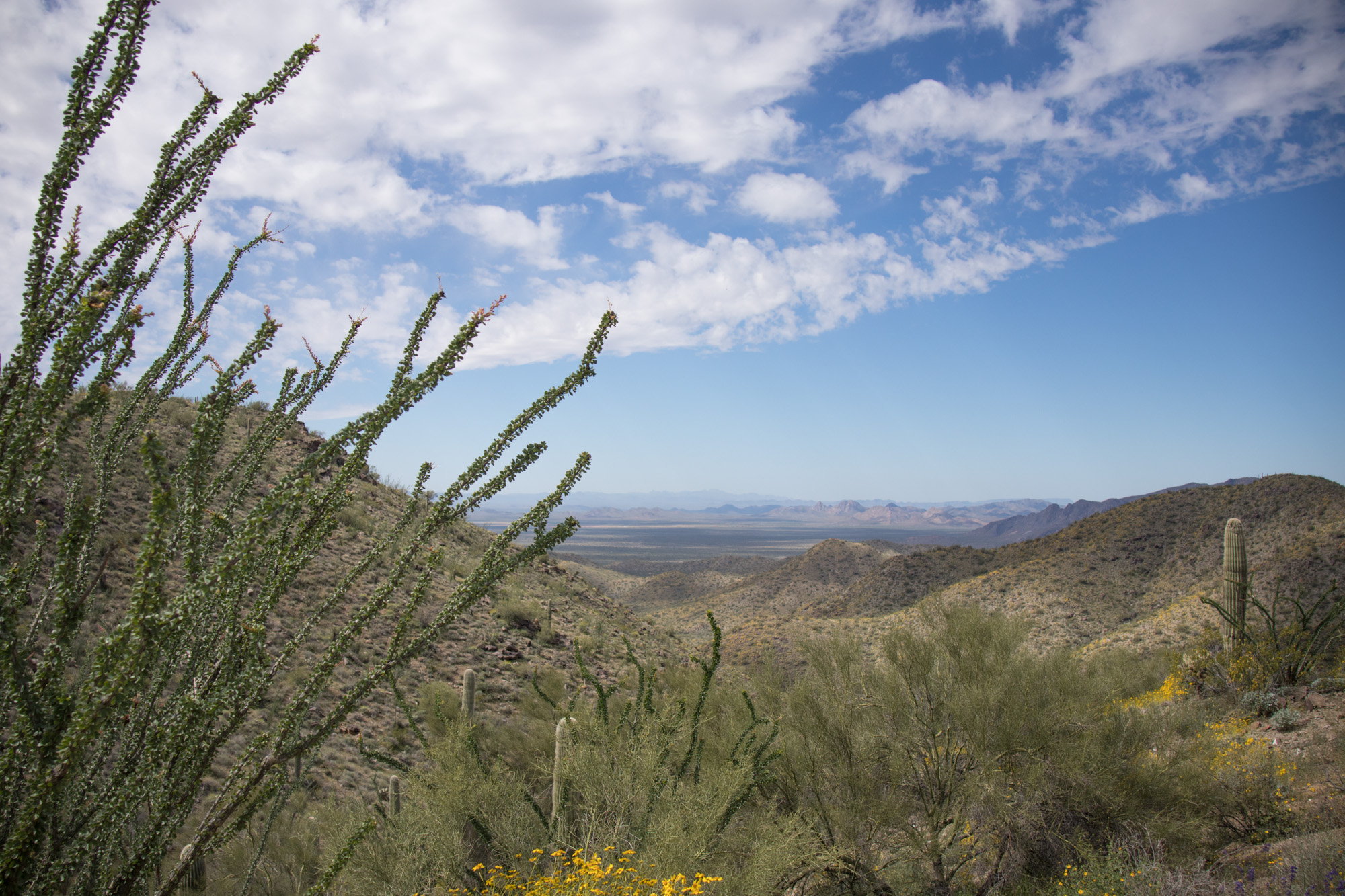
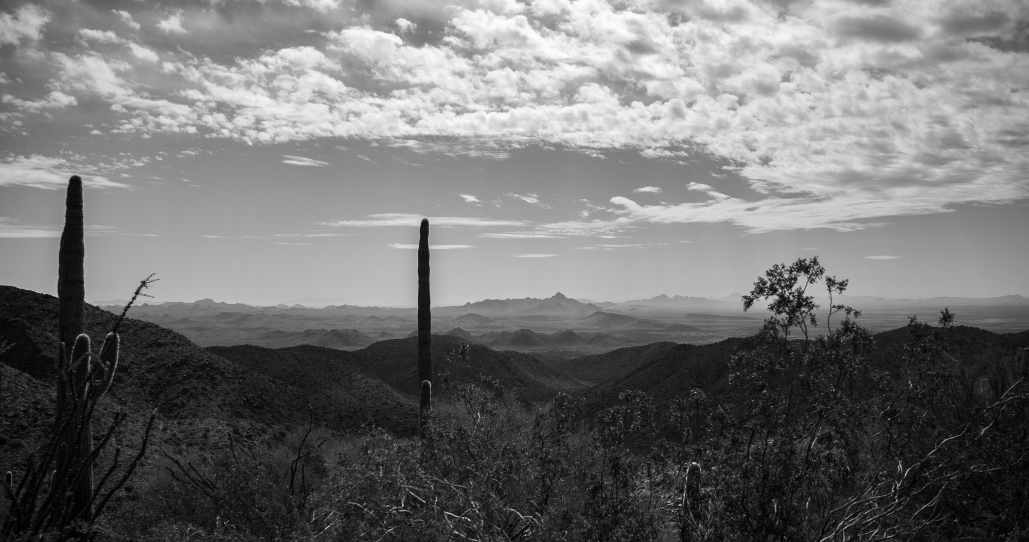
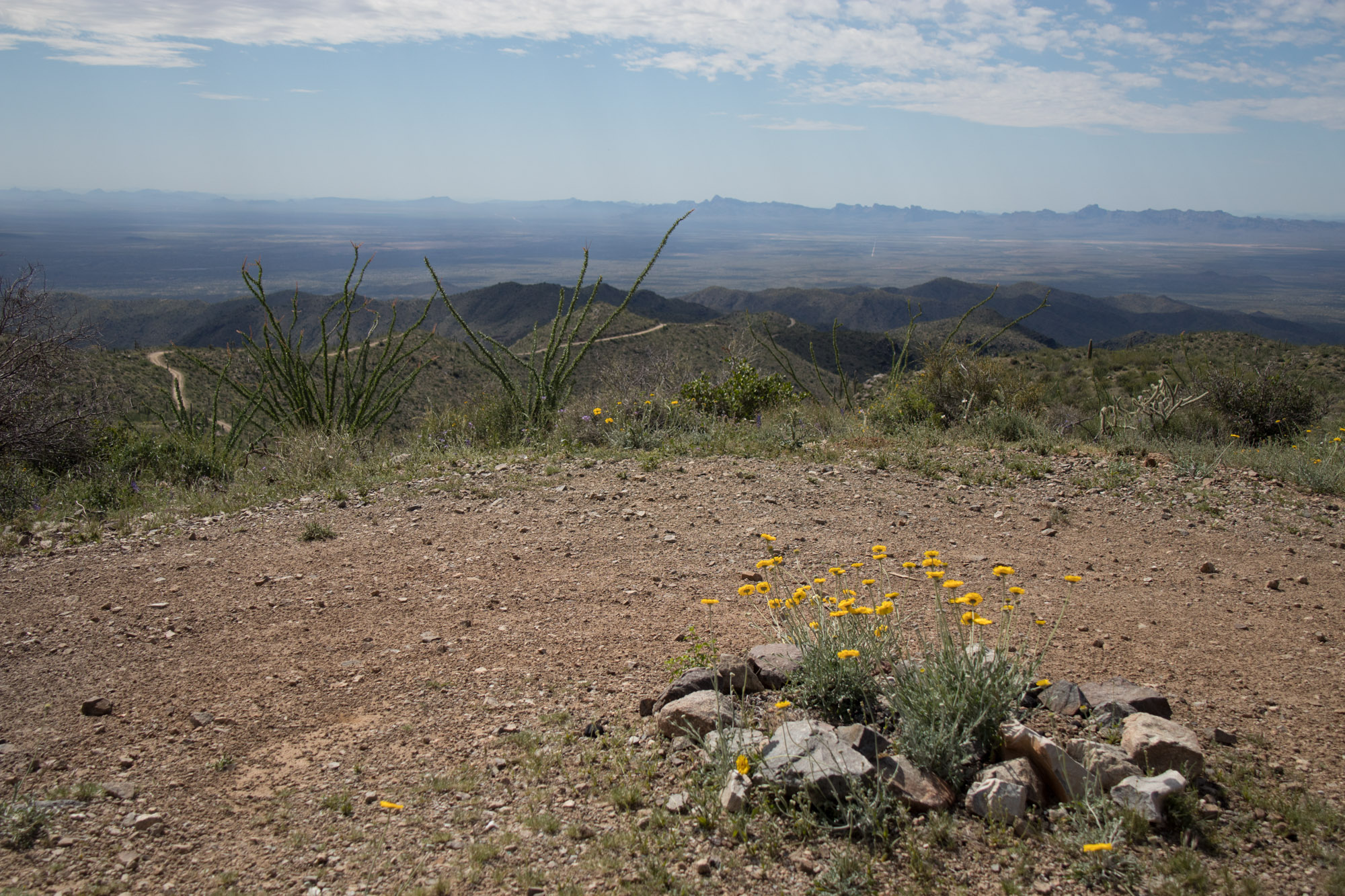
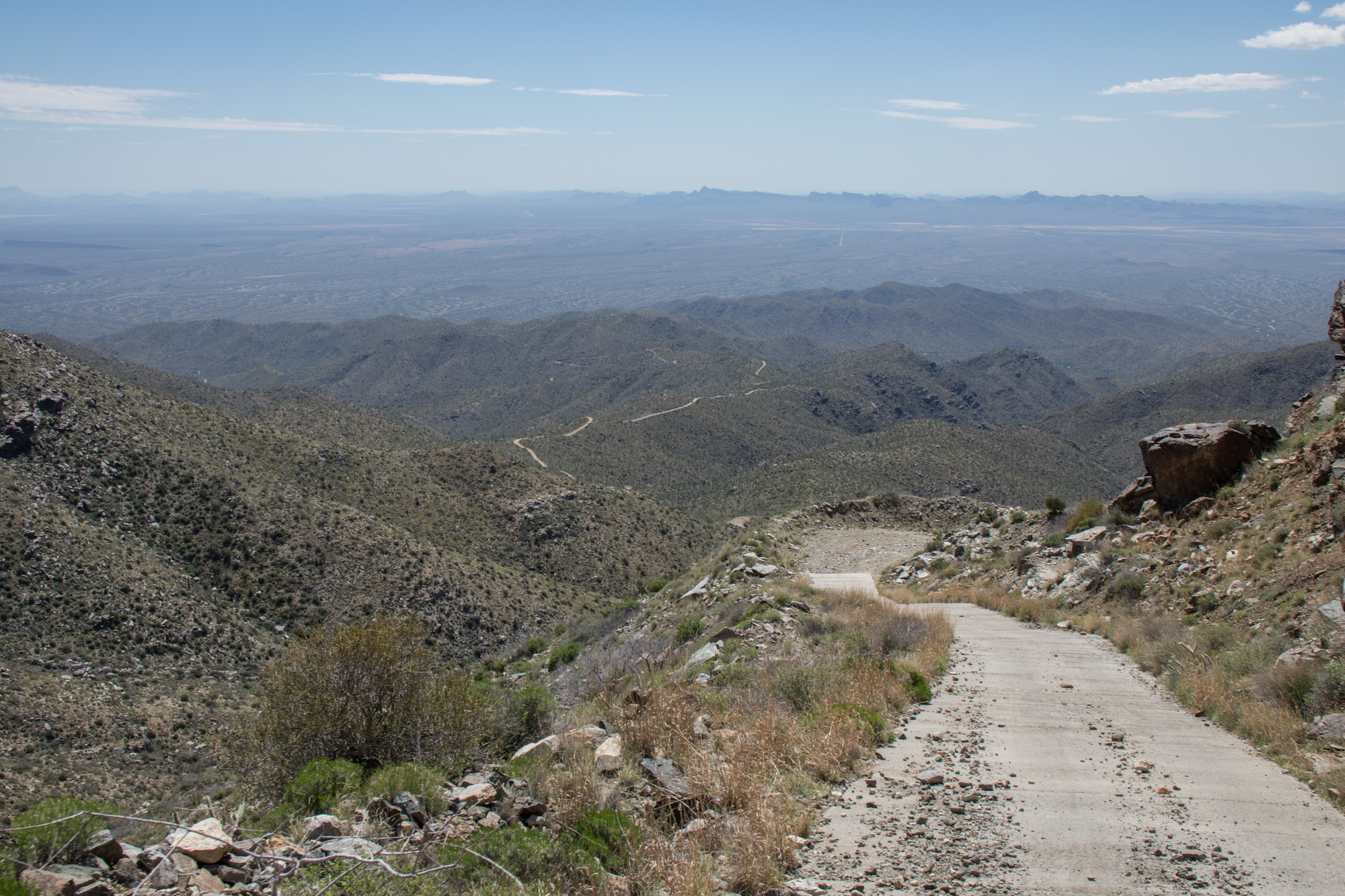
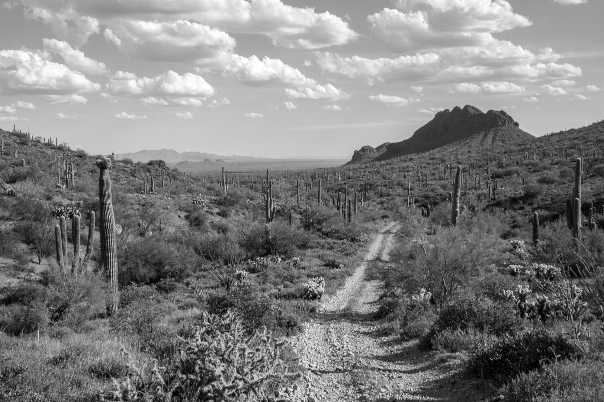
The view heading down the mountain was even more impressive. You could see for miles and I was able to spot the previous days trails and camp spot and look towards where we were going next.
Just to the left of the middle of the frame you can see the steep concrete section.
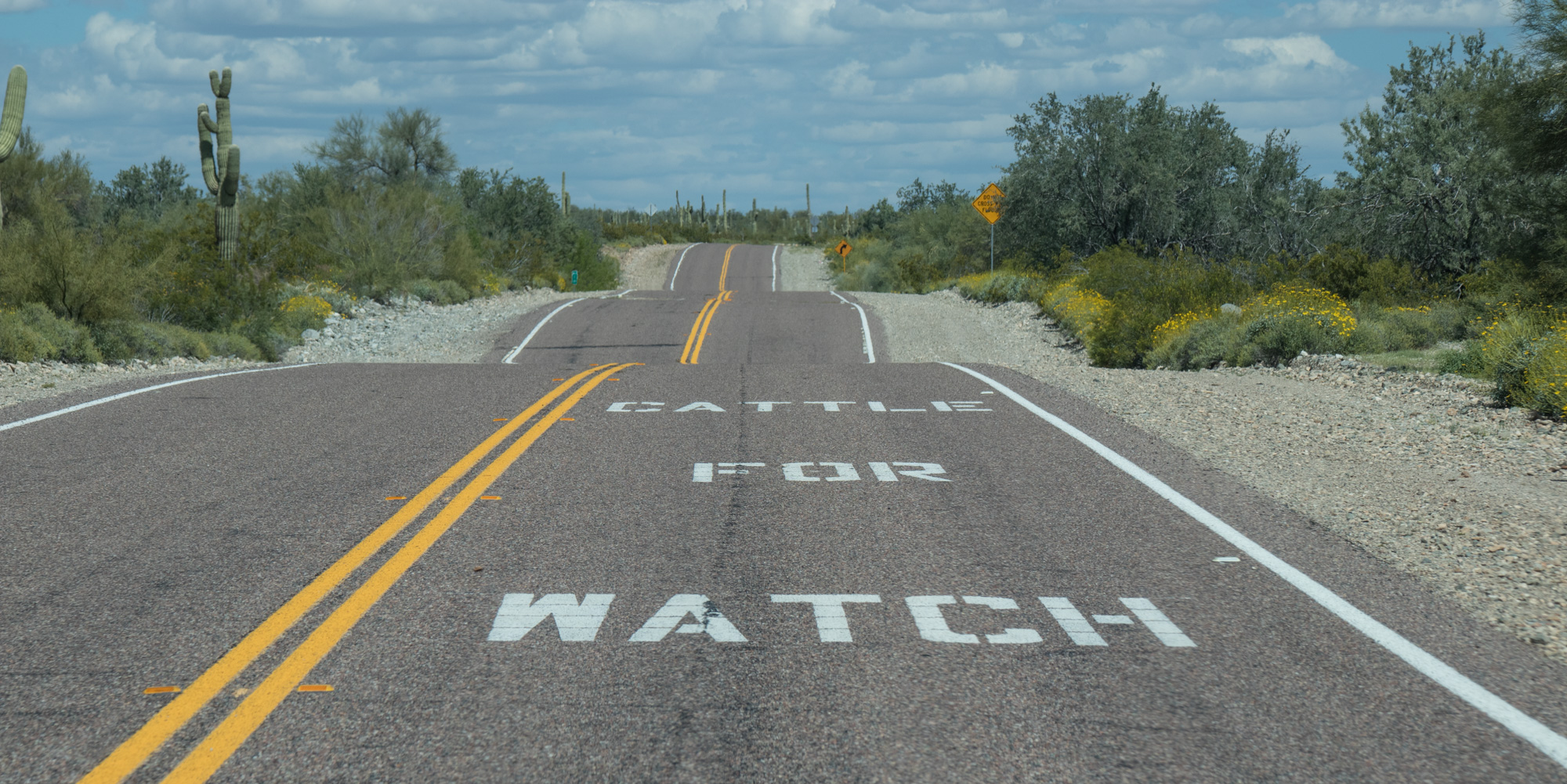
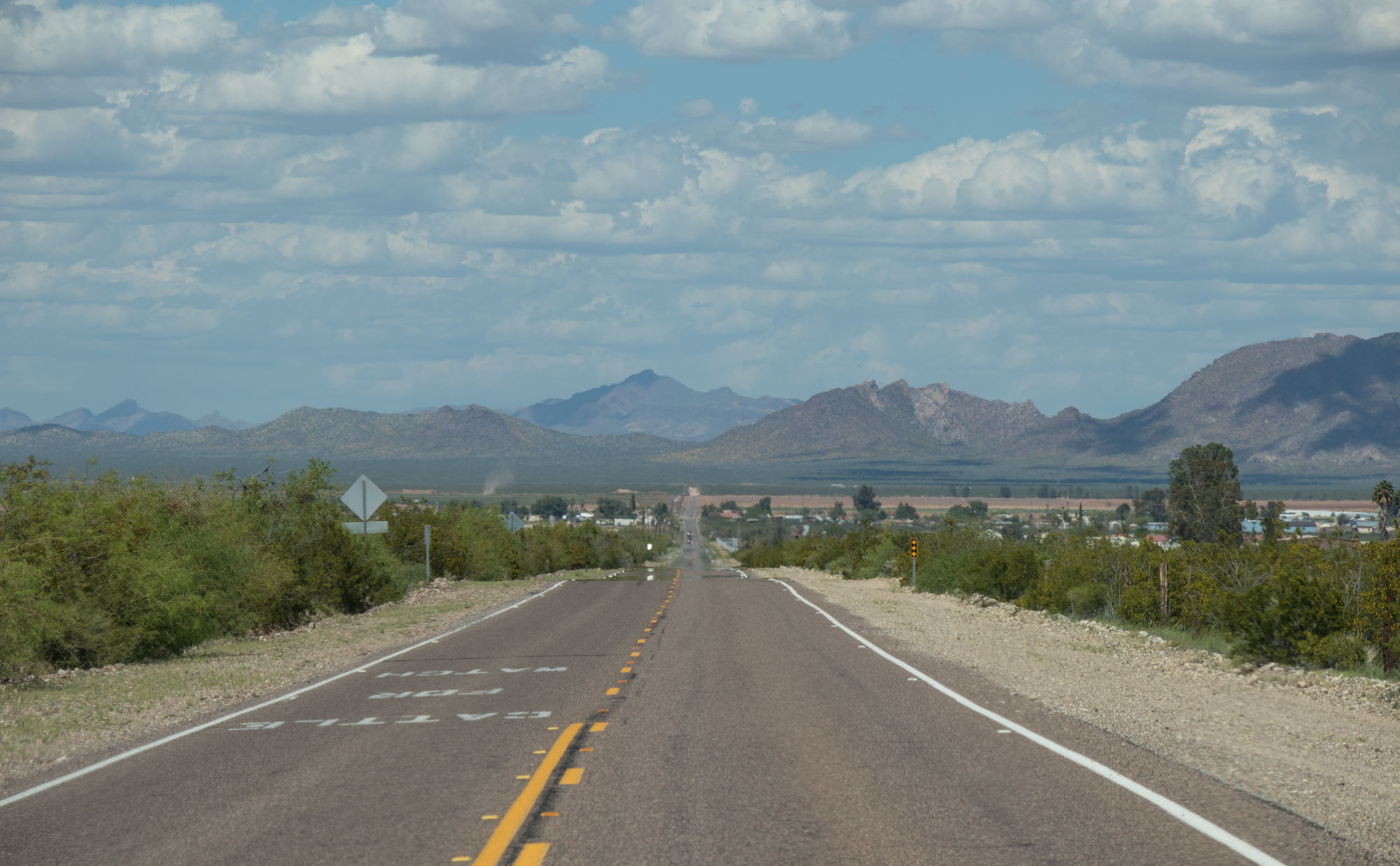
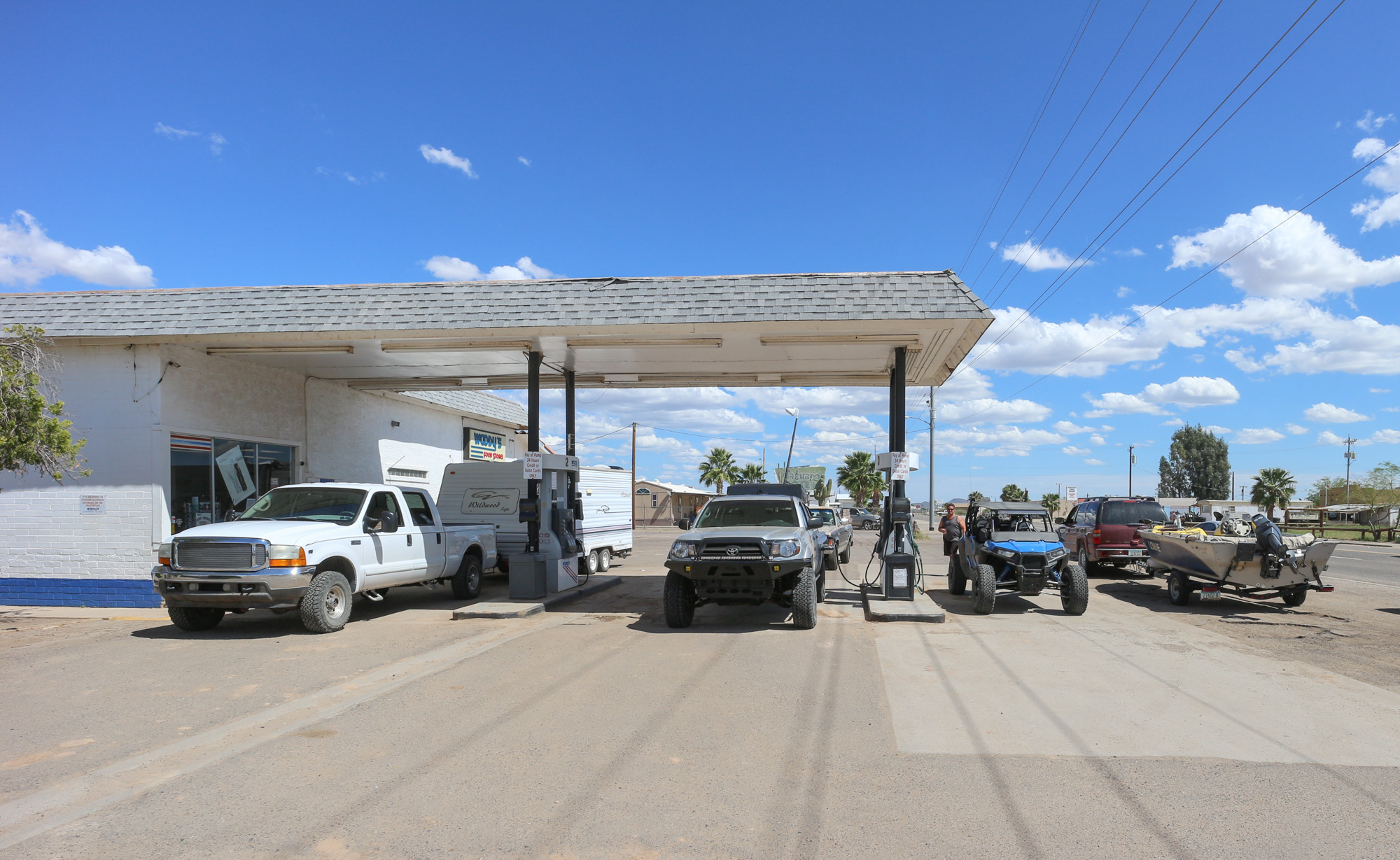
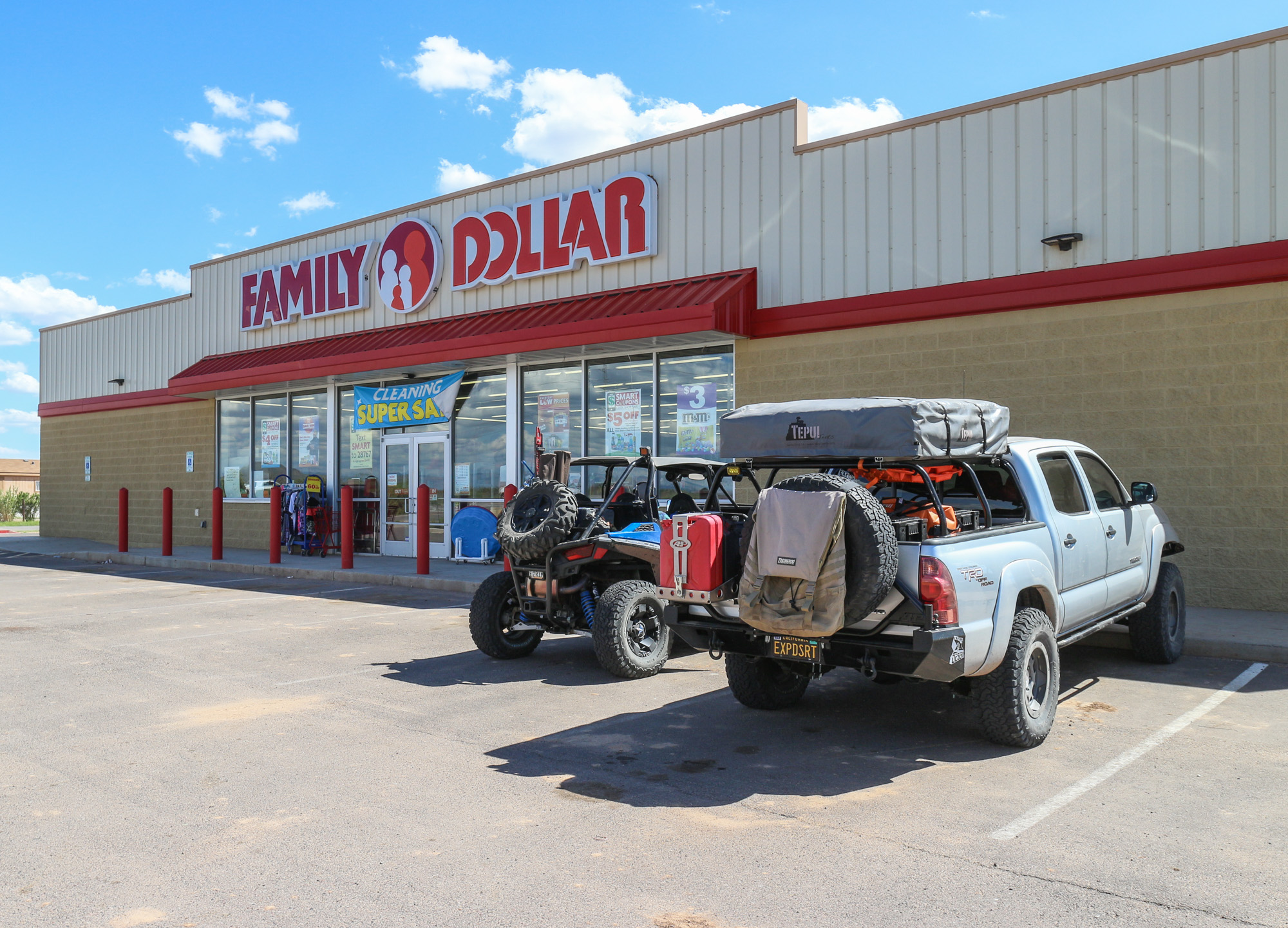
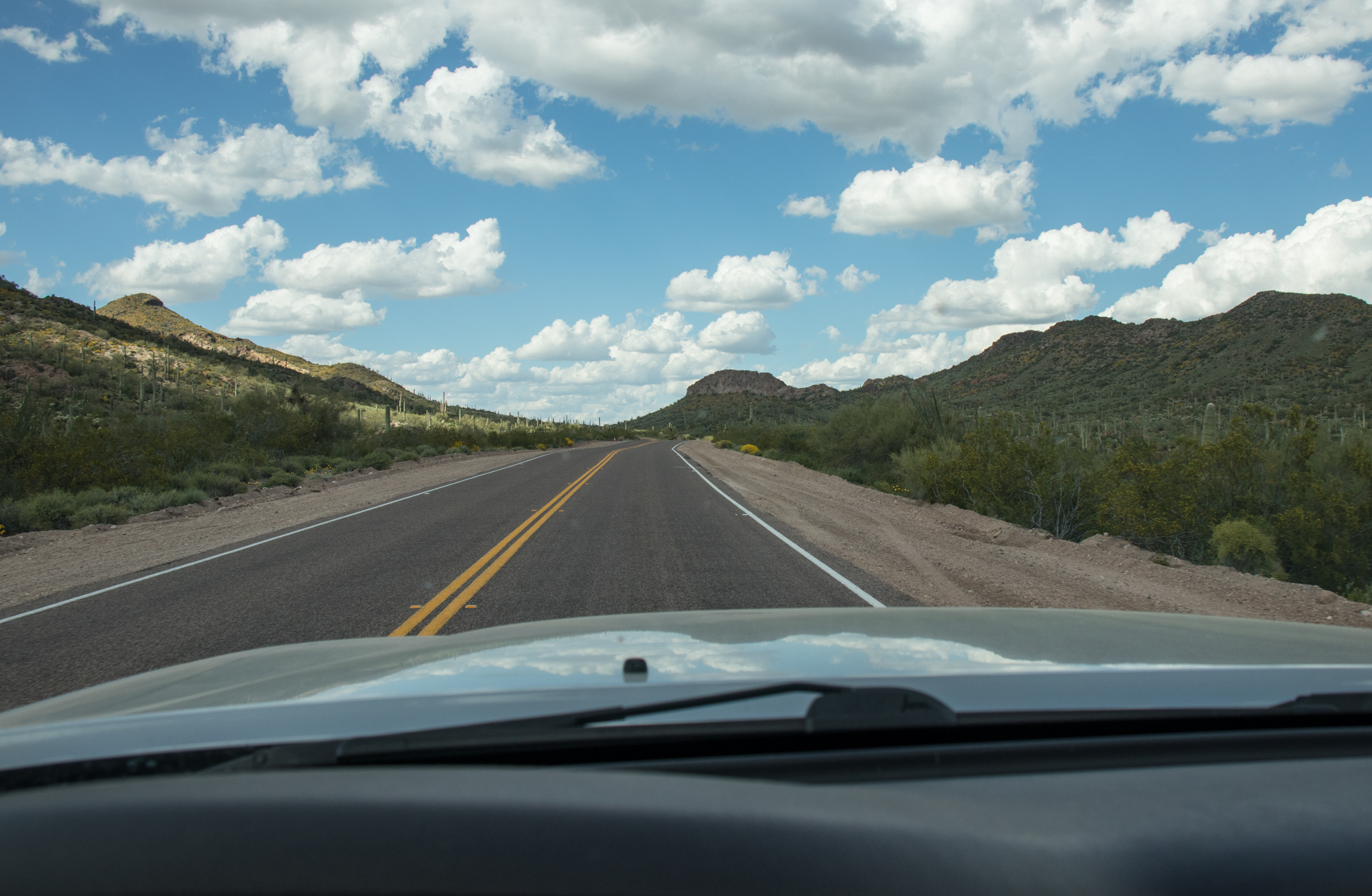
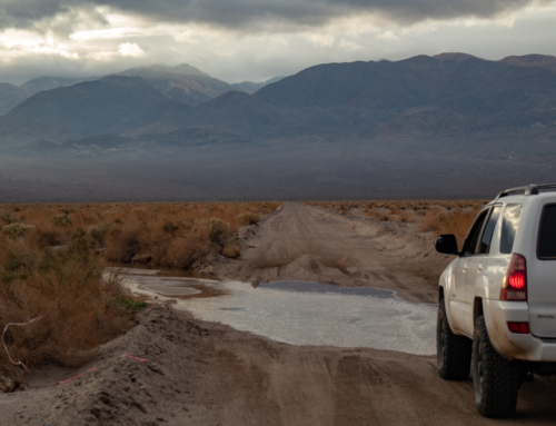
Back on the Eagle Eye Rd, we headed north to the small town of Aguila to refuel and a few supplies.
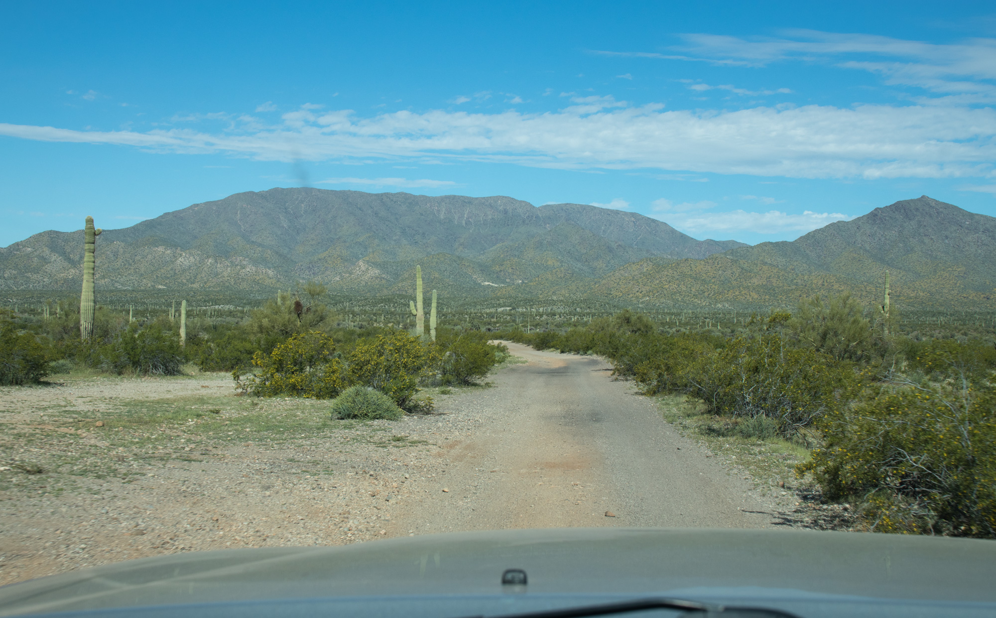
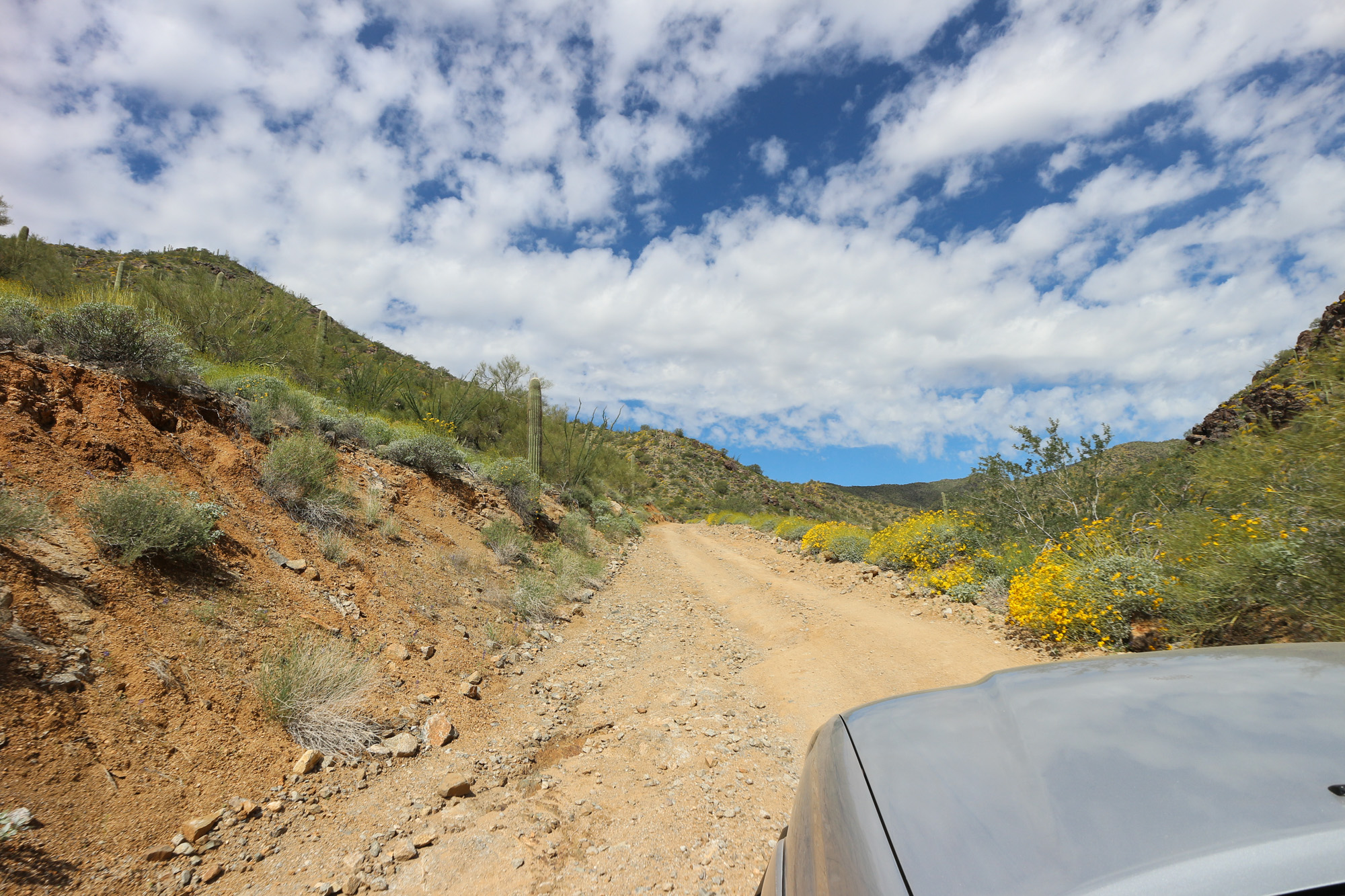
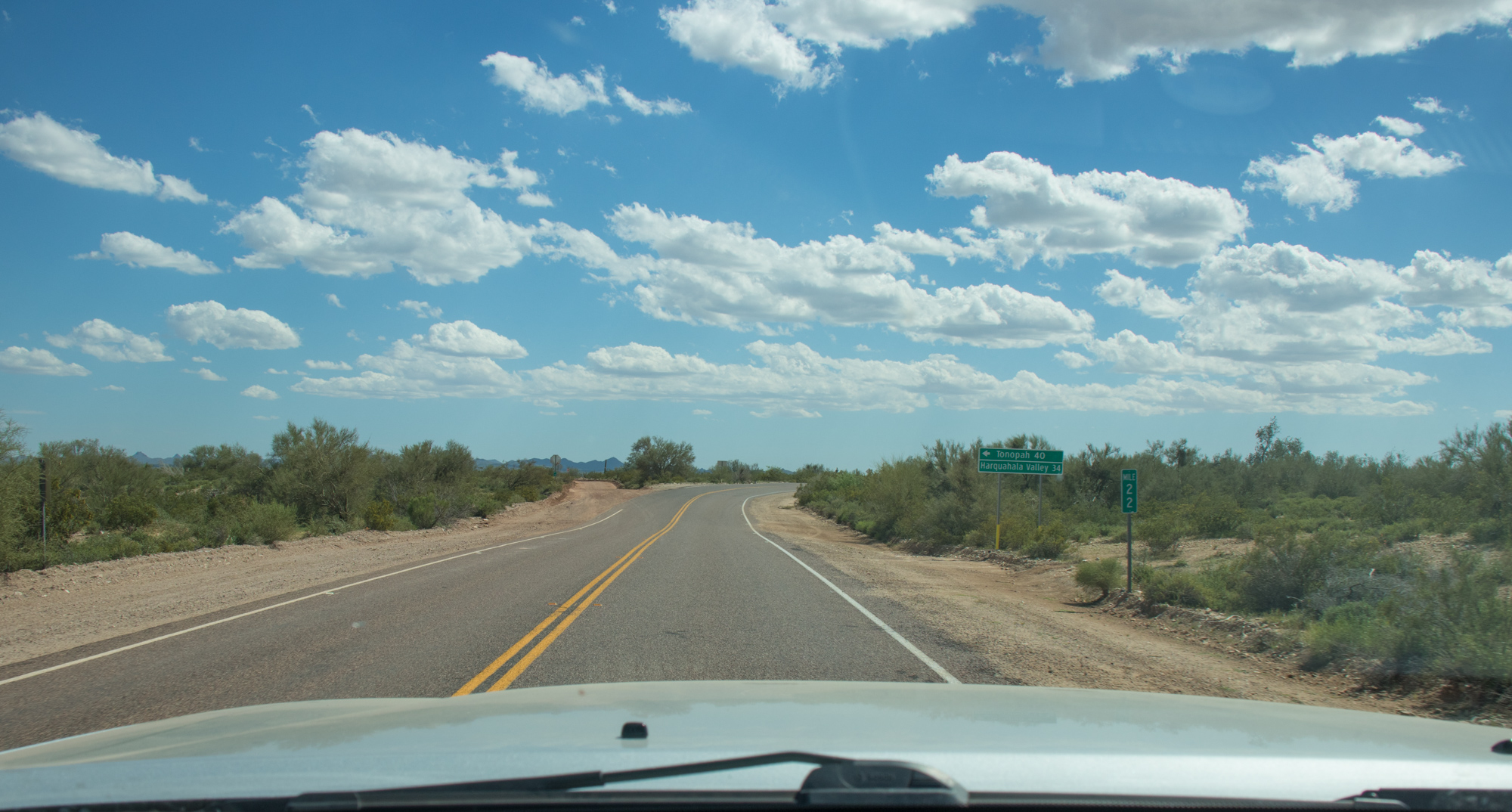
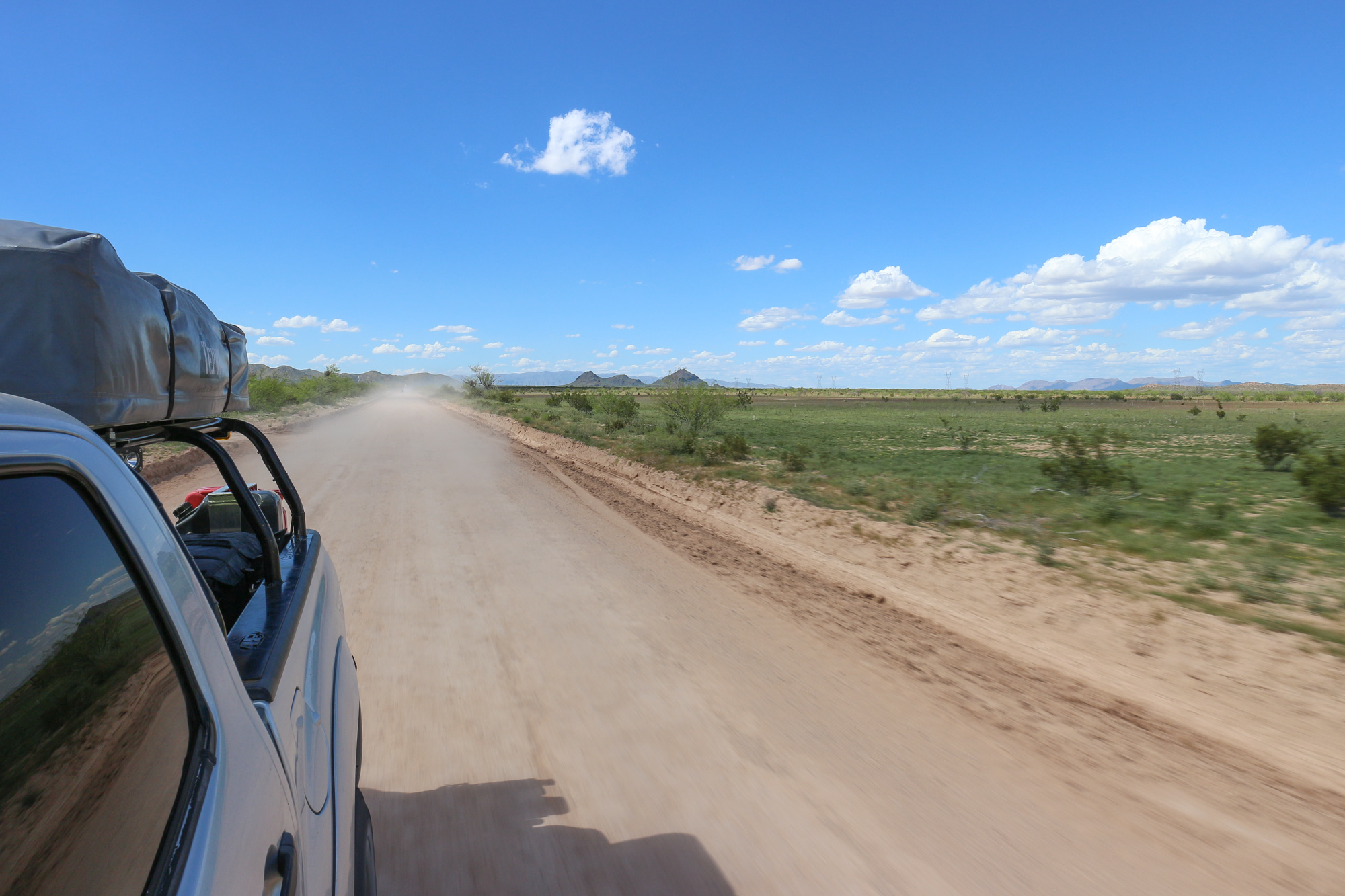
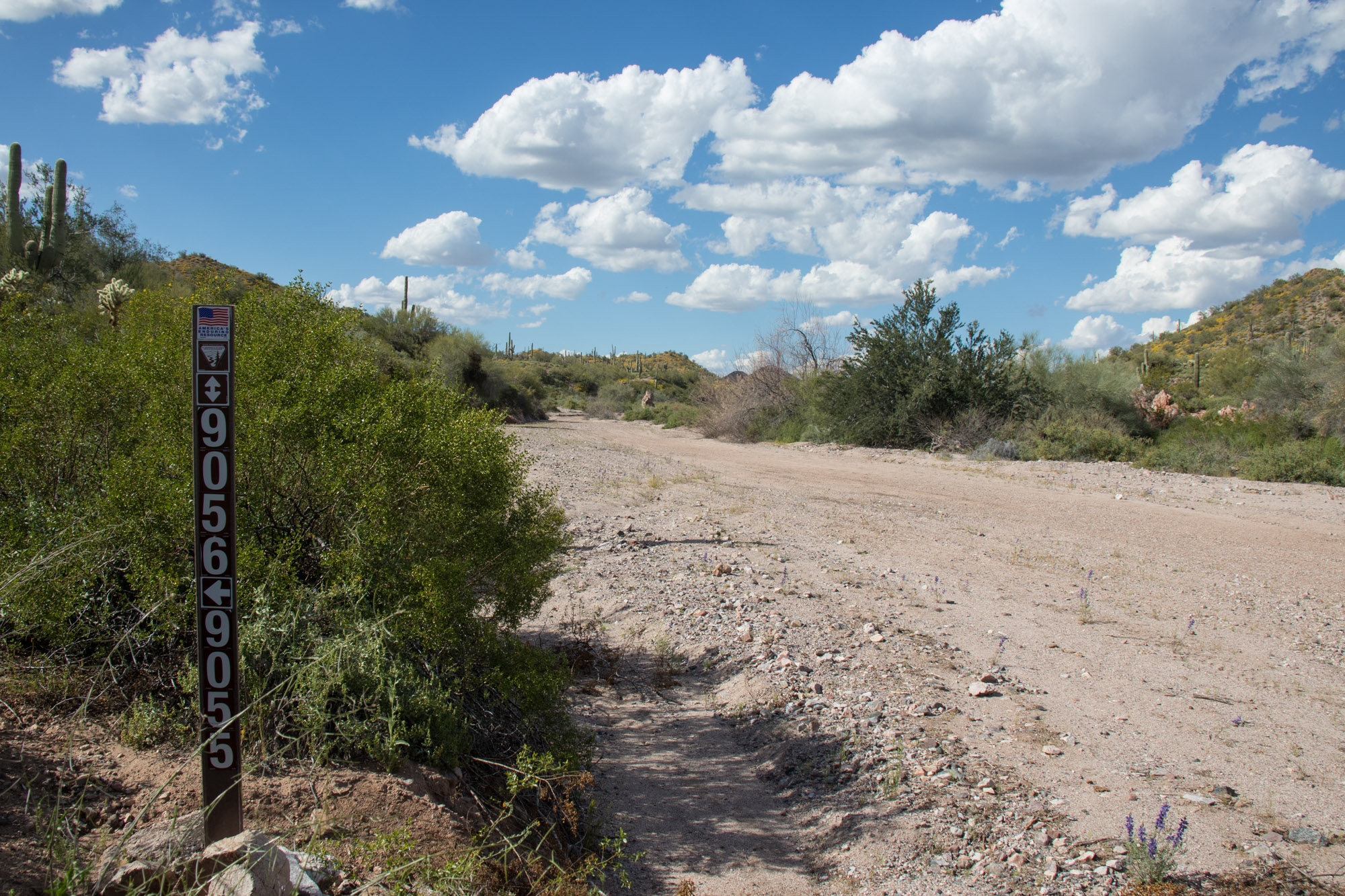
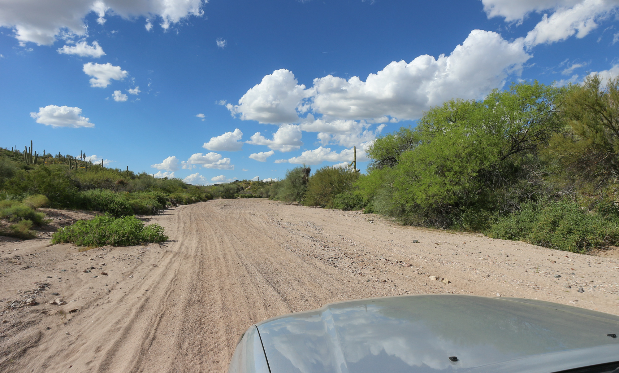
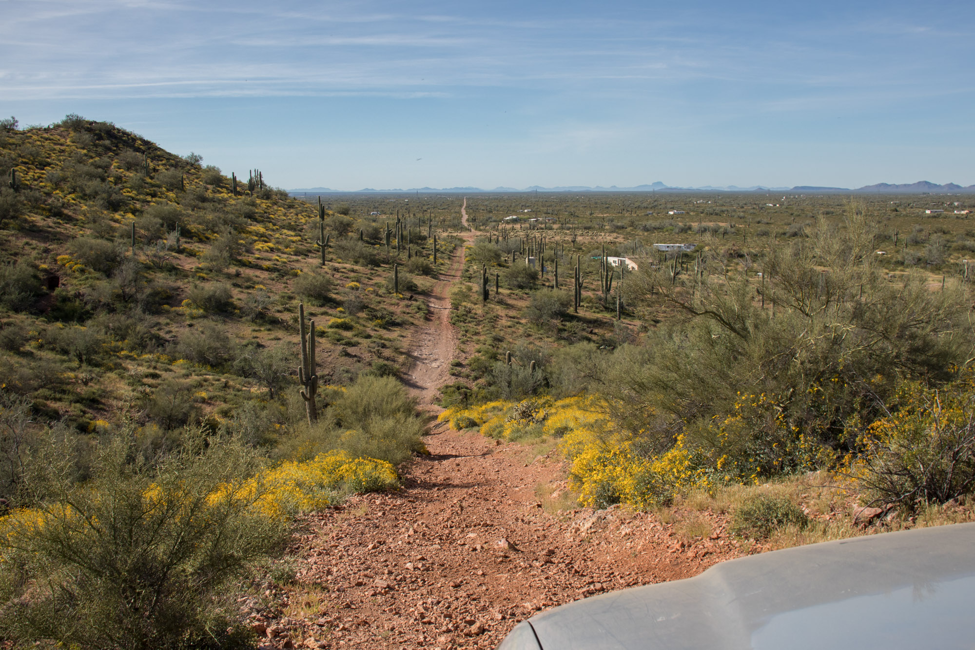
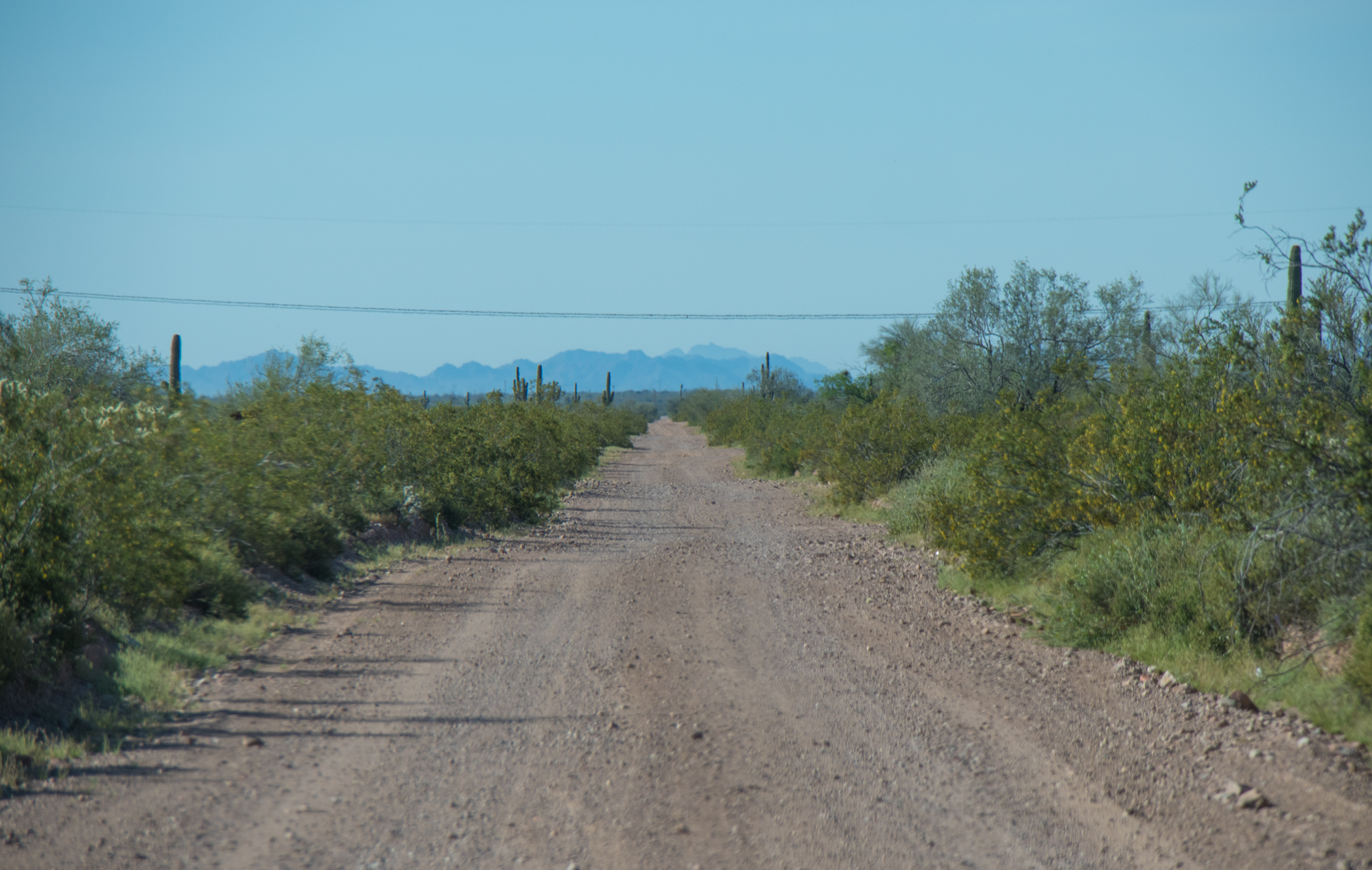
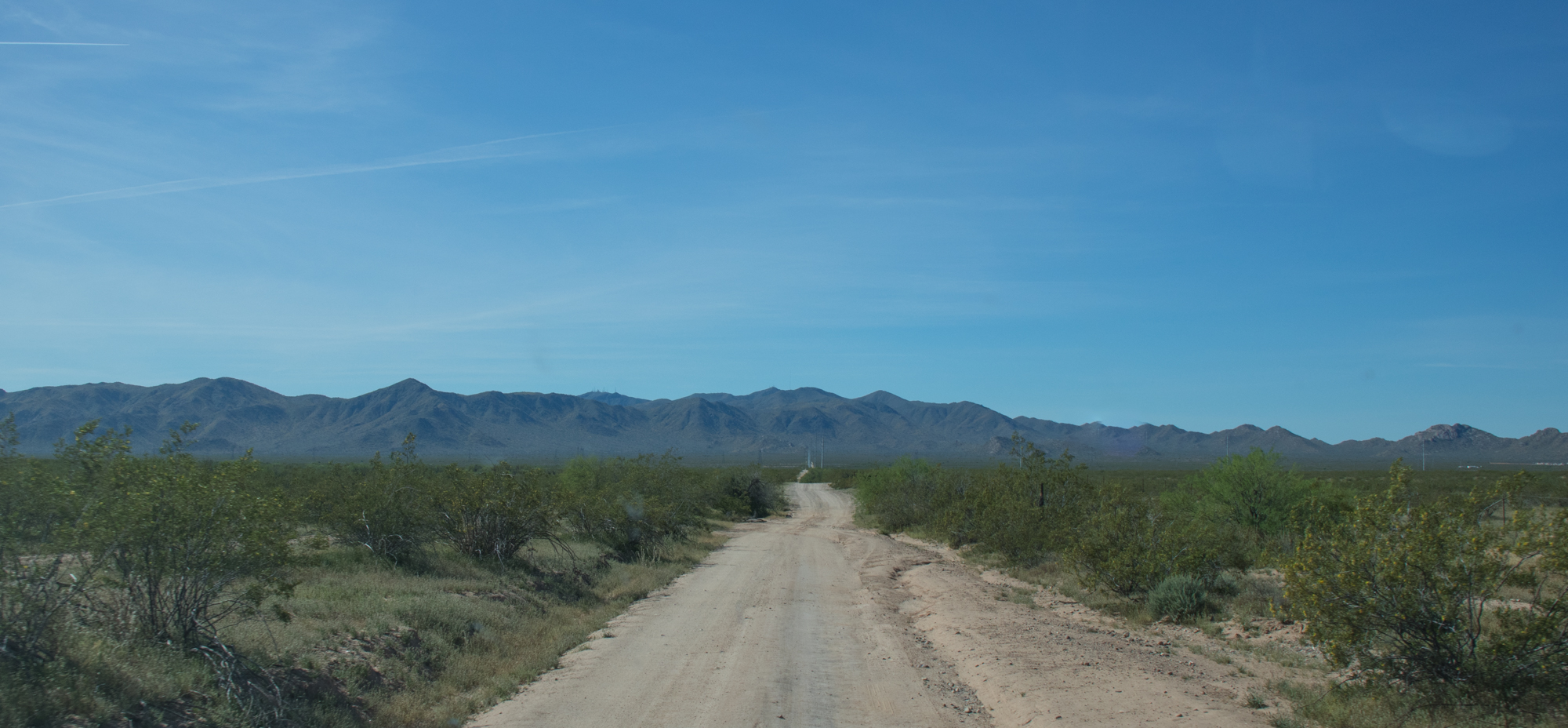
We ended up having to backtrack quite a bit in order to get to our next destination and situate ourselves closer to Richard and Haley’s house for Sundays return. Just a few miles back up Eagle Eye Rd, we made a left and were once again on Aguila Rd. Miles of smooth graded road was relatively uneventful but did provide a great way to cut across the desert floor.
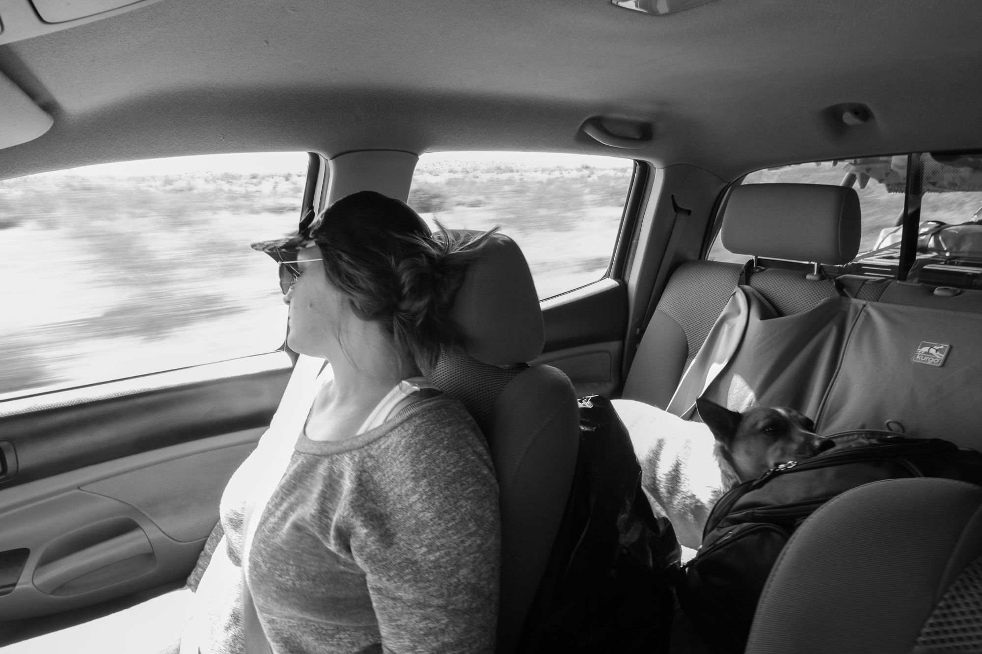
Apparently the graded dirt, flowing corners and twenty something miles made for satisfactory conditions for a quick nap…
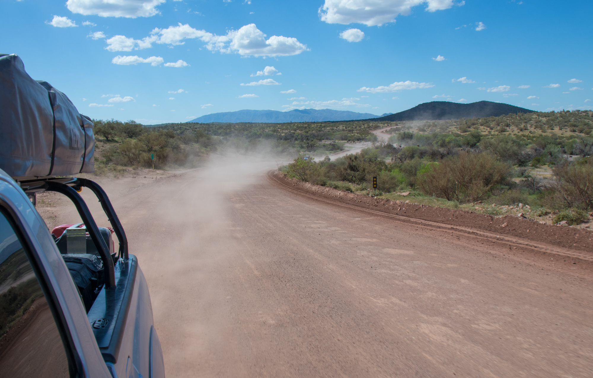
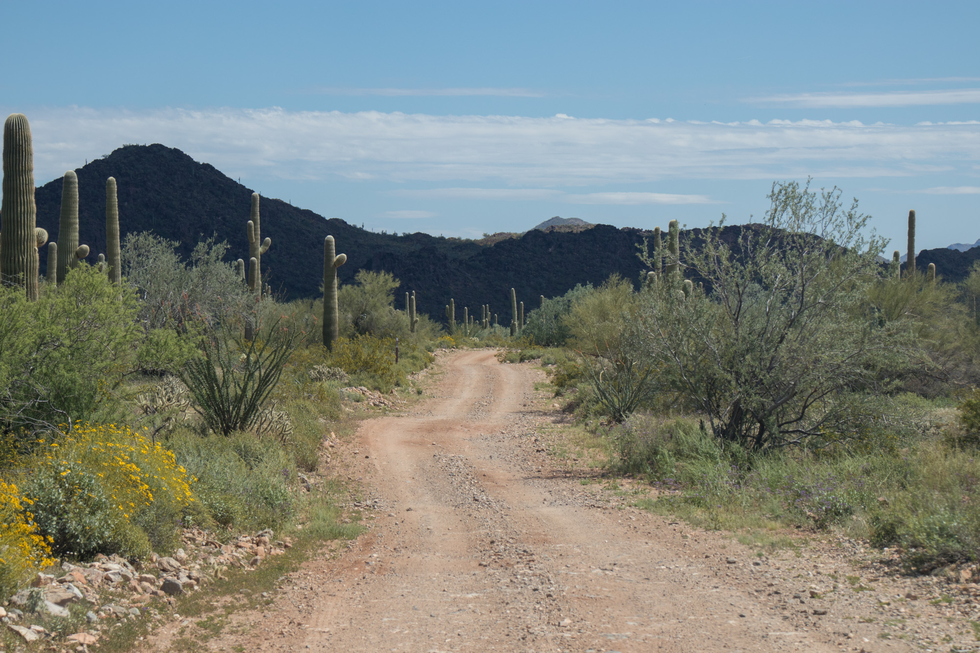
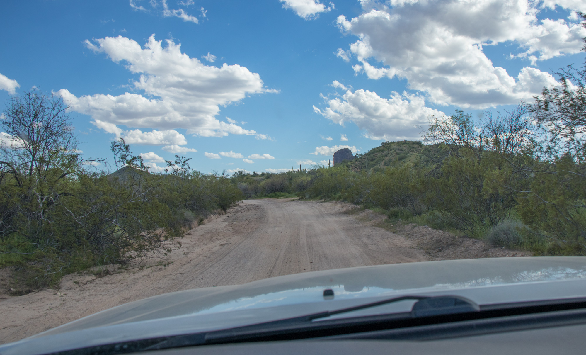
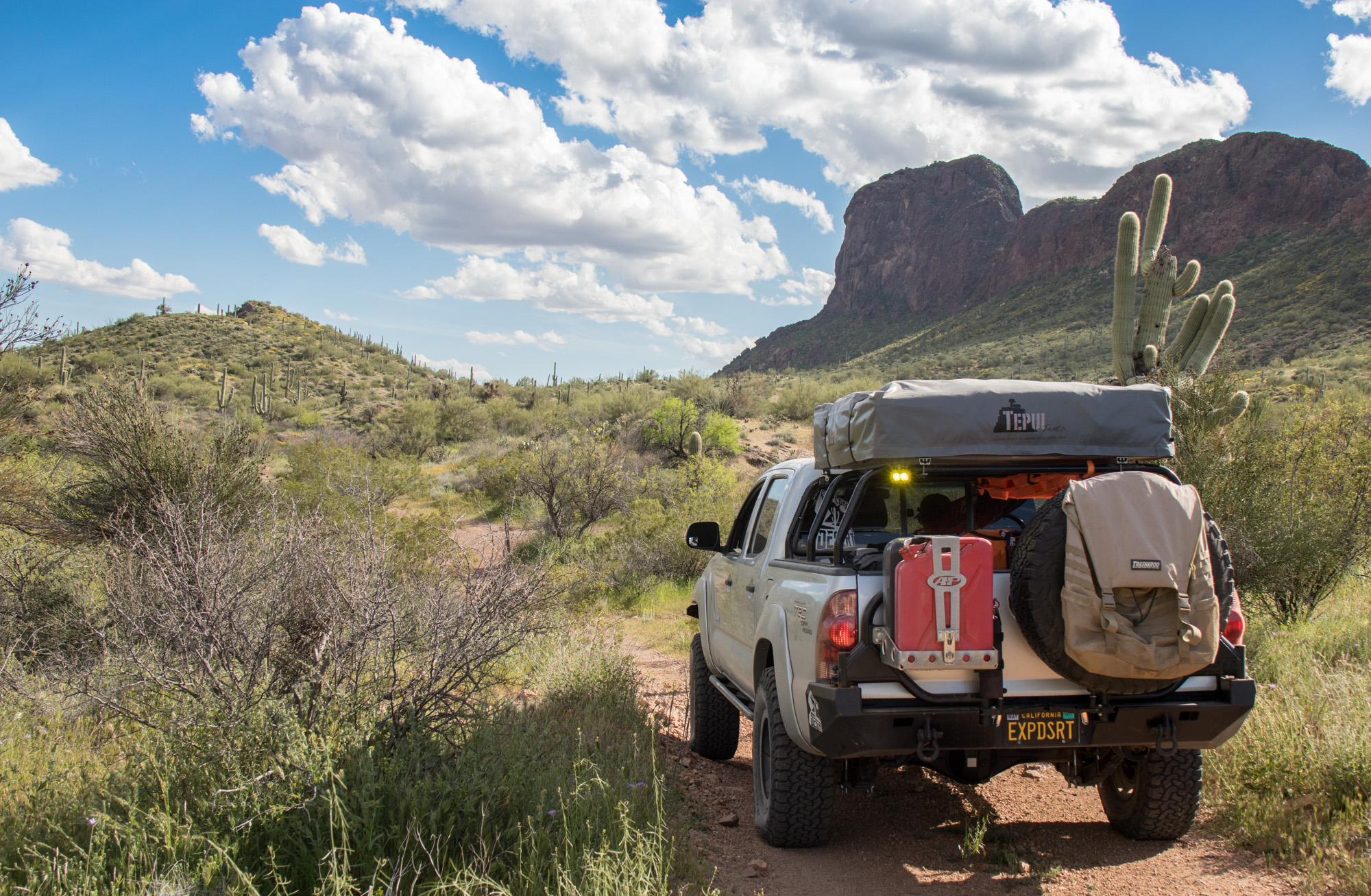
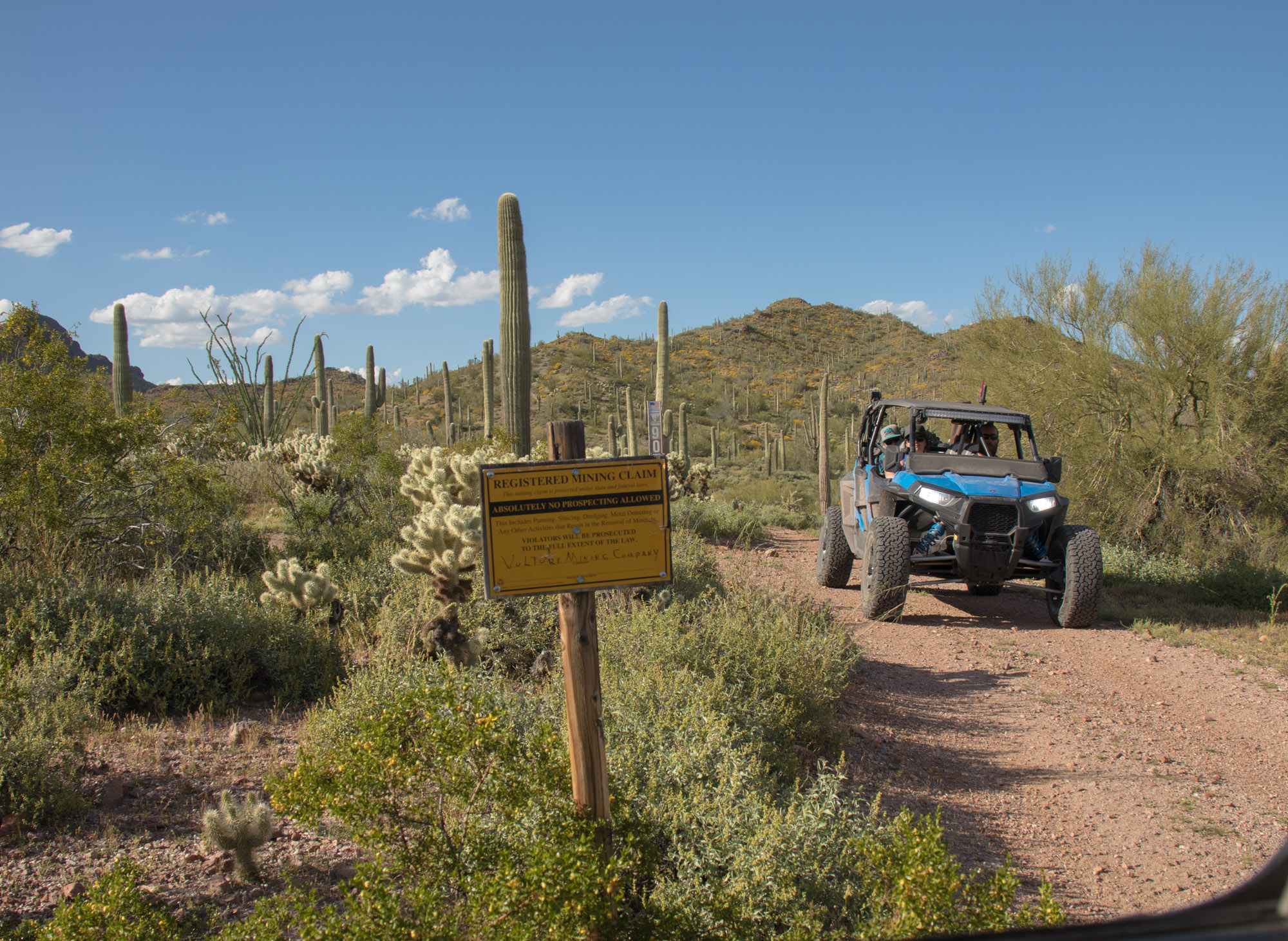
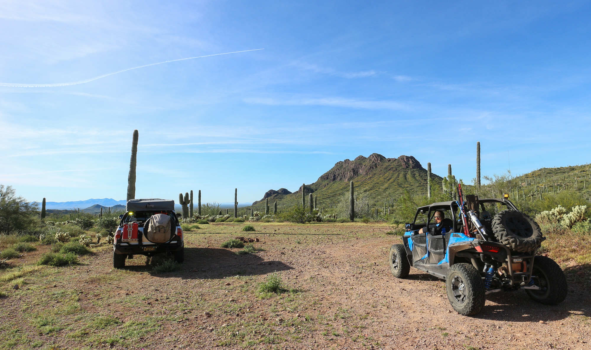
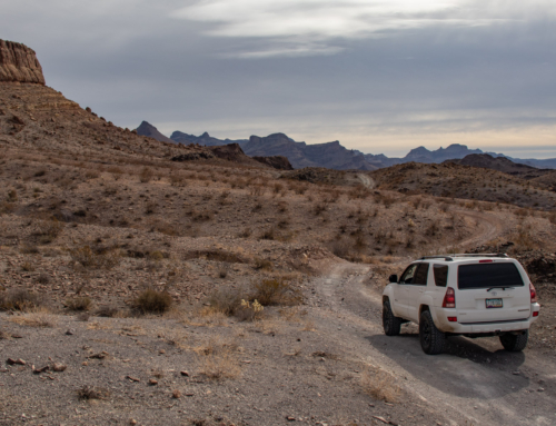
Made a left pointing us north and set our sights on the Vulture Mountains. Directly across from the Vulture Mine we reconnected with a series of BLM trails through the mountain range.
Took a trail that took us up on the west side of Vulture Peak and found a great place for lunch, minus the jumping cactus…
Vulture Peak in the distance
Back on the trail, we began make our way around to the east side of Vulture Peak where we would find a suitable camping spot for the night.
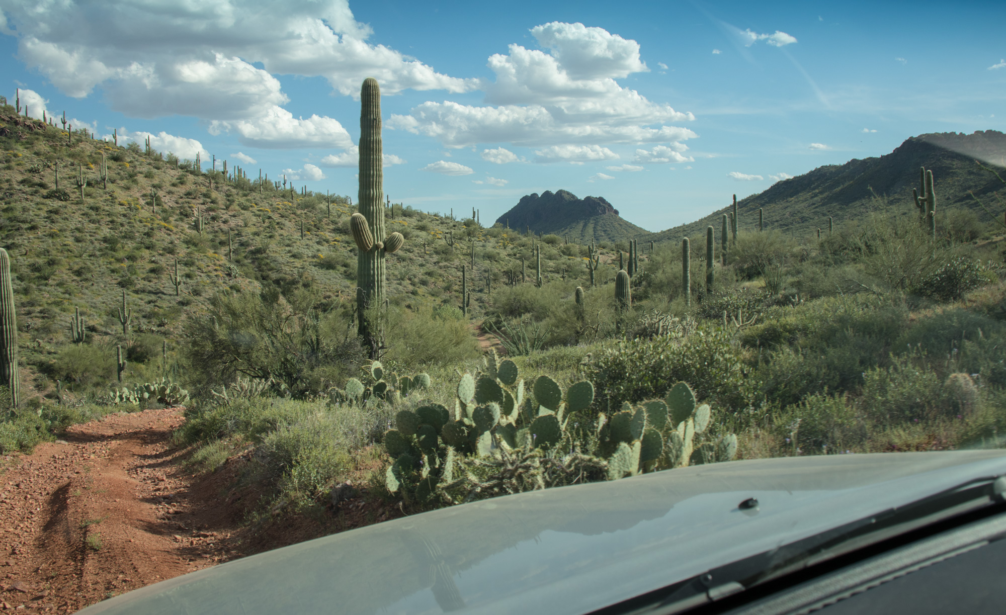
Short little section until the next dirt segment. If you’re ever in this area, it’s wise to purchase a Arizona State Trust Land permit as it’s a mixture of it and BLM through the Vulture Mountains.
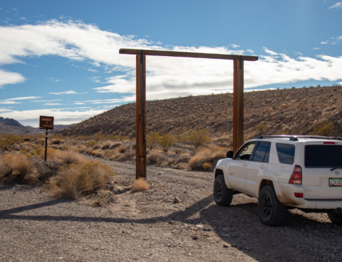
On public lands, you’re allowed through the gates. Just be sure to leave them as you found them.
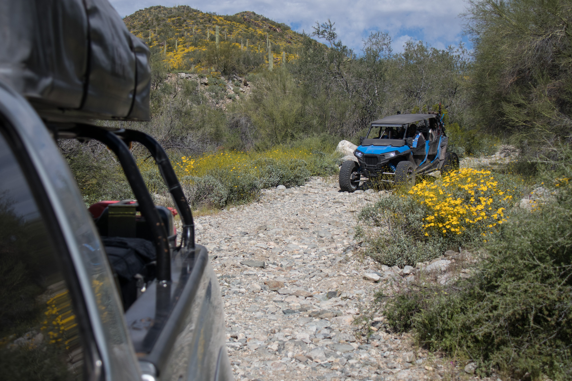
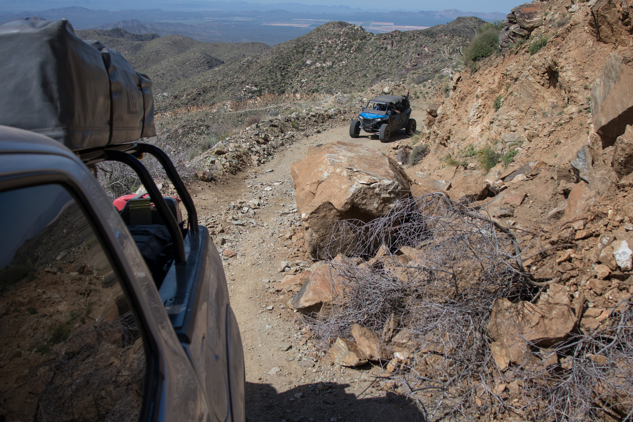
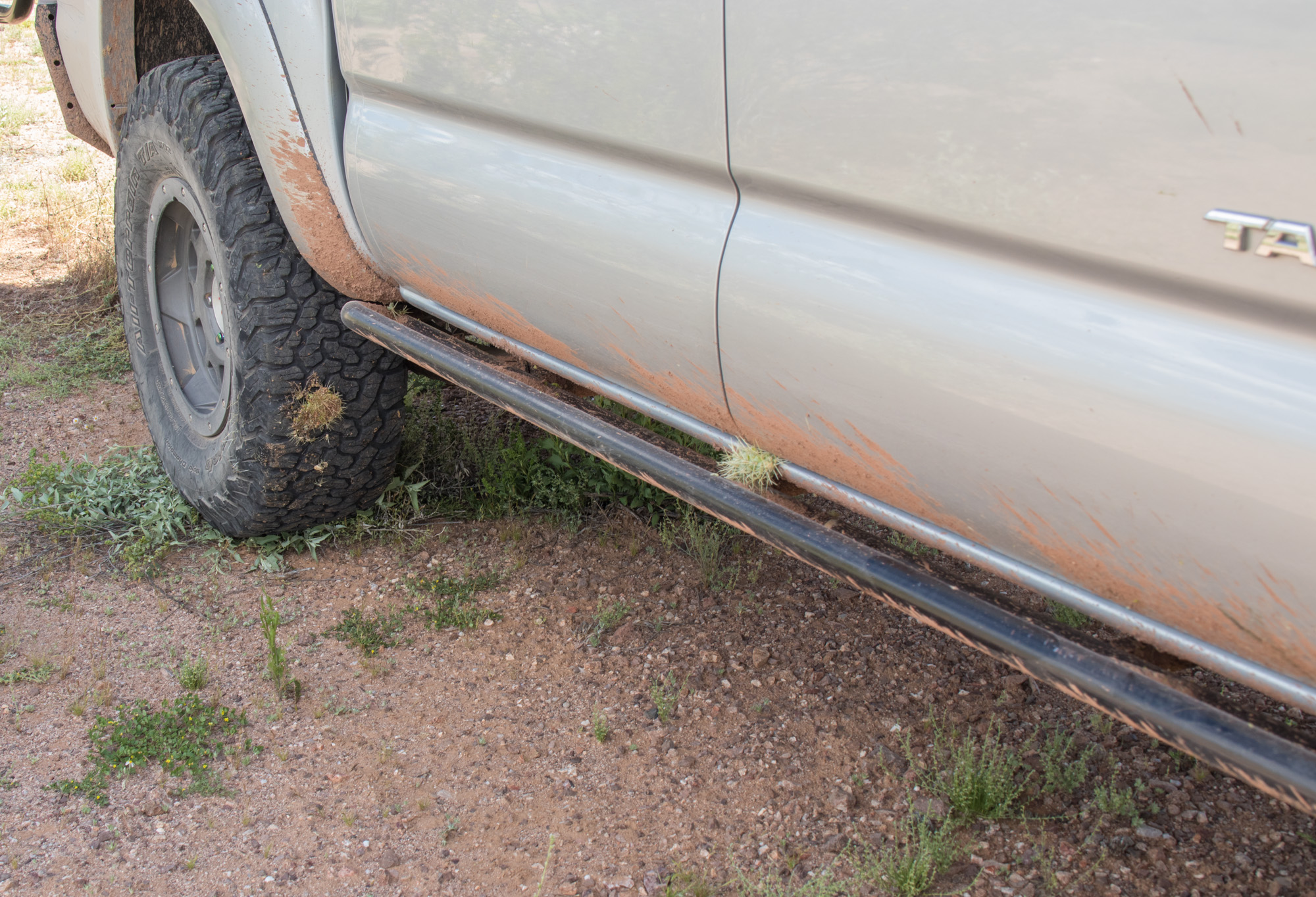
It gets a bit tight both trail and shrub wise, with a bit of rutted/rocky descents and climbs mixed in. Nothing challenging but 4wd and some ground clearance is needed. Expect some good a pinstripe or two…
A spot just south east of Vulture Peak ended up being home for the night.
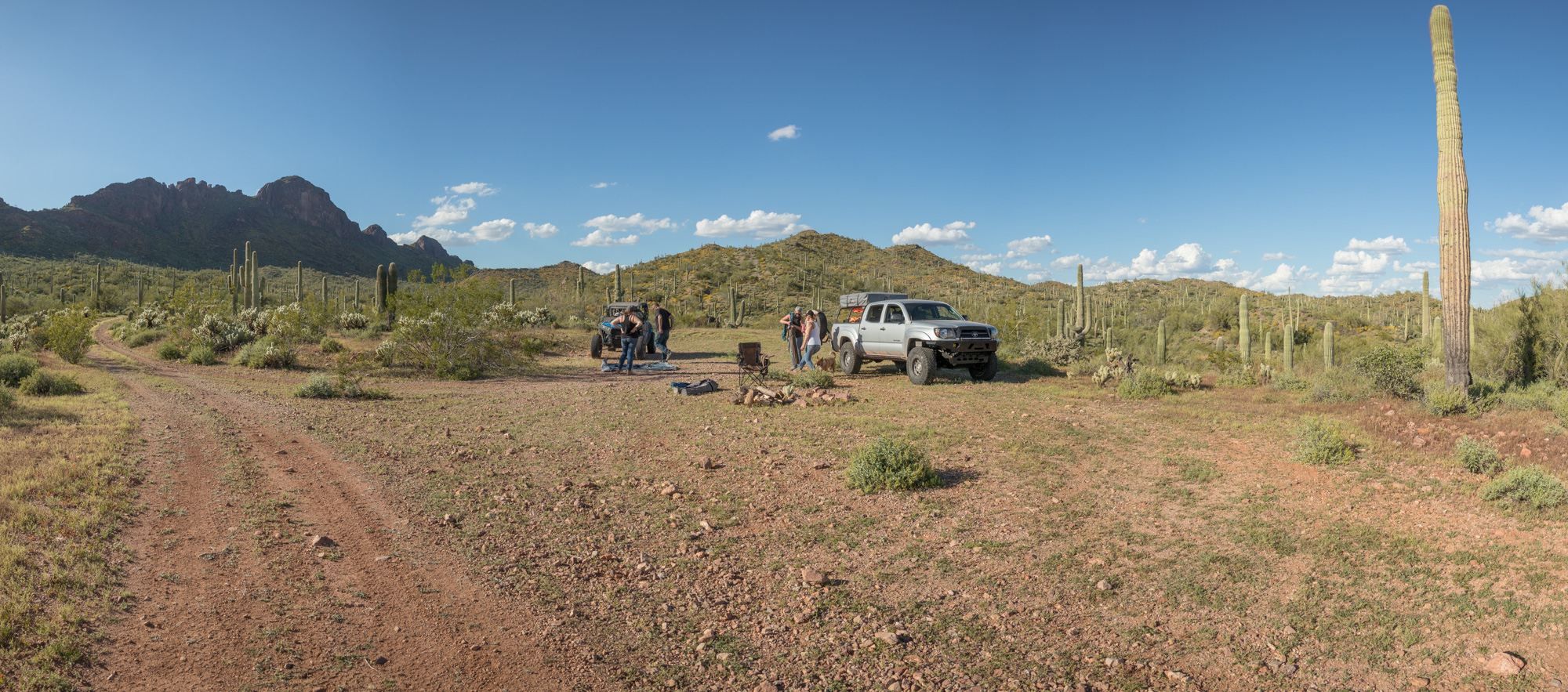
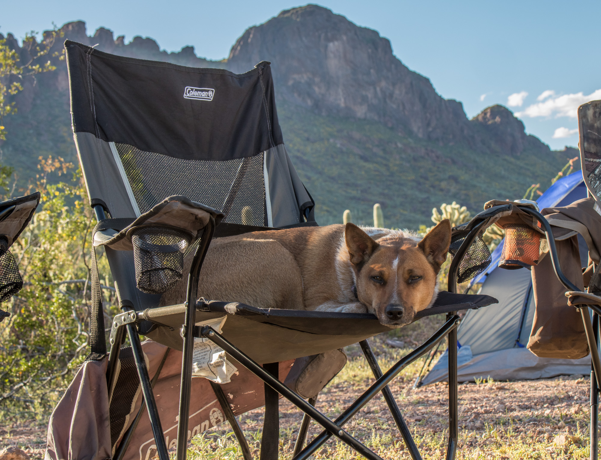
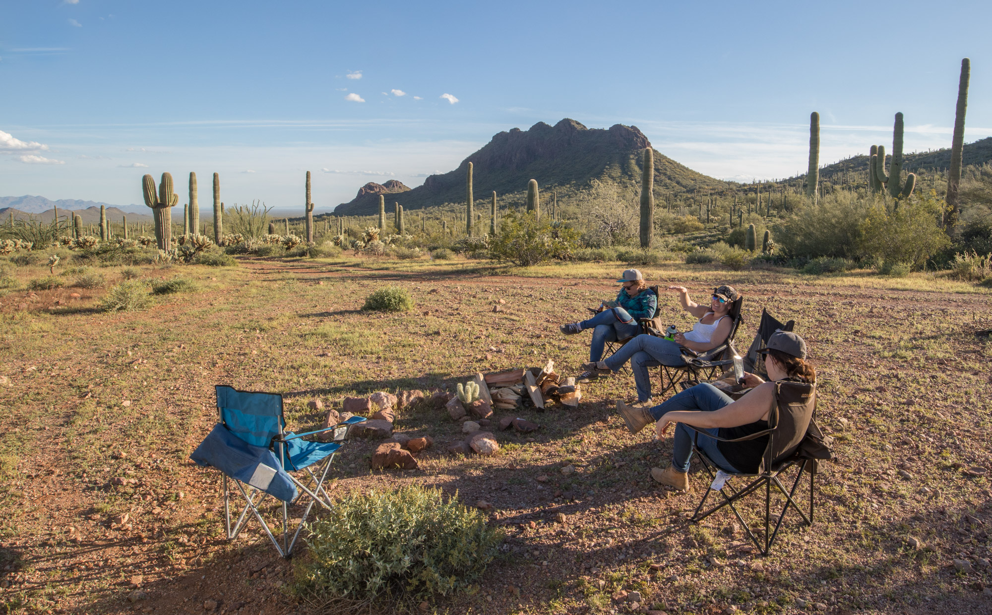
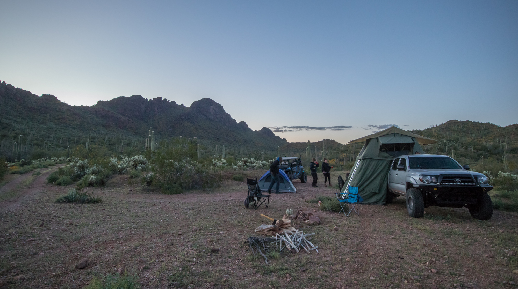
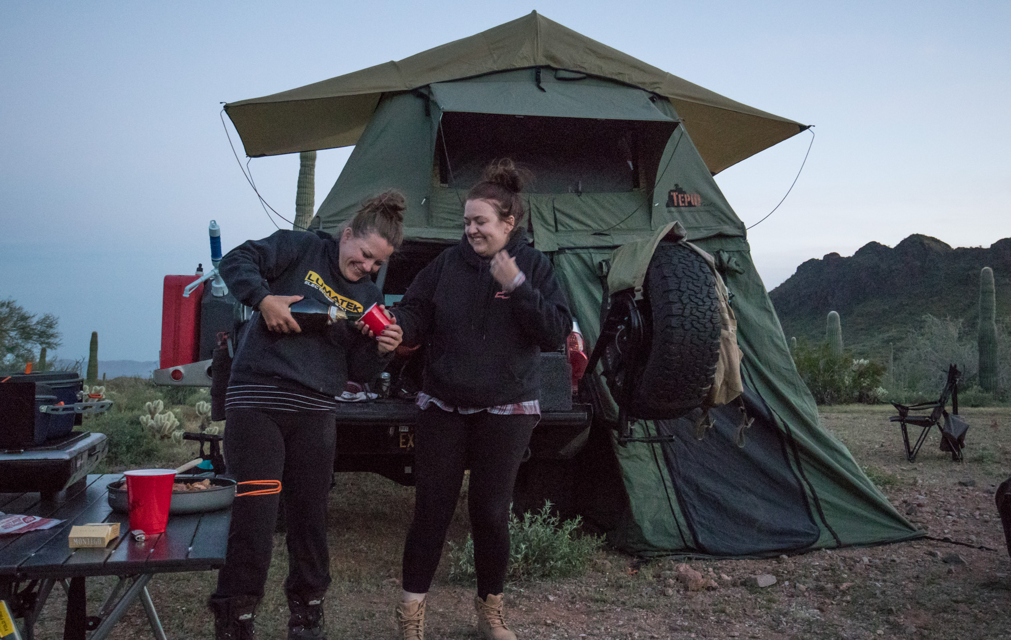
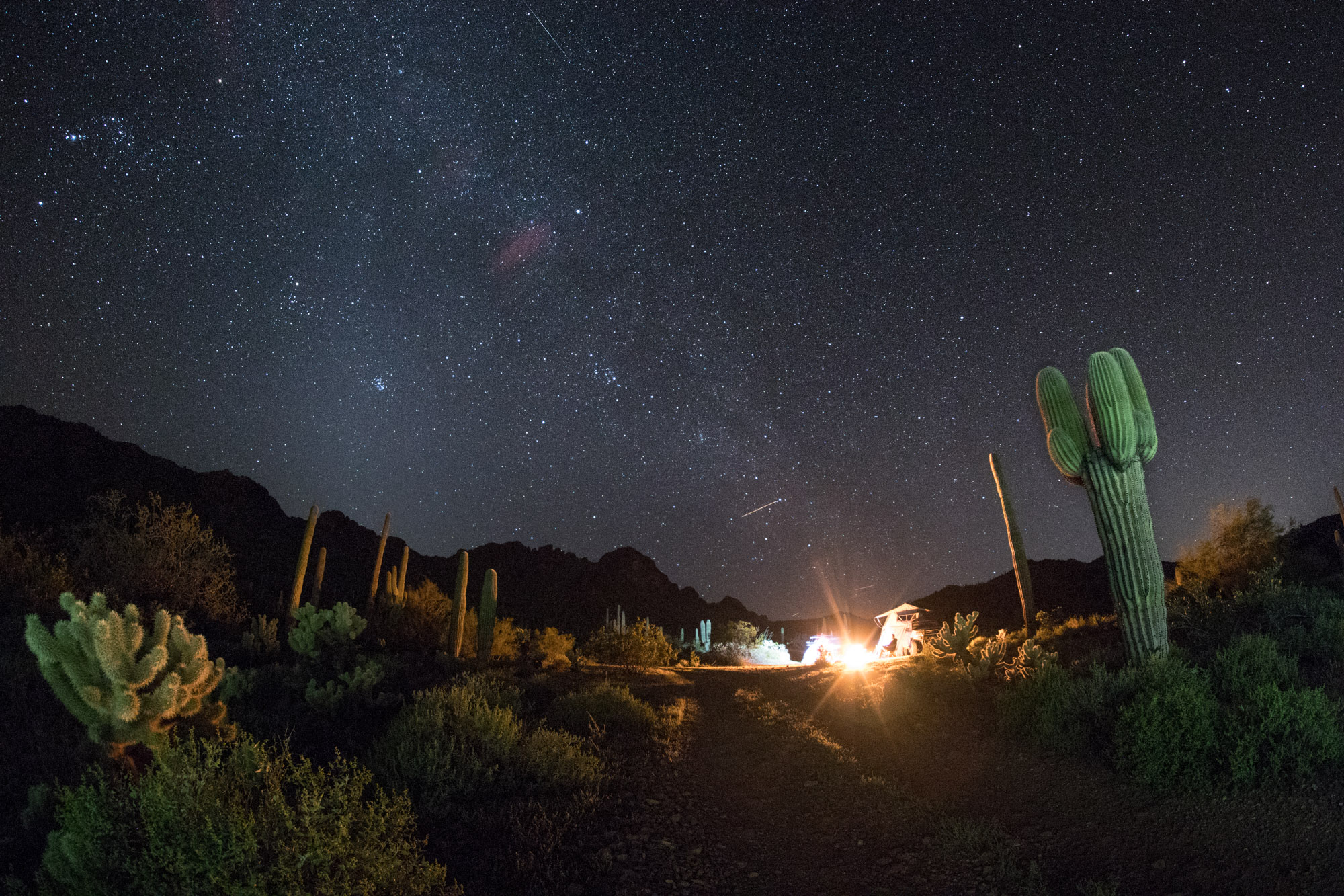
Once the sun went down the bubbly came out, dinner was served and campfire lit. Another perfect night under the stars.
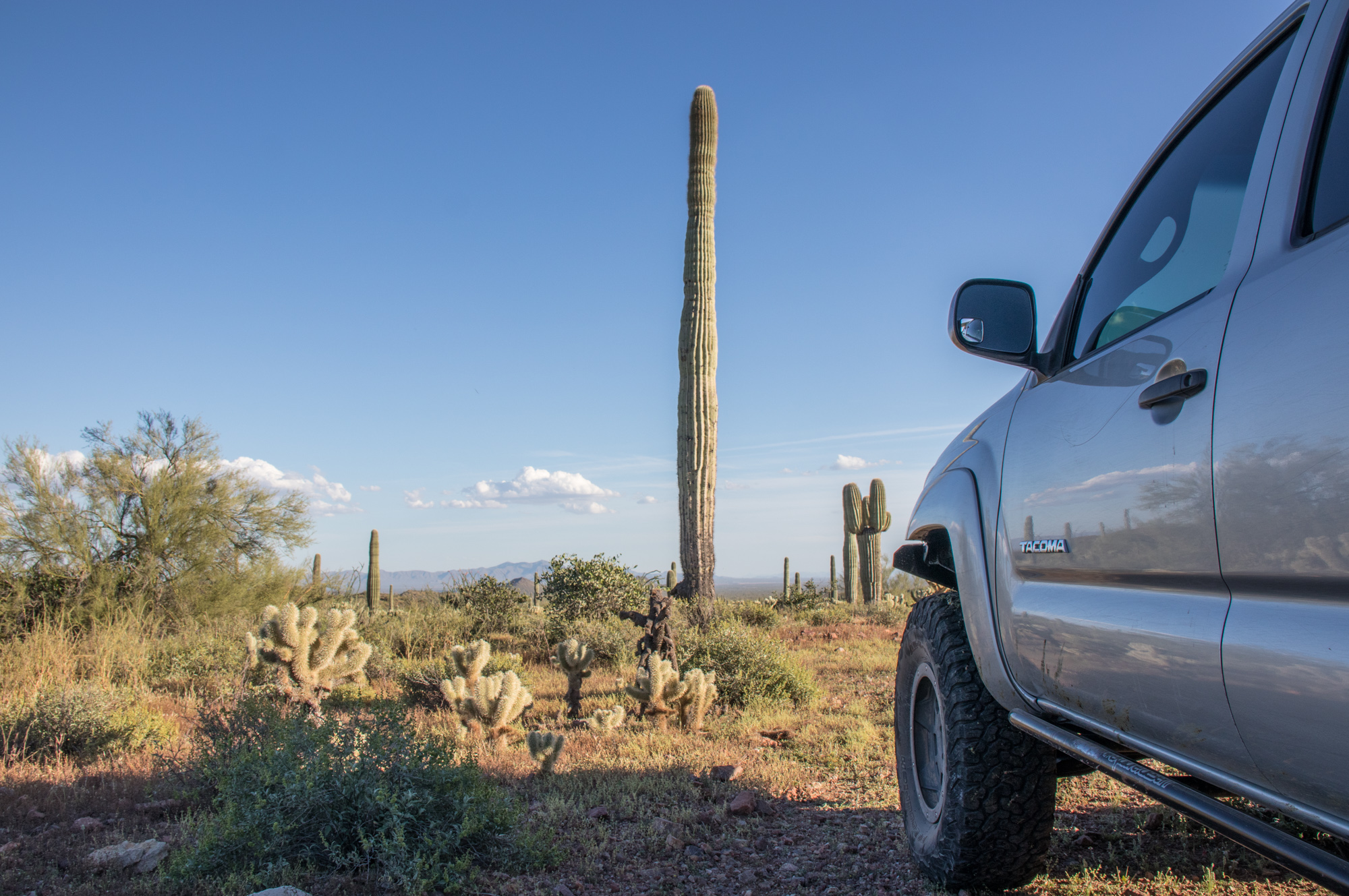
Morning came way too early. Not only that, we ran out of propane and no way to make coffee. The horror. In a zombie like state, clean up and camp tear down slowly took place. Civilization was only about 45 minutes out and we’d be able to sit down for breakfast and say our goodbyes there.
Cresting over a small hill it was apparent we were close to being on our way back home. Drove south to W Peak View Rd where I just had to make a slight detour…
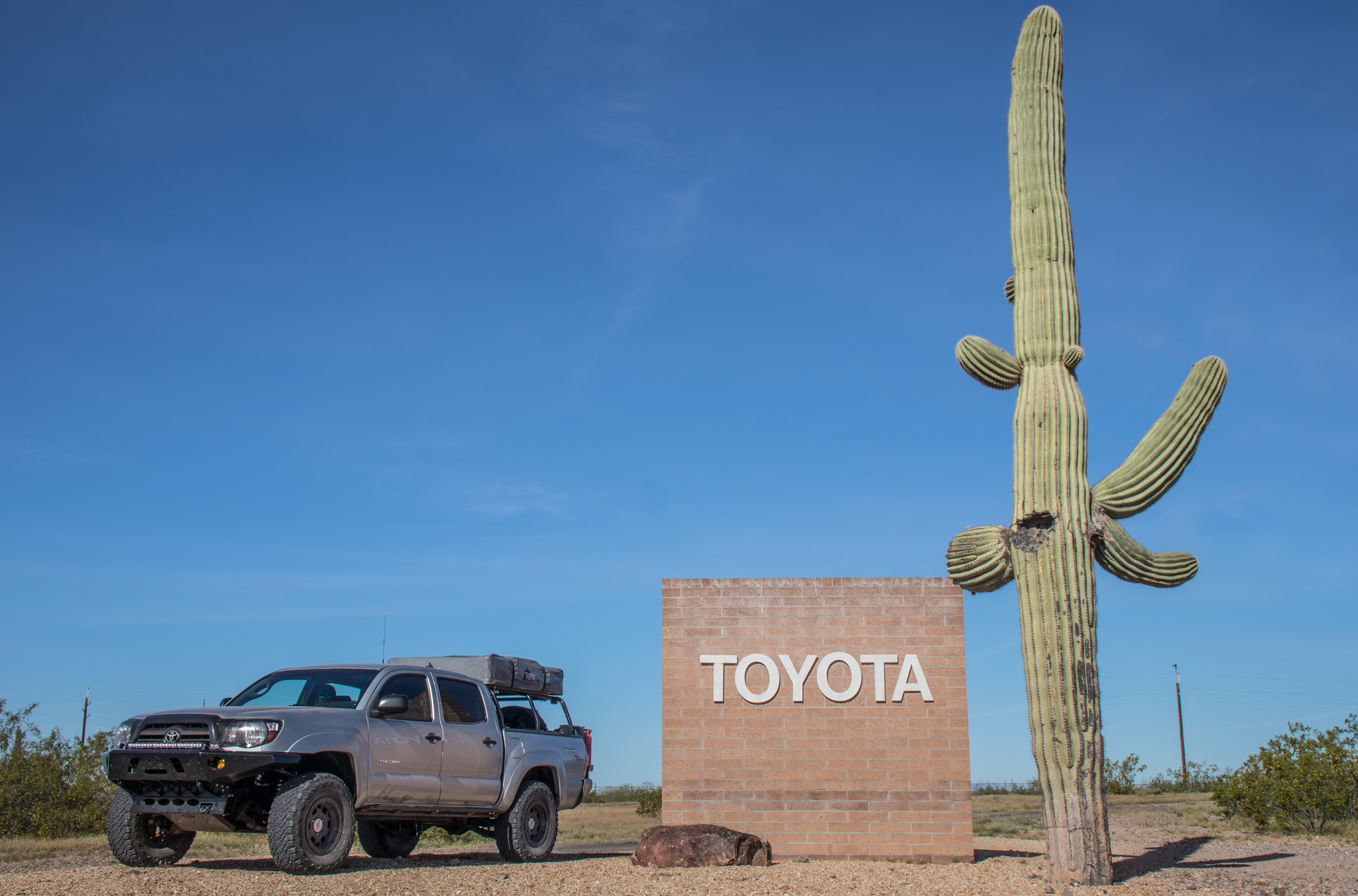
…to visit the Toyota Proving Grounds! Absolutely ecstatic to get a picture here, haha.
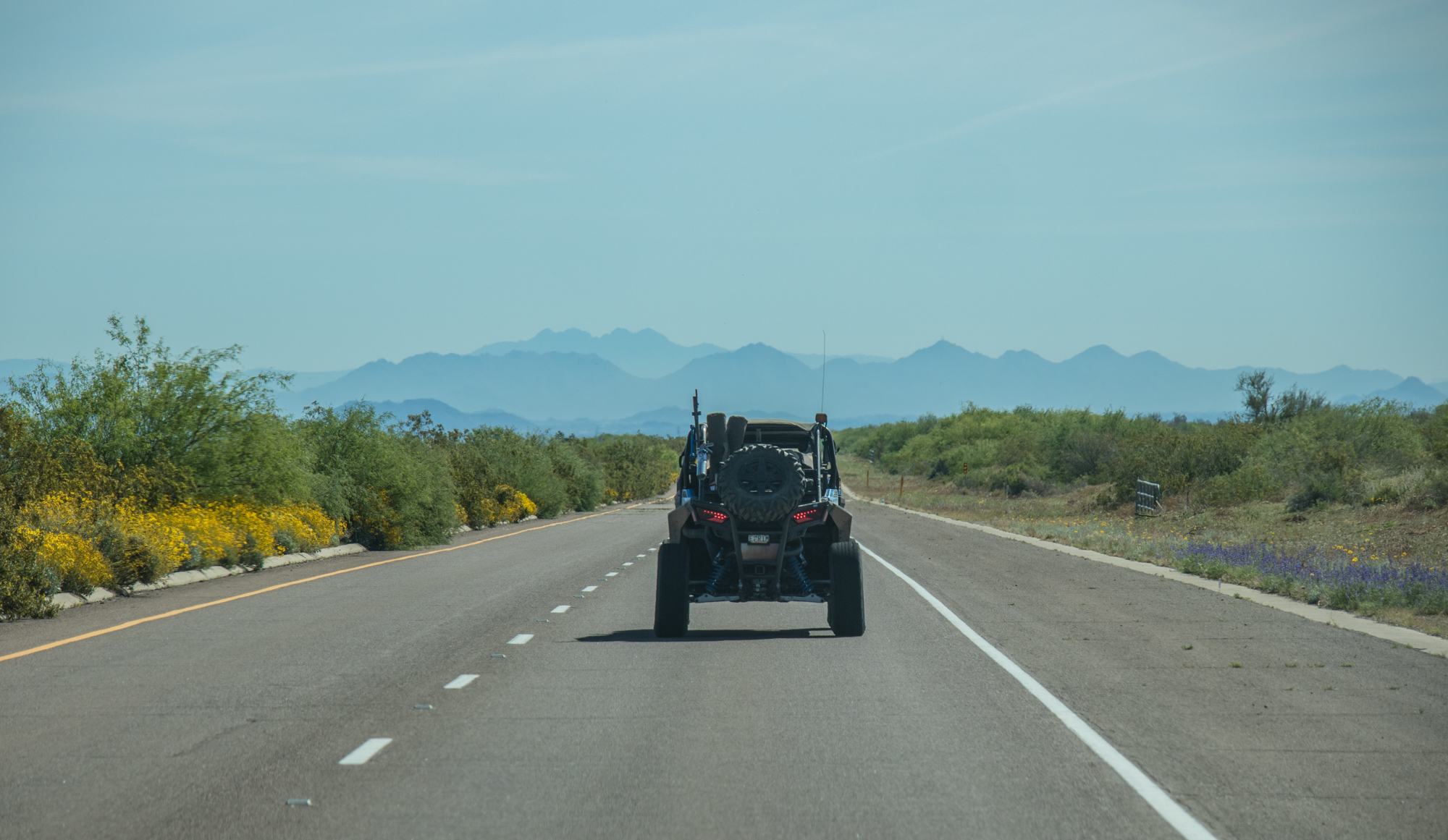
Our last section of dirt was to cross over to Sun Valley Parkway so we could drive into Surprise, AZ. Once on the highway, followed the Rzr so they could set the pace and lead us to a breakfast joint they knew about.
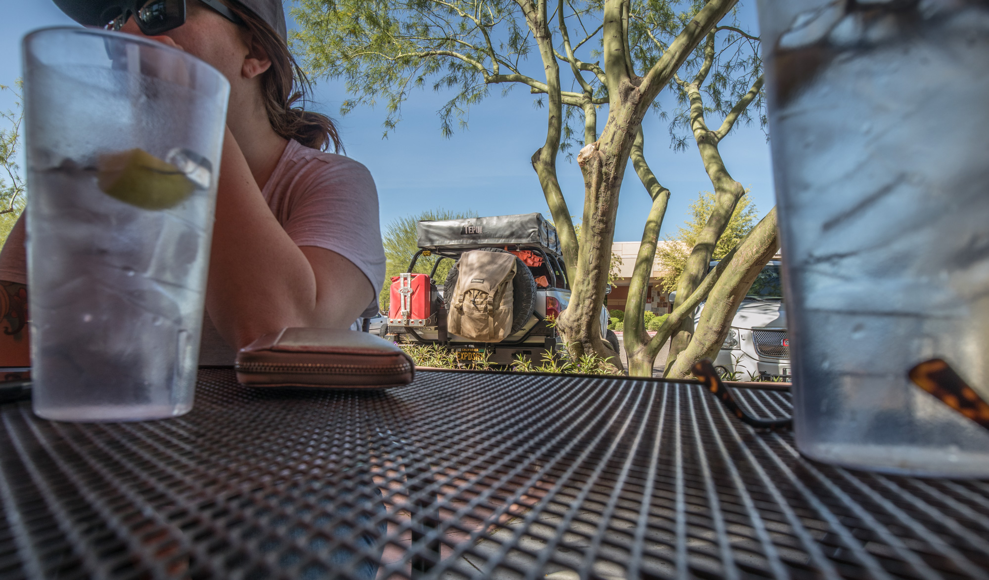
The place was great and worked out perfect. Reminisced about the all the good times over the last couple days and said our farewells for the time being.
Until next time!
Leave A Comment