
Awoke to a beautiful morning, and a fresh glimpse of the valley we traveled during the night.


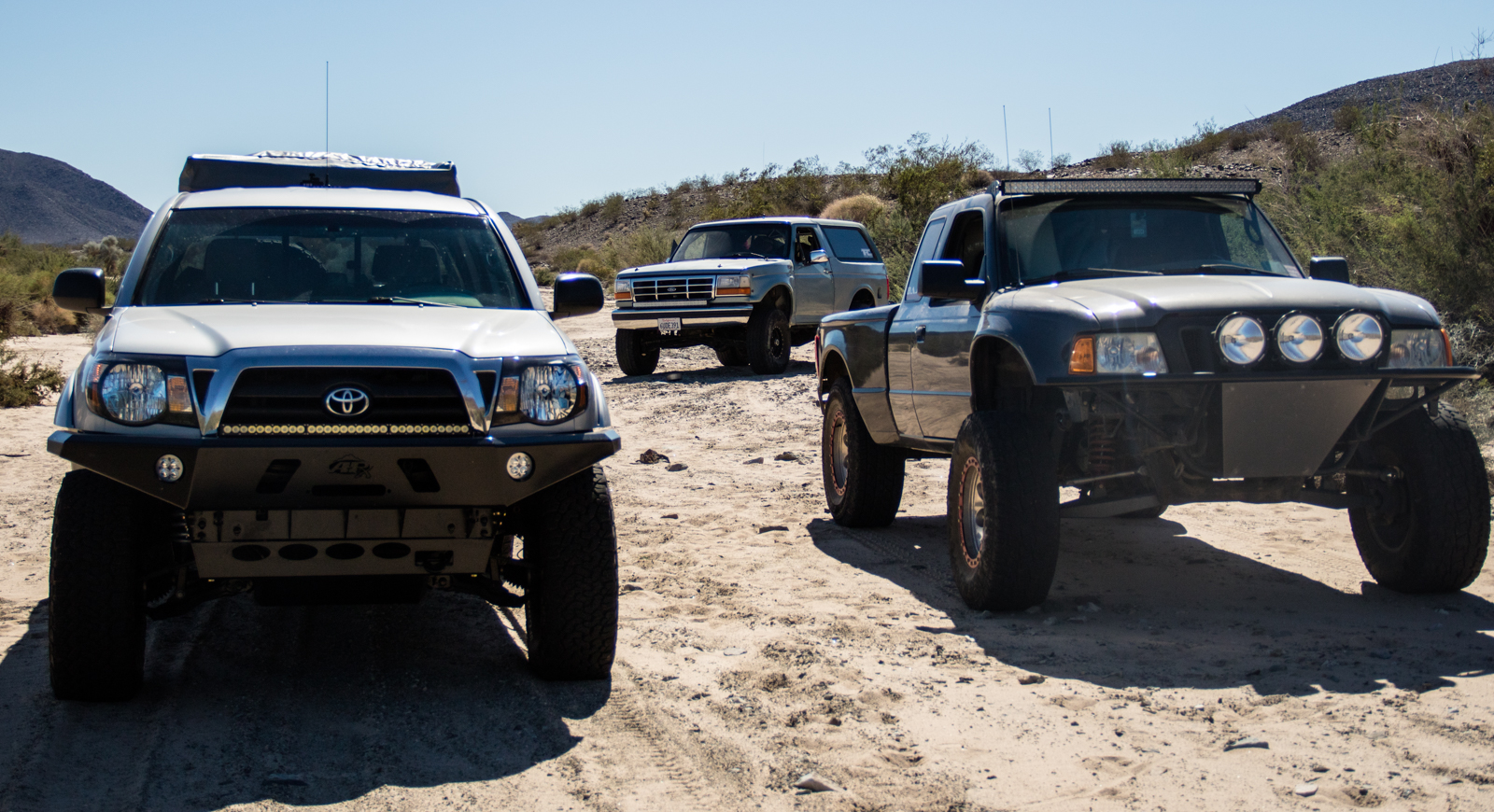
As much as we wanted to stay and enjoy the solitude and cozy atmosphere, we had to get moving. Ahead was riddled with unknown trails, questionable terrain and a tentative arrival around sunset. Our first obstacle would be the Brooklyn Mine Trail. If you happen to have read our previous Old Dale trip report, Candace and I traveled down the rocky shelf road earlier in the year. This time we would be attempting to go up. Here’s the catch; Sean’s Ranger is 2wd. Challenge accepted. With the Taco in the front, and the Bronco bringing up the rear, we figured we’d have options if things got interesting.


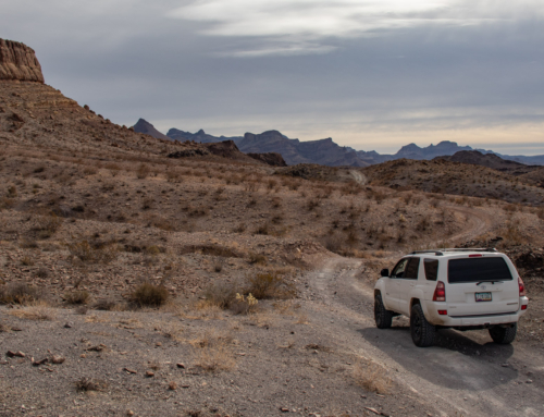
Surprisingly, Sean’s Ranger did way better then expected. Couple hairy sections that required a bit of speed with no margin for error, but ended up fine.


Explaining the history and importance of structures like these
A quick stop at the OK Mine structures before leaving the false safety of the known. From this point out is where the real adventure begins! The mining structures reside at the top of mountains, which meant we had to tackle one more shelf road to gain access to the desert floor.


Finally, at the northern portion of the Old Dale Mining District, we would head to the most eastern part of the area accessible by vehicle before reaching the Pinto Mountains within JTNP.


Been to quite a few desolate areas in all the years I’ve been going to the desert, but none have felt quite as remote as this. I’m not sure why, and it doesn’t make sense considering we were technically surrounding by well traveled highways and one of the most visited parks in Southern California.


Eroded roads through the Iron Age Mine meant taking a bypass through a wash. The soft sand was a welcomed changed after miles of unforgiving rocky, narrow, steep and slow going terrain. Was also a great spot to take one last break before getting on Hwy 62 toward Rice Rd.


Having to resort to pavement is never a good time when trying to accumulate as many dirt miles as possible. But sometimes, you gotta’ do what you gotta’ do. Eventually, grit and dust would be had again. Heading south parallel to Rice Road, a forgotten and disappearing trail pointed us towards Palen Pass and the McCoy/Rice Valley Wilderness.


The trail looking up towards Palen Pass from Rice Rd.


At the top of Palen Pass, we stopped for lunch near a old rock structure. Not much in the form of history can be found about these parts. From what I’ve gathered, it was a key location for General Patton to exercise tank training during WWII and expose troops to the climate they’d experience in the North African Campaign. Tracks, bunkers and ammo casings can be found throughout the area. We decided to make use of the open flat spot to eat lunch and plan out the remainder of the trip. About this point, time and remaining fuel where starting to play a factor. There was still a lot of miles between us and Parker, so the break was short lived.


From our lunch spot, numerous washouts and impassable routes slowed us to a snails pace.


Dropping down out of the Palen Mountains, we picked up speed once again on the desert valley. Unfortunately, gas and time restraints cut the trip short. At least a couple hours and 50+ miles to go, and our fuel gauges weren’t in agreement.


Little Maria Mountains
Decided to cut through Midland and end the days travels at the Rivera in Blythe, right on the Colorado River. While I try and keep as far away from a campground as possible, this time it worked in our favor with the park being nearly empty, front row spots and tons of grassy area for the kids to run around on.

Sunday morning we all decided to take the Bradshaw Trail back, then head south to check out Salvation Mountain. So we did, and made a great way to finish off the trip.


Until next time.
Leave a Reply