

Once again, out to the parents – this time to spend Thanksgiving with them and some family friends. The week prior, Bravo reached out to me asking if I had any plans over the weekend which I didn’t really… It had been a couple years since we’ve seen each other so I was looking forward to it.
I knew that I didn’t want to touch the Mojave Road as it would probably be packed with it being the holidays, and I’ve always gazed out the window on my route to and from Fort Mohave taking the back way through 29 Palms/Amboy wondering what was out there. So I put the two and two together and mapped out an adventure.
In the meantime, I was able to get Donald on board where we’d all meet at my parents house on Friday. Had a cool little reunion in the driveway since we all haven’t been around each other in who know’s how long. Pretty cool as we all went to highschool together and built my desert race truck in the garage over the course of years.
Anyways, I planned a route throughout the Sacramento Mountains, Stepladder Mountains, Turtle Mountain Wilderness, Mohave Trails National Monument and the Cadiz Dunes area. With nearly all of that being protected wilderness areas, mapping was sort of a challenge. Not only with many trails being blocked off/restricted, but also the lack of options.
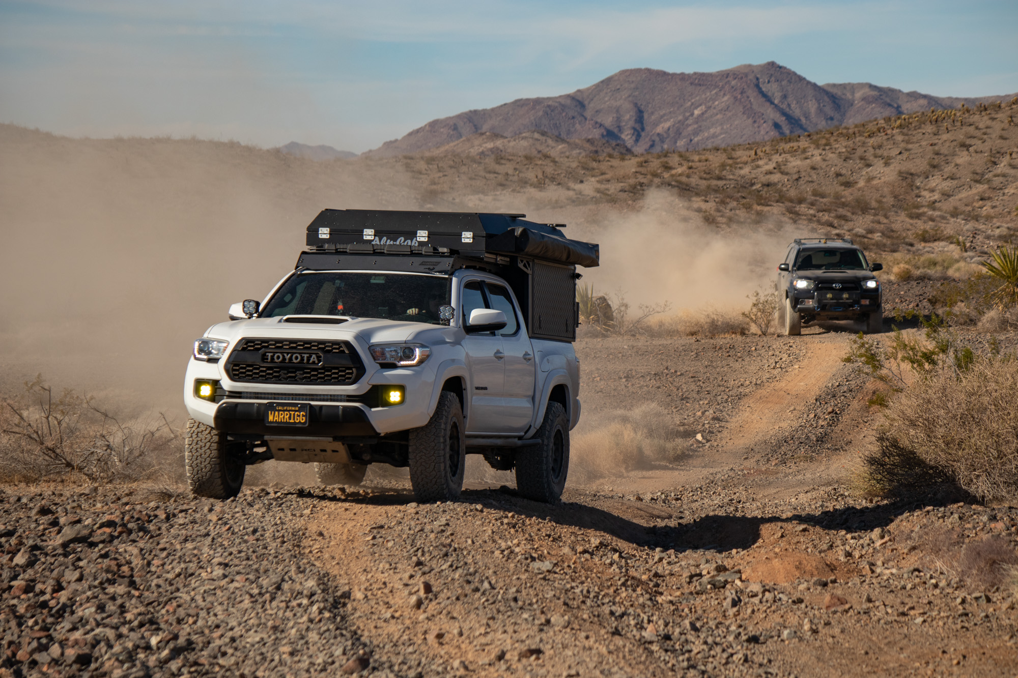
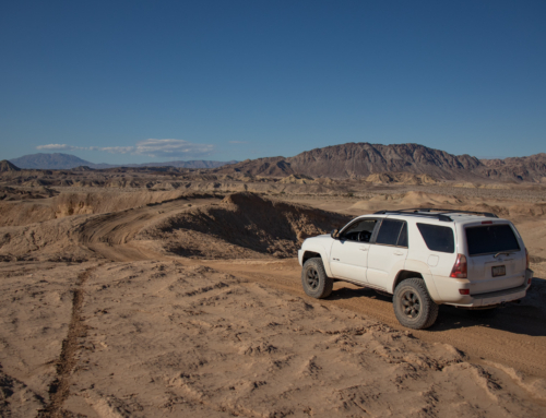
Took off and hit the I-40 east and exited at the 95 north going to Searchlight. Immediately hit dirt and got to airing down. Hacienda Wash towards Eagle Pass was smooth sailing. Feel obstacles but nothing crazy. High clearance and 4wd is more than capable.


Looking back towards the Fort Mohave area


Eagle Pass
Only on Eagle Pass for a short time, thankfully. Soft sand mixed with some fairly violent washboard/SXS bumps made for a not very fun experience. We cut out of the wash and headed west towards some powerline roads. Along the way there’s a old mining area with a few cars and foundations scattered around. Another group ended up pulling in at the same time as us and we got to talking for a bit with some like-minded folks. Believe they said they were apart of the desertexplorers.org group? Which is funny because this is ExploreDesert. Anyways!


Couple mines, cabins and relics along the powerline trail.


Camp for the night was going to be somewhere around the Lost Arch Mine mining camp. Made some quick work of a fun and smooth gasline access road into the Chemehuevi Valley, then cut south to meet up with Turtle Mountain Road. All was going good until cutting across… What looked to be a well traveled route/wash, which I guess it was, was encapsulated by miles and miles of mirror smacking and paint scratching vegetation. Absolutely brutal. Paint and clear coat suffered for sure.


“Pinstripe Trail”
Finally made it to open ground and close to a camping spot for the night where we’d be treated to an absolutely wicked sunset. Weather was perfect, no wind, just cool enough to be comfy by a fire and a sky filled with stars… Realizing I forgot my tripod was bummer times.


Morning we made our way through the area checking out the bit of history scattered throughout. Bummer to see the two cabins have succumbed to age and the elements.


“Charley Brown came to what is now known as the Turtle Mountain Wilderness back in 1922 in search of gold and silver. Charley built the historic cabin and he and his business partner, Jesse Craik, lived there while prospecting. The inn was dubbed The Lost Arch Inn in Charley’s later years as visitors passing by were always welcomed. Charley lived there until his death in 1948.”


In the early 1900s, when Charley Brown with Frank and Jesse Craik, developed the bladed road into the Turtle Mountains, they probably never dreamed how many people would come visit the lonesome cabin site more popularly known as the “Lost Arch Inn”. The Inn was named for a large natural bridge formation hidden high on the cliffs in front of the cabin. Late in the afternoon the sun shines light through the arch giving away it’s location for all to discover.
Legend had it that an arch marked the entrance to a rich gold placer mine within the Turtle Mountain, but as you hike the area you soon realize numerous arches could hide the fabled site.
The Lost Arch Mining Camp was busy with men and their families digging for gold from the late 1880’s though the early 1960’s. It was a hard life and many people lost their lives due to the harsh conditions. The many adits and shafts were eventually abandoned for lack of gold, but the area continued to be a favorite destination for rock-hounders searching for carnelian roses, moss agate, fire opals and possibly the elusive Lost Arch Mine.
From there we headed west across Ward Valley and into the Old Woman Mountains. The entire area was far more scenic then I had imagined and one of those things that just can’t be captured by camera.


The Old Woman Mountains Preserve is a cultural and biological sanctuary that once served as the meeting place for multiple American Indian tribes. Rock art, dating back 600-800 years, can be found throughout the Old Woman Mountains. The area is also home to more than 30 species of migratory birds, a third of all the native plant communities in California, as well as endangered and protected animal species like the desert tortoise, Bighorn Sheep and the golden eagle.
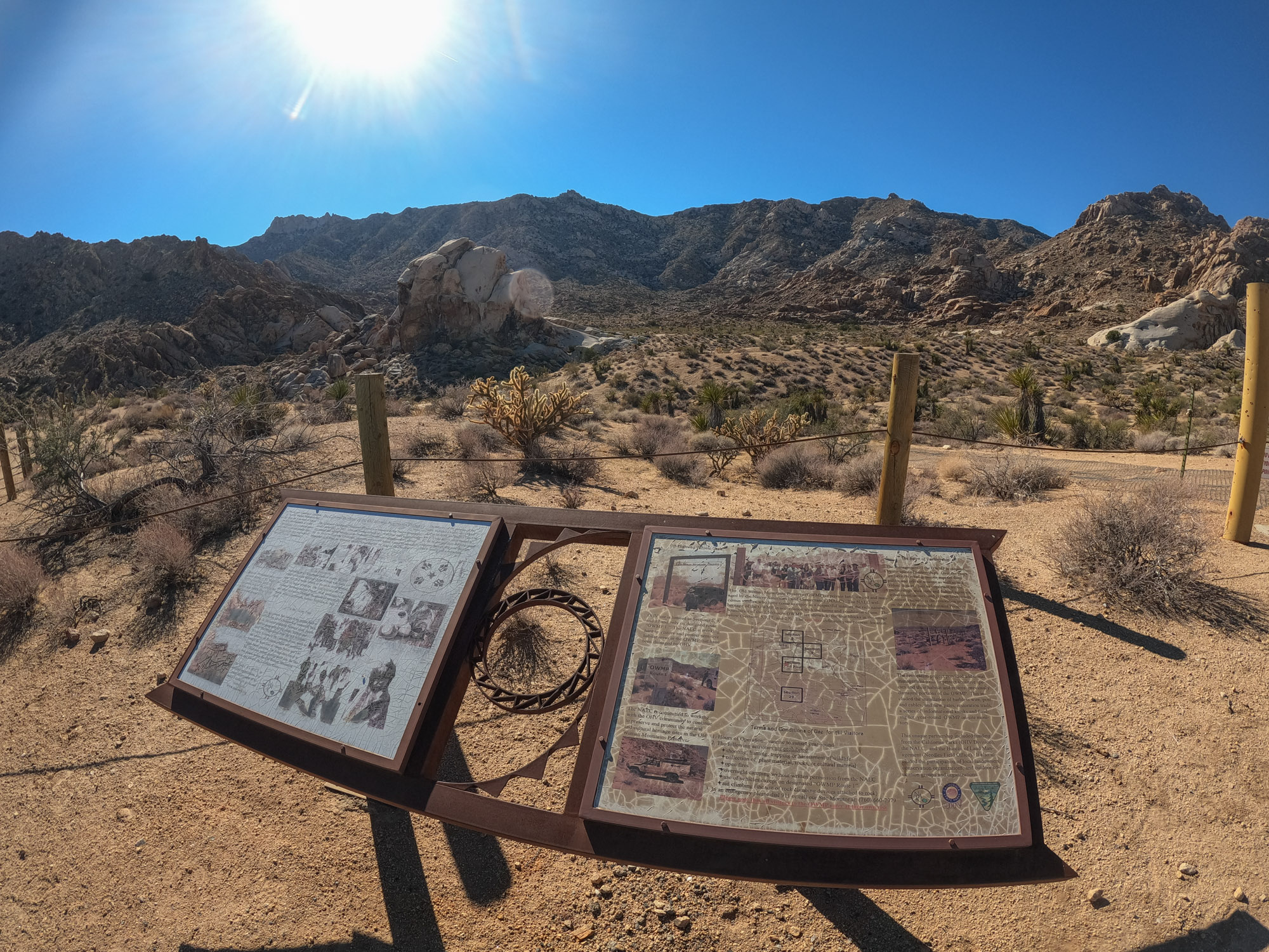


After walking the interactive trail within the preserve we headed towards Sunflower Springs Rd, passing by old corrals, windmills and mines along the mountain sides. A few of the off shoots I had planned were gated and/or fenced off requiring a hefty hike to gain access to so we forged on. For lunch, parked at a amazing spot overlooking Weavers Well, Fenner Valley and beyond.


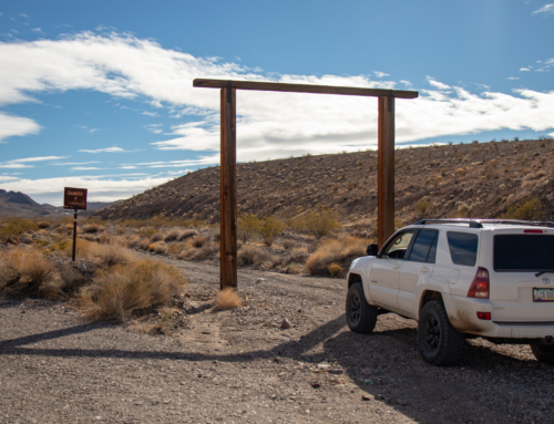
From here the plan was to head south through the mountains to check out the Old Ranch Spring then cut into the Cadiz Valley, but unfortunately was stopped sort by yet another gate. There was a trail bypassing it but my moral compass was pointing in the “be a steward of the desert” direction. Bit of a detour to yet another gasline road to continue to journey.


Livestock Gate.
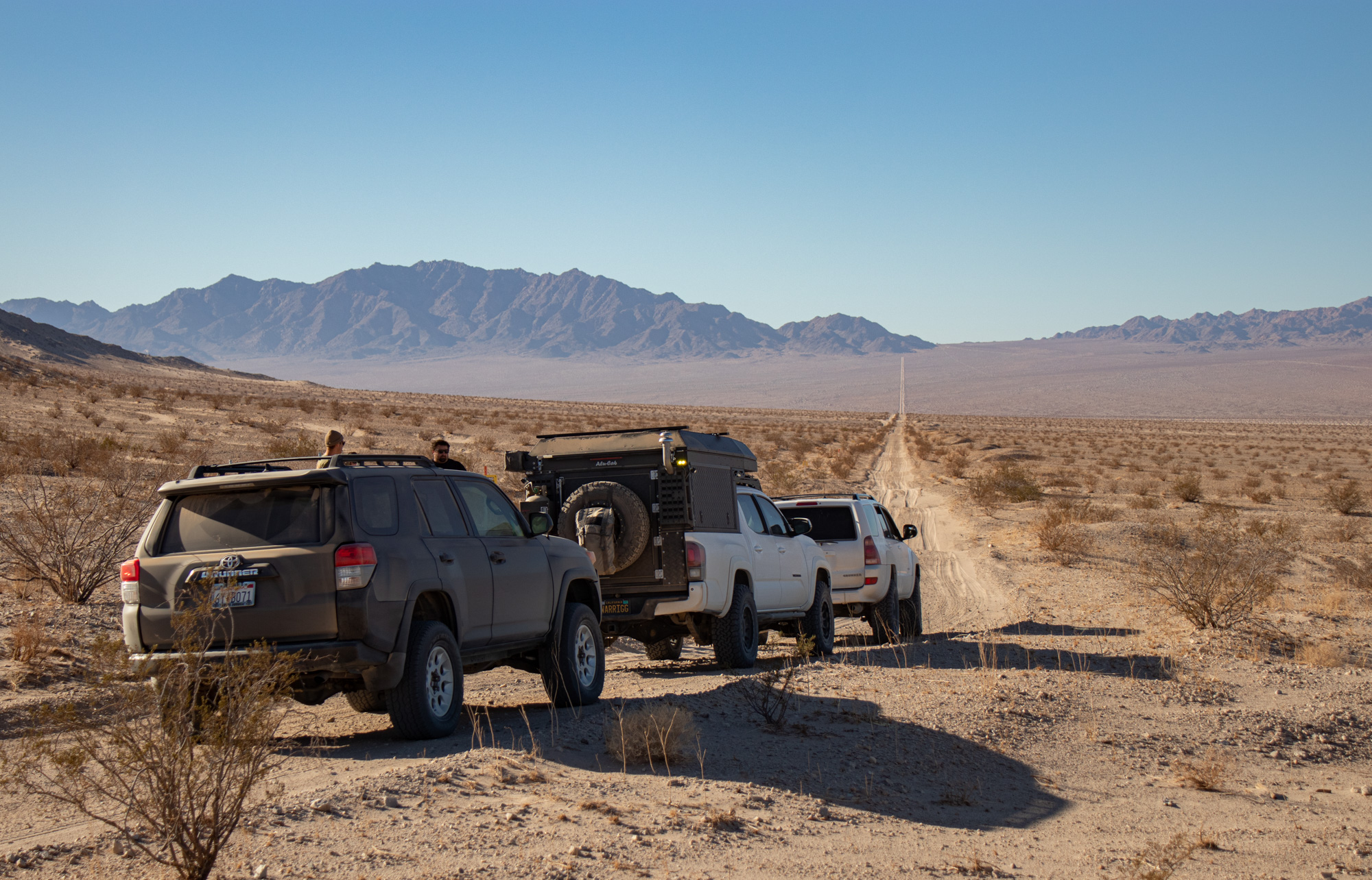
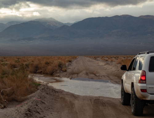
With the few detours we had to make there were two dilemmas. 1 – it was starting to get late. 2 – fuel was an issue. We had the option of cutting the trip short, grabbing fuel in Amboy then finding a camp a little off the road for the night, orrrrrrrrrrr risk it a bit and be somewhere that would be worthwhile.
So we headed further into the desert… South along a trail cutting trough the Cadiz Valley towards the Cadiz dunes. I really wanted to camp up at the Black Metal Mine but that was pushing it too far, and in hindsight was a good thing we didn’t go for it. I had a couple camping spots just outside the dune wilderness that looked like a promising spot for the night.


Perfection! Once again, couldn’t ask for nicer weather. Nor view. Nor sunset that just wouldn’t stop. It was hard not posting every picture I took of ever changing sky and colors.

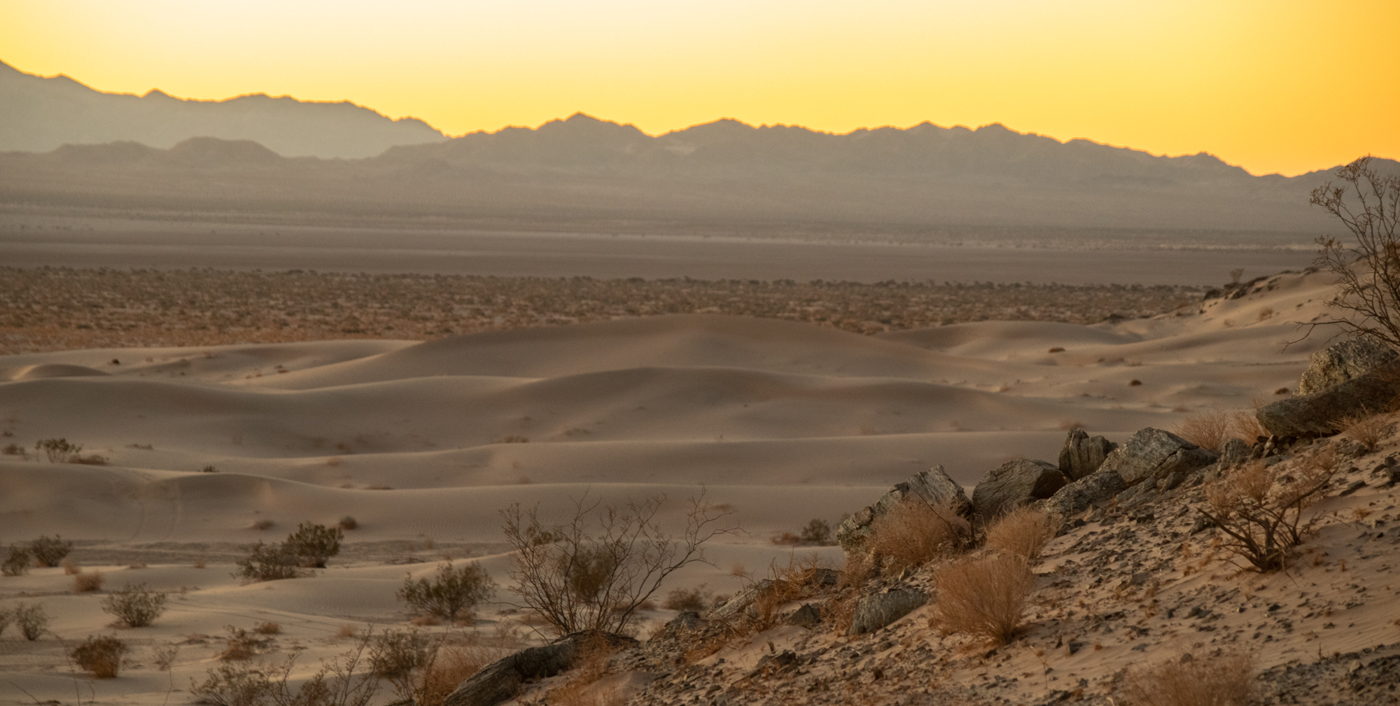


Another night of no tripod. Mucho bummed. The scenery and sky were just asking for some solid astrophotography. Although, waking up early and taking in the killer sunrise slightly made up for it.


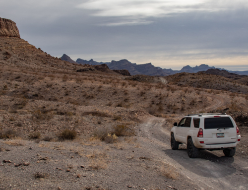
The Tacoma was seriously low on fuel. Some spotty calculations had us making it to 29 Palms just short of running on fumes. We headed north along Cadiz Rd, parallel to the train tracks, then follow a gasline trail to Amboy Rd. Tons of fun driving the last bit of our adventure.


Made it to the gas station with the Tacoma having 11 miles of range left. Just how I planned it. Ha.
Until next time!
Leave a Reply