
Three weekends in a row? Why not? Death Valley, Tierra Del Sol and now a trip to the Trona Pinnacles.
With only a week to plan this one out, it felt a bit thrown together. Usually our trips are pieced together over the course of a few weeks or sometimes months depending on where we’re going. Nonetheless, we made something work and gave ourselves some options to work with. Friday brought in some wicked weather, pouring rain and strong winds made us second question our decision. In the end, threw caution to the, errr, wind and went for it.
The drive up the 395 was miserable and rather sketchy. Lifted vehicles and RTT’s make for a horrible combination when contending with violent side gusts. Add blinding oncoming lights and swerving semi’s and it was a real thrill just getting to our turn off point – just past Kramer Junction where we touched dirt to head east towards Harper Valley. A few rock piles known as “The Buttes” would serve as a makeshift barrier from what felt like a hurricane blowing through.

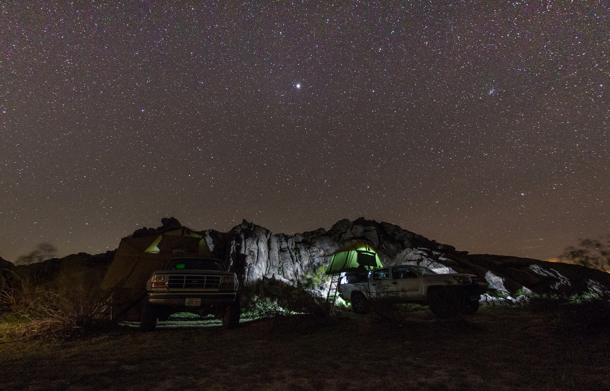
Not much sleep was had that night. Brutal winds punished the roof top tents, rocking the vehicles for hours and the flapping canvas was so loud that not even ear plugs could drown out the sound. Not sure what time it was, but the FAS (fast moving air; we like to avoid the “w” word while camping) eventually stopped and exhaustion took over. Woke to a clear and cool morning and was happy to see that the Tepui suffered no damage. Was somewhat expecting to find something bent or torn but that wasn’t the case.
Harper Valley and the Black Mountains are visible far off in the distance.

Although our Oxx Coffeeboxx didn’t arrive in time, we still managed to bring a brewer and enjoy a warm cup of joe to start the day.

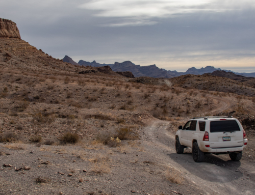
The days mission would be to make it from Kramer Junction to the Trona Pinnacles, all on dirt. A few things to stop and see along the way and our first destination would be the goldfish pond at the McDonald Well. The recent rain was welcomed once we started moving since there was very little dust.


Next up was quick trip through Bird Springs and to the Husky Monument.


“In 1987, Jim Erickson passed on to his next adventure. Family and friends, knowing how much he loved to ride the Cuddeback area, buried his 390 Husky, and scattered his ashes to the four winds and blue skies of the desert. Since then, many other riders have been memorialized here.”***
We spent some time here looking over all the plaques, pictures and the homemade ornamental memorials. Family and friends have done an amazing job making sure their loved ones would not be forgotten.
After paying our respects, we continued our journey.


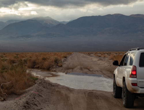
Made our way down the valley towards Cuddleback dry lake. Upon getting closer, it wasn’t completely dry and tracks indicated that mud could be a problem. Put the vehicles in 4-Hi and hammered down. A bit of wheel spin but made it across no problem.


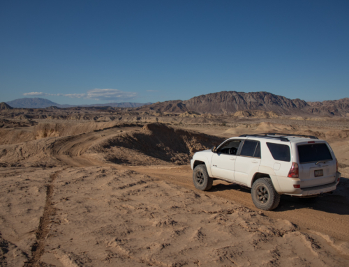
Once on the other side of Cuddleback Dry Lake, a series of trails would lead us in between the Red and Lava Mountains and take us into the Ridgecrest BLM area.


Many spur trails branched off from the pipeline road that guided us towards Ridgecrest and the Spanglers Hills area, most of which have been recently closed down to vehicle travel. One of them offered a great view of the surrounding areas and we took it as a opportunity to have lunch.


Continuing on, we break off from the pipeline access road and parallel the Golden Valley Wilderness boundary making our way down into the Ridgecrest Valley. Smooth, graded and full of rollers, it made for a lot of smiles per mile.


“Rising from the bottom of what was once an ancient lakebed, the Trona Pinnacles represent one of the most unique geologic landscapes in the California Desert. Over 500 of these tufa or calcium carbonate spires are spread out over a 14 square mile area across the Searles Lake basin. These features range in size from small coral-like boulders to several that top out at over 140 feet tall.
The Pinnacles were formed between 10,000 and 100,000 years ago when Searles Lake formed a link in a chain of interconnected lakes flowing from the Owens Valley to Death Valley. ”


We didn’t spend too much time at the Pinnacles. While it was a great accomplishment to finally get to see them in person, couldn’t help but feel a bit underwhelmed. People everywhere, sitting in chairs by their vehicles staring about and people walking all over the formations in nearly every direction really took away from what I’m sure would be a greater experience if it felt a bit more preserved and secluded. A few areas seemed relatively untouched, but most had foot trails throughout breaking and crumbling the fragile spires.


About the time we left the Pinnacles, the wind began to pick back up. It seemed we would have a repeat of the previous night and decided it would be in our best interest to spend the remainder of the day seeking a prime wind barrier. We continued north to form a loop around the Pinnacles and start our way towards the Spangler Hills and the Wagon Wheel OHV area.


The idea was that we’d be able to find a suitable rock pile to camp behind to hide from the whipping winds. We searched the area and most spots have already been taken by other campers, and the ones that were available didn’t help.


No suitable sites to be found, we continued south in hopes of accessible shelter. With gusts getting stronger and stronger, finding a suitable spot was more pressing then ever. Driving down into the next valley looked hopeless, but a small set of hills to the east caught our eye. We turned off the main road and headed towards the Stephens Holding Mine, where we’d finally find a break from the wind and find our camp spot for the night.


In the morning, we abandoned the idea of taking dirt roads into Randsburg and instead opted for the smooth and paved Trona Rd. The last couple weekend were beginning to catch up with us and getting home at a decent hour sounded better and better. The small town seemed rather dead and uneventful, so after a short while we called it a trip and started our journey back…


That was until the power line trail on the way home became way too tempting to pass up. We made the switch from paved to dirt a few miles in, which gave us a more direct route to check out the abandoned radar and prison known as Boron.


As we got to Boron, not a single trespassing sign, gate, fence or barrier blocked a way in. If there were, we’d have continued past and called it a day. But the facility seemed open and we proceeded with caution. There is a still active radar on site, but we steered clear and explored the remaining portion which was used for government, and later prison purposes. There has always been a fascination with deserted and abandoned locations. The thought that people used to live and work here is fascinating to think about. Family and friends used to call this place home, but is now decaying from the elements. Please, if you decide to check it out for yourself, don’t vandalize it anymore then it already is. It’s an amazing place to explore as of now and you should leave it as you found it for the next person.


There is still a ton to explore in the Ridgecrest, California City, Cuddleback area and we look forward to returning for more.
Until next time…
*** http://thebannerisup.district37ama.org/places/husky-memorial.shtml
Leave a Reply