
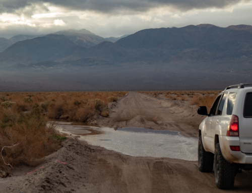
Donkeys, Saline Valley’s equivalent of the Yosemite bear. Patient and sneaky, quietly waiting for the opportune moment to mosey into camp and help themselves to whatever food isn’t locked away. That moment was about 2 a.m. Out of all the things we planned and prepared for, having our breakfast stolen wasn’t one of them. Some of our group was awakened in the middle of the night and successfully chased them back into the desert, but it was too late. Donkeys 1 – TAC 0. The rest of us were completely unaware of what happened, and it came as quite the surprise in the morning when we had our tent to tent conversations.


After a makeshift breakfast, it was time to start the journey home and return to the daily grind. That gloomy feeling begins to linger, periodically reminding you that soon you’ll be trading the awesome landscapes and time with friends for a static view behind a desk. Suppose we have to pay for these adventures somehow… Thankfully, we’re still far away from our Monday through Friday responsibilities and a bit more fun awaits.

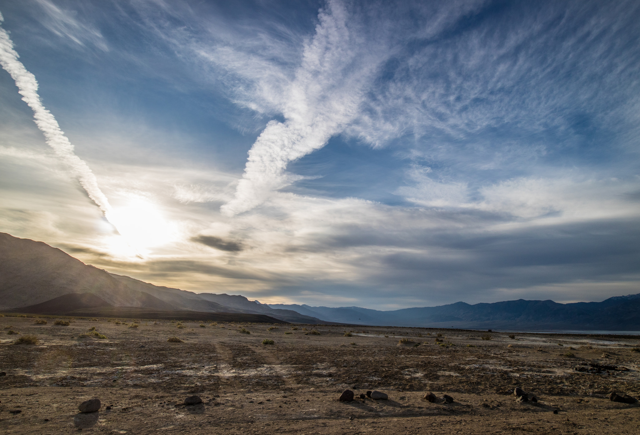
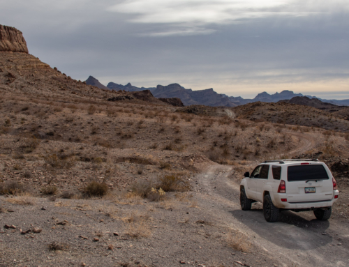
Instead of taking the easy way home, we’d leave Saline Valley and the hot springs behind by way of Steele Pass. Most of the trail follows a rocky wash up a long and gradual slope, not presenting any challenges until closer to the summit.

Photo Credit – Alissa R.

Photo Credit – Alissa R.


Photo Credit – David Plueger Photography

Photo Credit – Alissa R.


Once at the top of Steele Pass, the trail immediately starts it’s decent towards Deckerea Canyon and Eureka Valley.


Photo Credit – David Plueger Photography
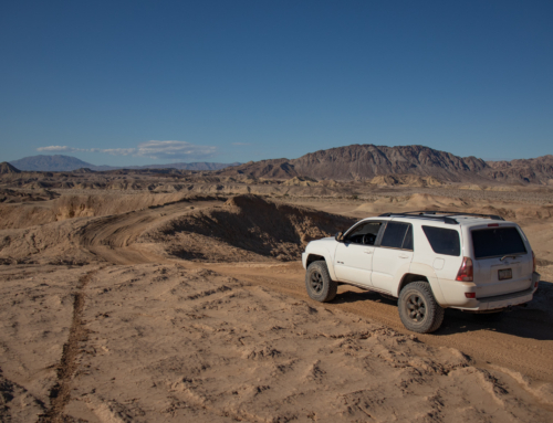
Deckerea Canyon is what separates Saline Valley from the Eureka Valley. Steep and sharp rock walls form on each side leaving a narrow passage in between. In addition, several drop offs make it a bit more difficult and prevent many travelers from making it through.

Photo Credit – David Plueger Photography


Photo Credit – David Plueger Photography


Photo Credit – David Plueger Photography


Photo Credit – David Plueger Photography


Finally over the last obstacle and around the following turn, the Eureka Dunes come into view. The second tallest in North America. In a way, this trip was created to see them. Months of research, planning, preparation and a few days of execution paid off. After seeing them from afar, it was time to get up close and have ourselves some lunch, what was left after the donkeys anyways…


Photo Credit – David Plueger Photography


Finished up lunch and started our journey home. Another epic adventure with amazing friends.


Death Valley, we will be back…
Leave a Reply